Your browser is out-of-date!
For a richer surfing experience on our website, please update your browser. Update my browser now!
For a richer surfing experience on our website, please update your browser. Update my browser now!
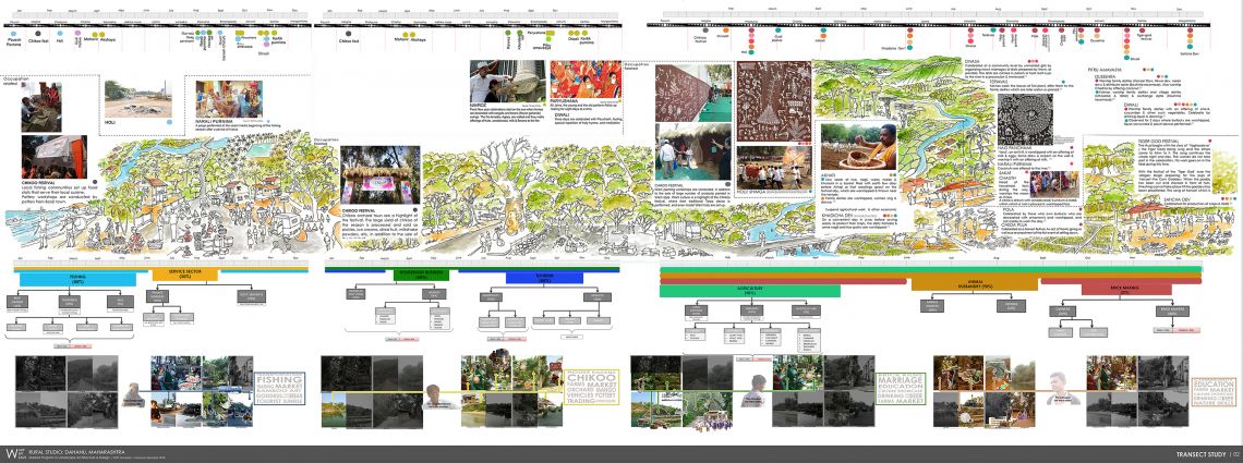
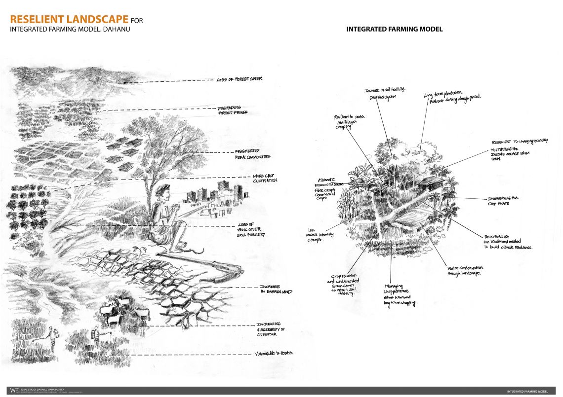
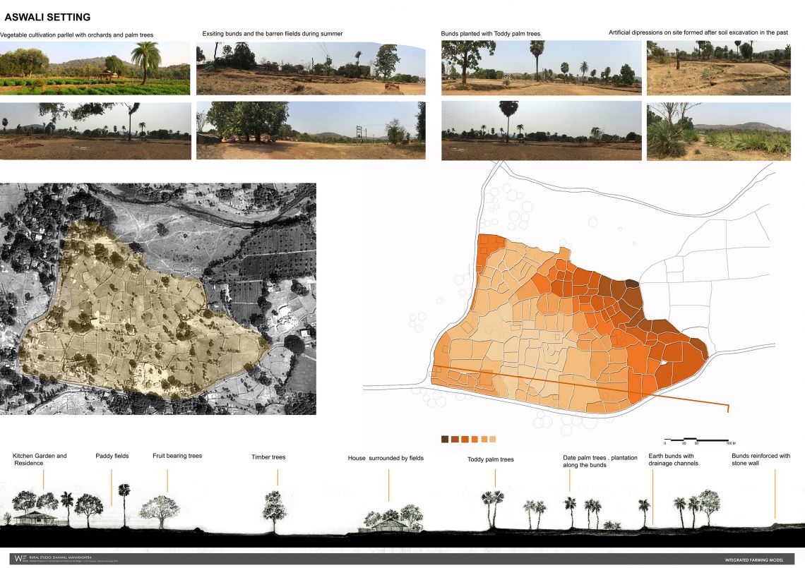
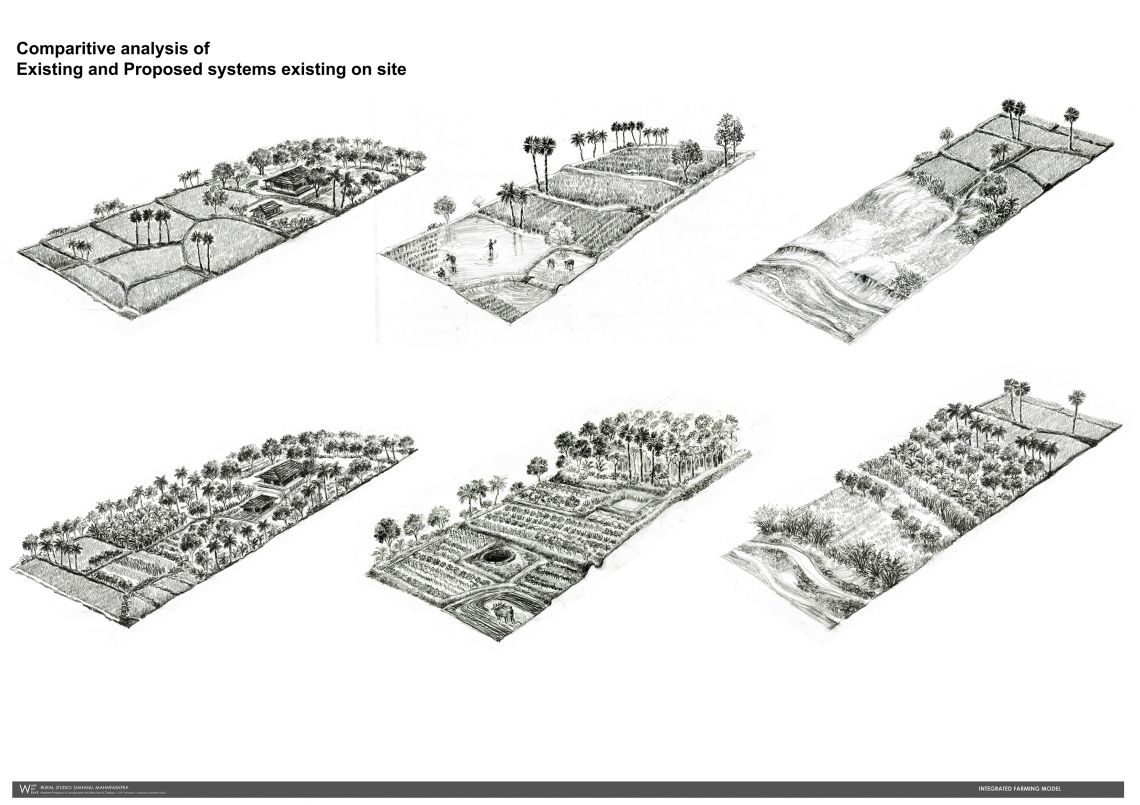
Design intention is to facilitate a sustainable modular system through understanding of the physical setting of a specific hamlet as the smallest component .
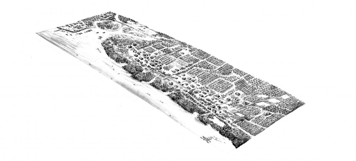
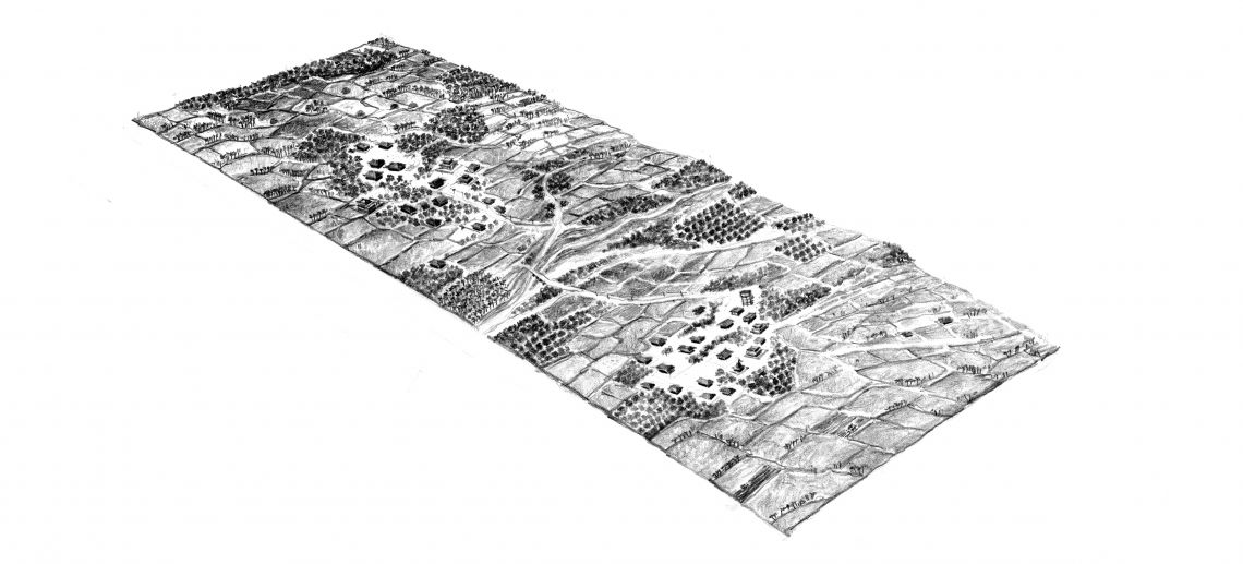
Understanding the topography of the land and developing micro level land use plan through design of various crop patterns.
Multiplying the agro economy through diversification of crop patterns both seasonal and long-term.
Diversification of crop pattern worked with low cost investment methods through design strategies for various parts of land works as an example for the community. Designing a closed loop farming systems with supporting systems like Animal Husbandry and orchards also create resilient Agroecology.