Your browser is out-of-date!
For a richer surfing experience on our website, please update your browser. Update my browser now!
For a richer surfing experience on our website, please update your browser. Update my browser now!
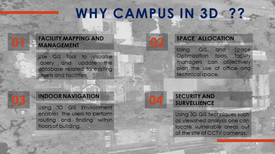
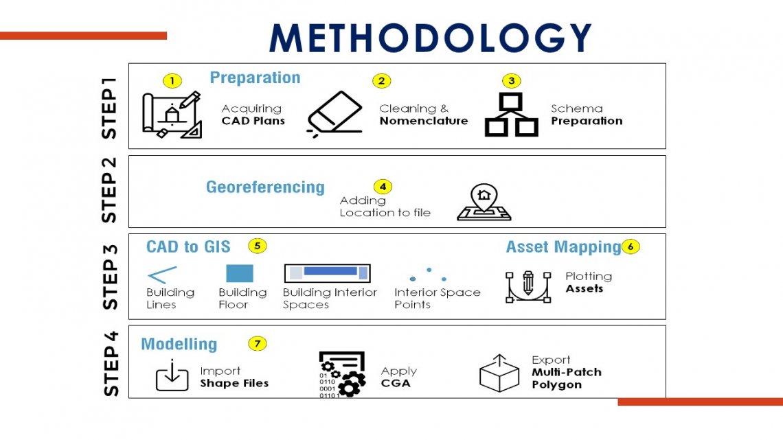
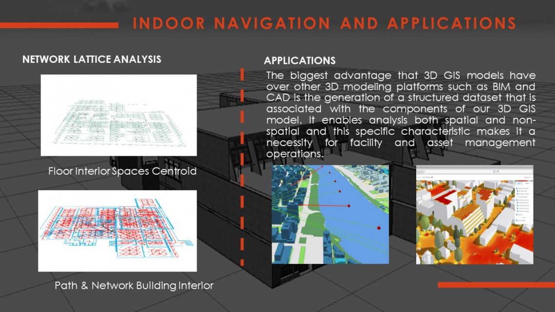
Geographical information system technology manages infrastructure both outside and inside buildings to full operational awareness and facility management. 3D Geographical information system gives better visualization for an academic institution to look at their facilities, allowing them to manage resources, make better decisions and improve the performance of management. Facility management using 3D Geographical information system has an advantage over 2D as the overall model is in an isometric view so the user can better see the relationship between spaces, systems and general architecture. Facility management using 3D Geographical information system has an advantage over 2D as the overall model is in an isometric view so the user can better see the relationship between spaces, systems and general architecture. The purpose of 3D visualization through Geographical information system to manage facilities are to facilitate the analysis and understanding usage of services in an academic institute.