Your browser is out-of-date!
For a richer surfing experience on our website, please update your browser. Update my browser now!
For a richer surfing experience on our website, please update your browser. Update my browser now!
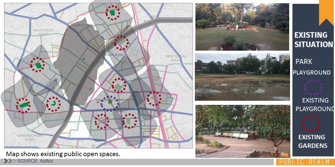
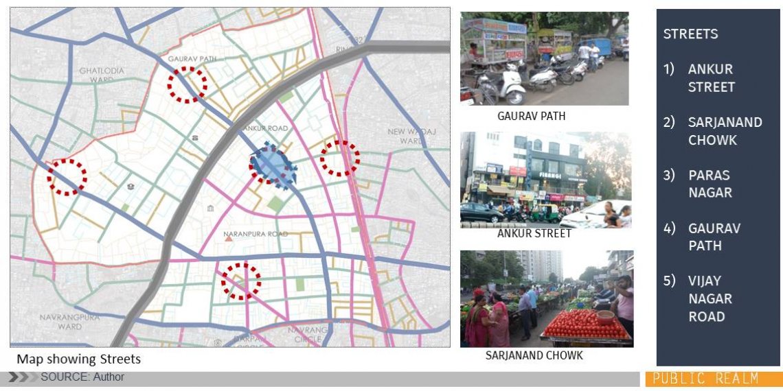
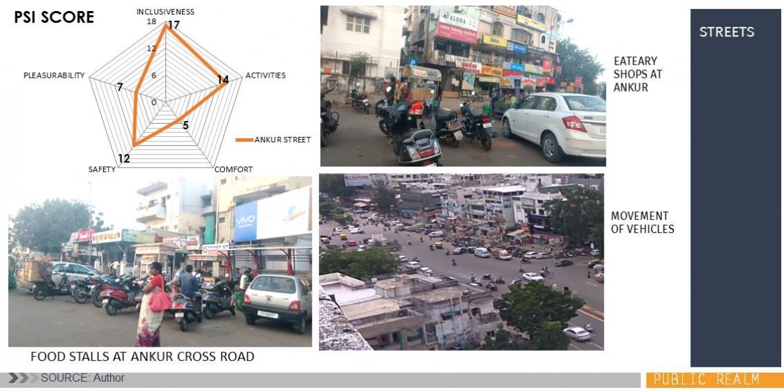
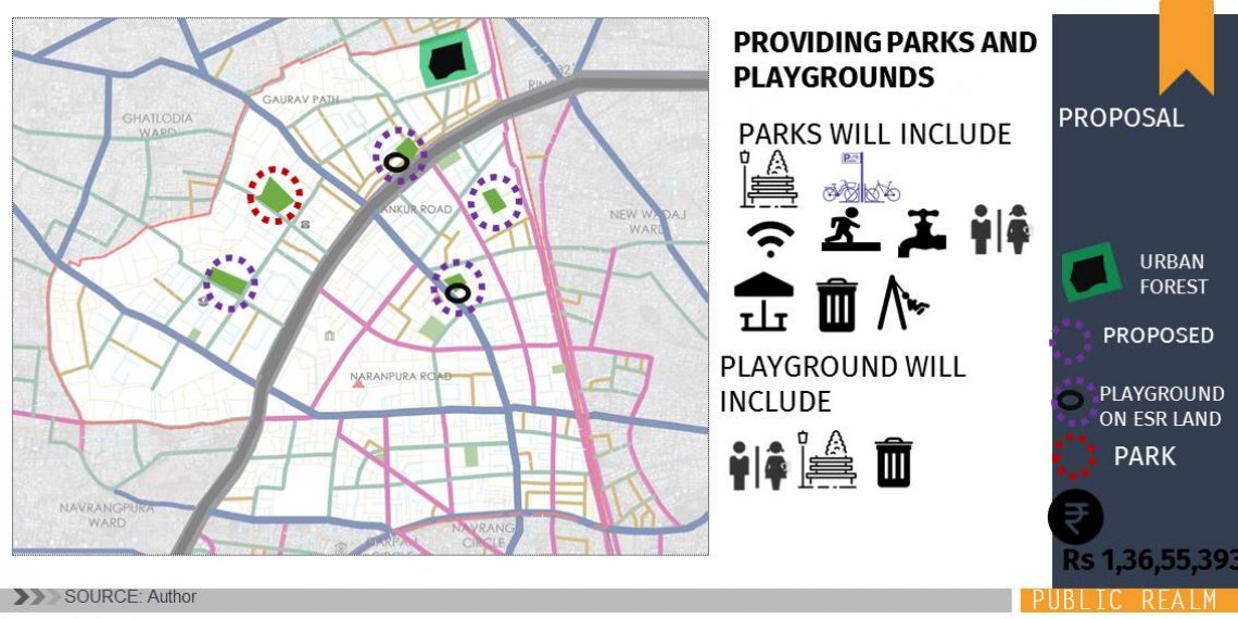
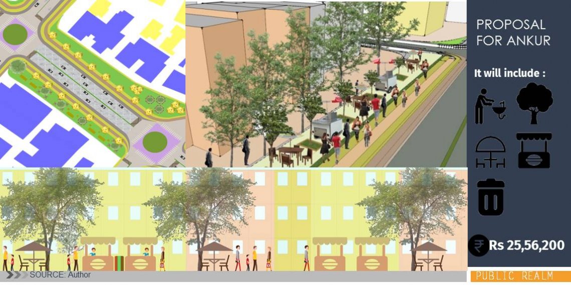
The area planning studio helps to understand the concept of making a ward level plan which includes a number of components like land use, transport, infrastructure, public spaces. It is the proposal for public spaces in Naranpura. Naranpura is predominately residential ward lying on the west of Sabarmati River. The proposal is based on improving the present public spaces being available and providing them where necessary. In addition to it, it shows the built form transformation index for the ward.