Your browser is out-of-date!
For a richer surfing experience on our website, please update your browser. Update my browser now!
For a richer surfing experience on our website, please update your browser. Update my browser now!
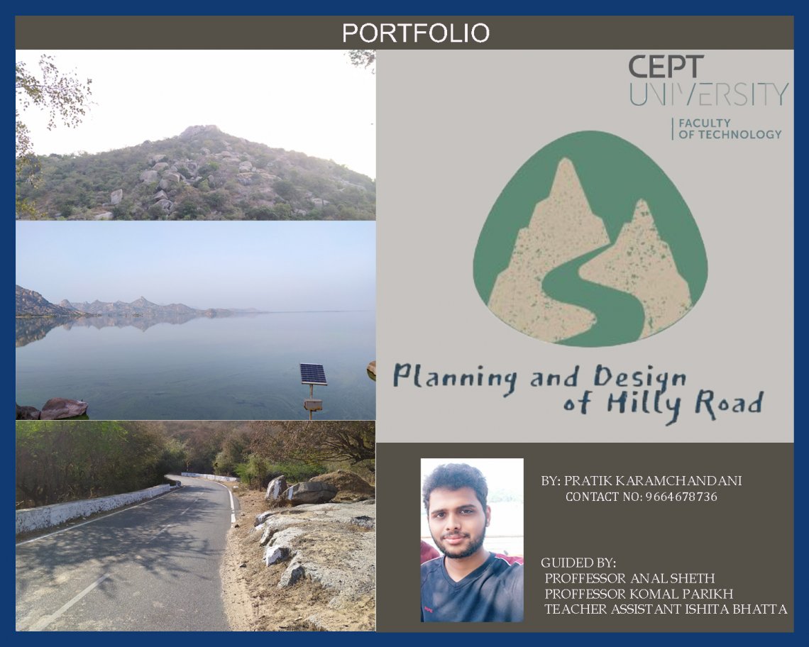
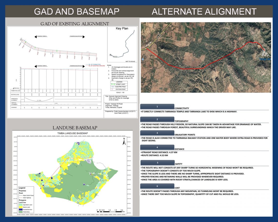
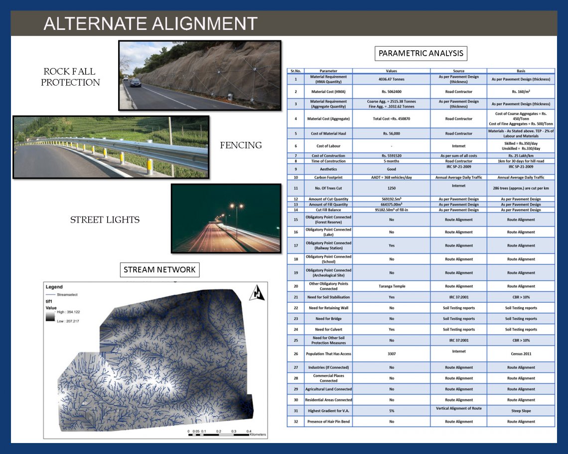
The Taranga Hill is located in the Timba village of Mehsana District in Gujarat. We surveyed and studied 1.7 km of an existing alignment which 4.2 km from Taranga temple to state highway SH56. We did reconnaissance survey and mapping of different obligatory points. We studied the Road map and the soil map of the region to get a better understanding of the terrain and the type of road passing through it. We proposed an alternate alignment taking IRC as reference and calculated different quantities. We made 3d model of existing route.