• Home
  • FP
  • UP4002
  • Desired Urban Peripheral Driven With Planning Policies

Aditya Shrikant Deshmukh

UP4002

Desired Urban Peripheral Driven With Planning Policies

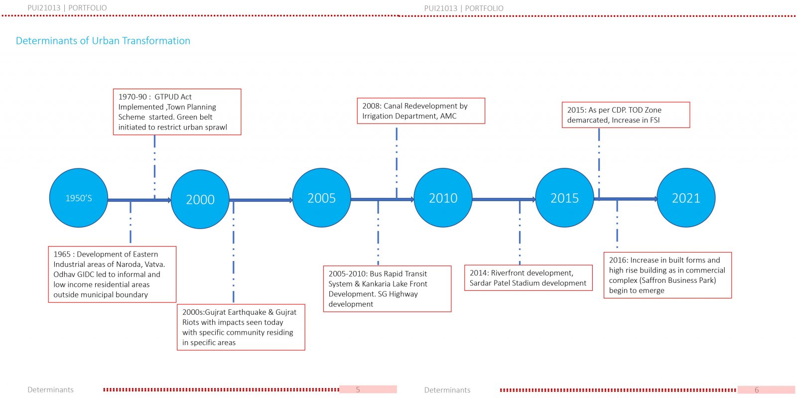
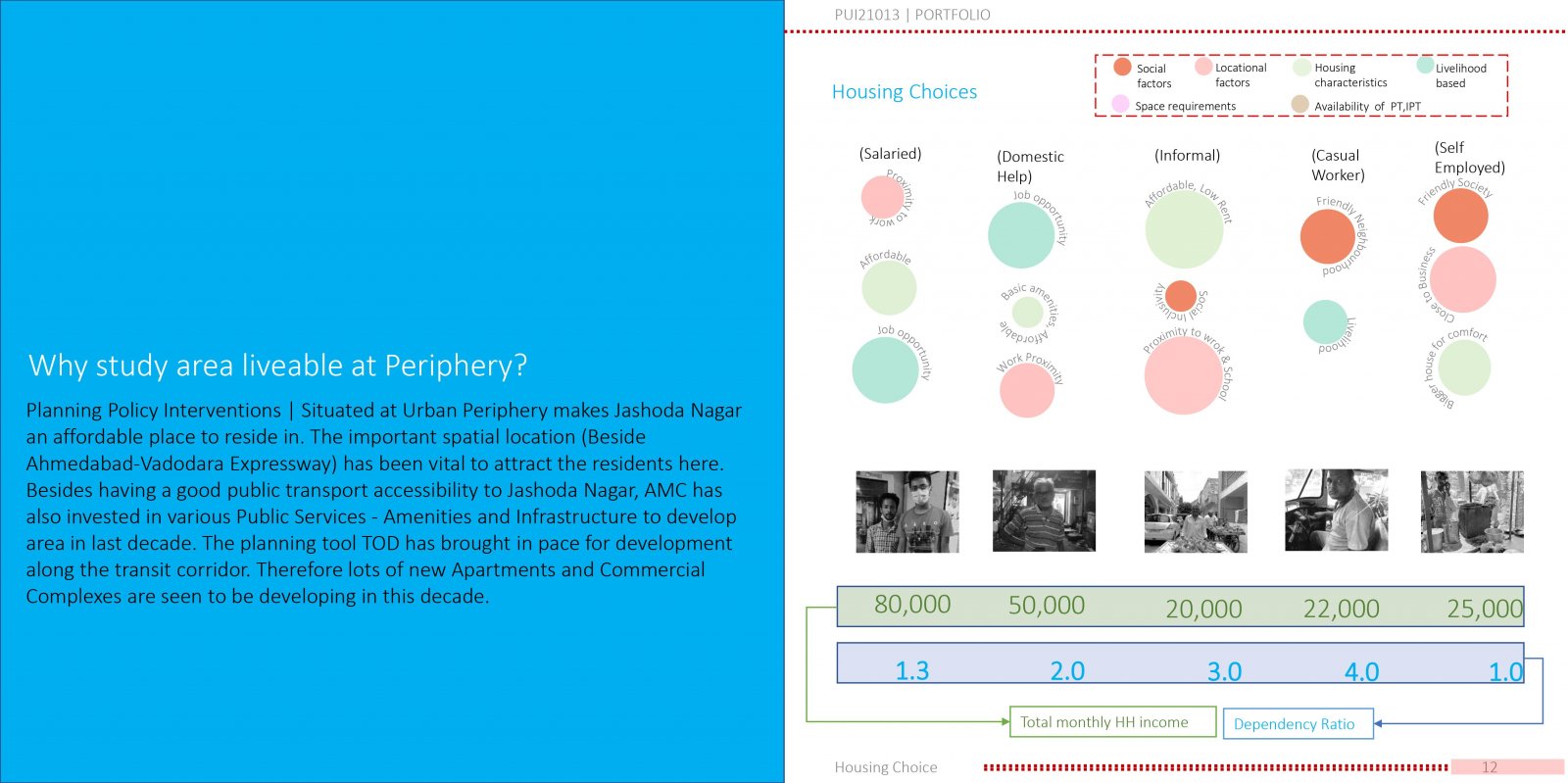
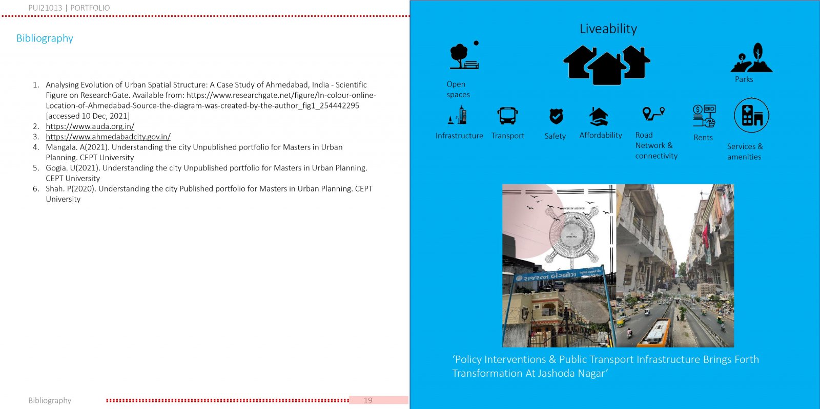
Jashodanagar lies in South Zone of peripheral Ahmedabad with transit route (NH8) running through. It’s Close proximity to GIDC & housing societies those developed under TPS are catering to residence for working class population since 1990’s. Implementation of BRTS and Canal Beautification project in 2000’s, captivated private developers. This later in 2016, with demarcated TOD zone i.e. receiving incentives from ULB as additional FSI’s increased the capital investments in region. Therefore affordability, mobility & planning policy (TOD) combinedly bringing in major developments with new commercial complexes and apartments (using underutilized FSI). Thus, responsible to initiating creation of desired livable conditions.


Report Content

Image speaks about the introduction of Ahmedabad City. The Spatial location of Study area (Jashoda nagar) is represented. Aspects of governance and Demography at city level are analyzed.

Image speaks about the History and Evolution of the specific to study area. Interpretation of Satellite imagery is studied and physical transformations are shown. Along with it, the TP Scheme is depicted as per plans of TPVD.

Image speaks about the key determinants of Urban Transformation. Various policies with their year of implementation are analyzed.

Image speaks about the existing characteristics of the study area. It talks about the various typology of buildings observed in the precinct. It discusses about the Composition and Quantification of different residential typologies. It disscusses about the a row house section and 3 building interfaces seen in the study area.

Image speaks about the different scale of footprints found in the precinct. It also discusses about the proportion of built vs unbuilt nature of the study area. Later Census data interpretation is done at ward level. Later Residential FSI map analysis supported with images of the study area is done. Population Density Map is also analyzed with an angle from spatial inter relations of the study area

Image speaks about the ways how the study area is livable although its location is in periphery of the city. Primary survey data analysis regarding the housing choices is also studied in this image

This image talks about 3 questions raised, Where? Who? How? Where do residents go for jobs is covered under economic base study, Who go to work, is covered under the demographic study, and how do they get there is studied under ease of connectivity heading.

Image studies about the presence of infrastructure services that caters its services for better livability. Infrastructure includes the Water supply and Solid Waste Management. The Image studies about the GDCR regulation about the FSI provided. It also captures a part of group exercise that talked about the presence of Existing vs Purchasable Built up areas.

This Image captures all about the affordability within the study area when compared to 6 other prominent areas in the Ahmedabad city. Property prices, distance from city centers, rental prices, etc aspects are analysed.

Bibliography along with factors of livability are discussed in this image. Also, a photo montage to conclude with a broad descriptive statement at end.