Your browser is out-of-date!
For a richer surfing experience on our website, please update your browser. Update my browser now!
For a richer surfing experience on our website, please update your browser. Update my browser now!
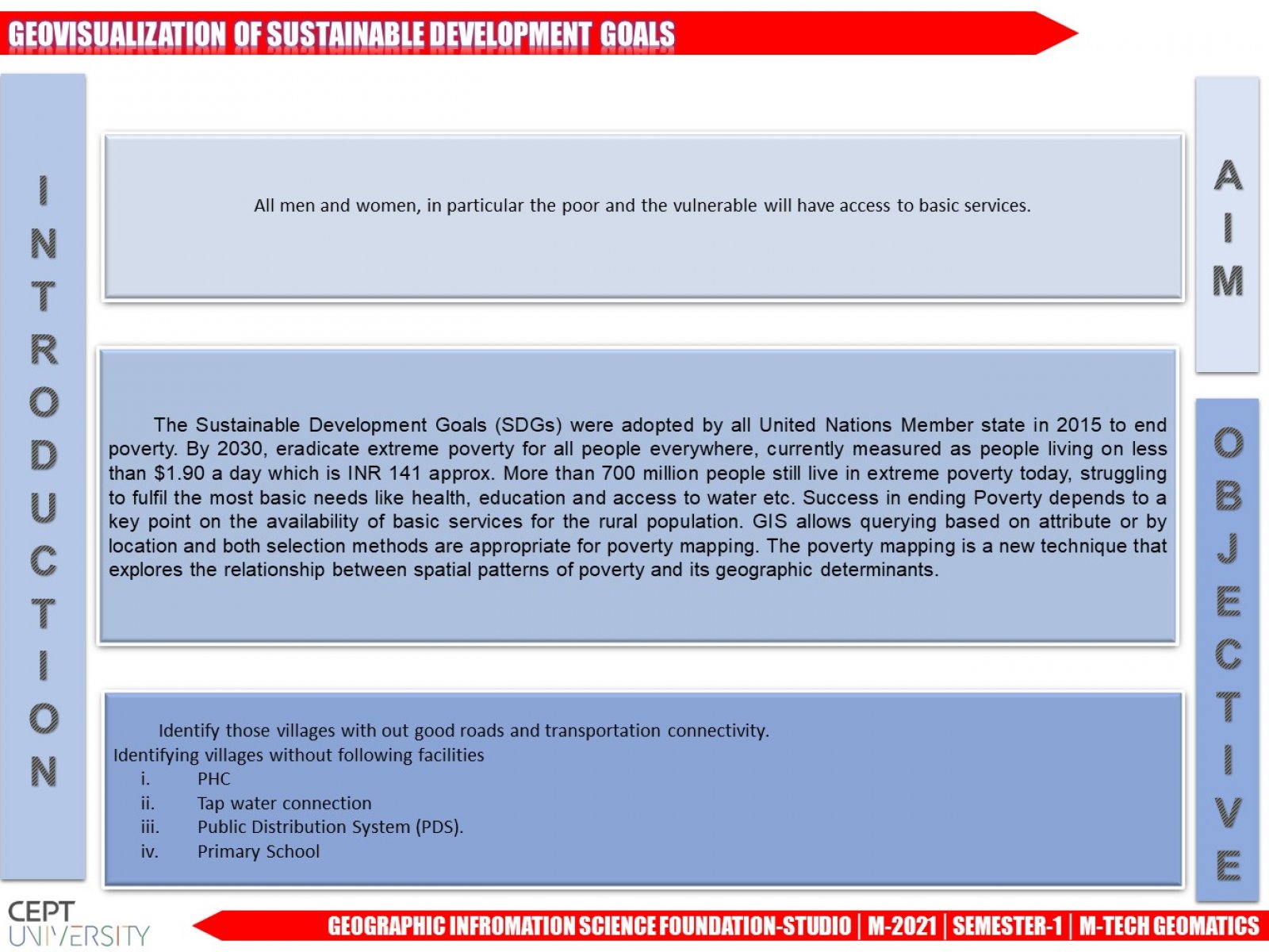
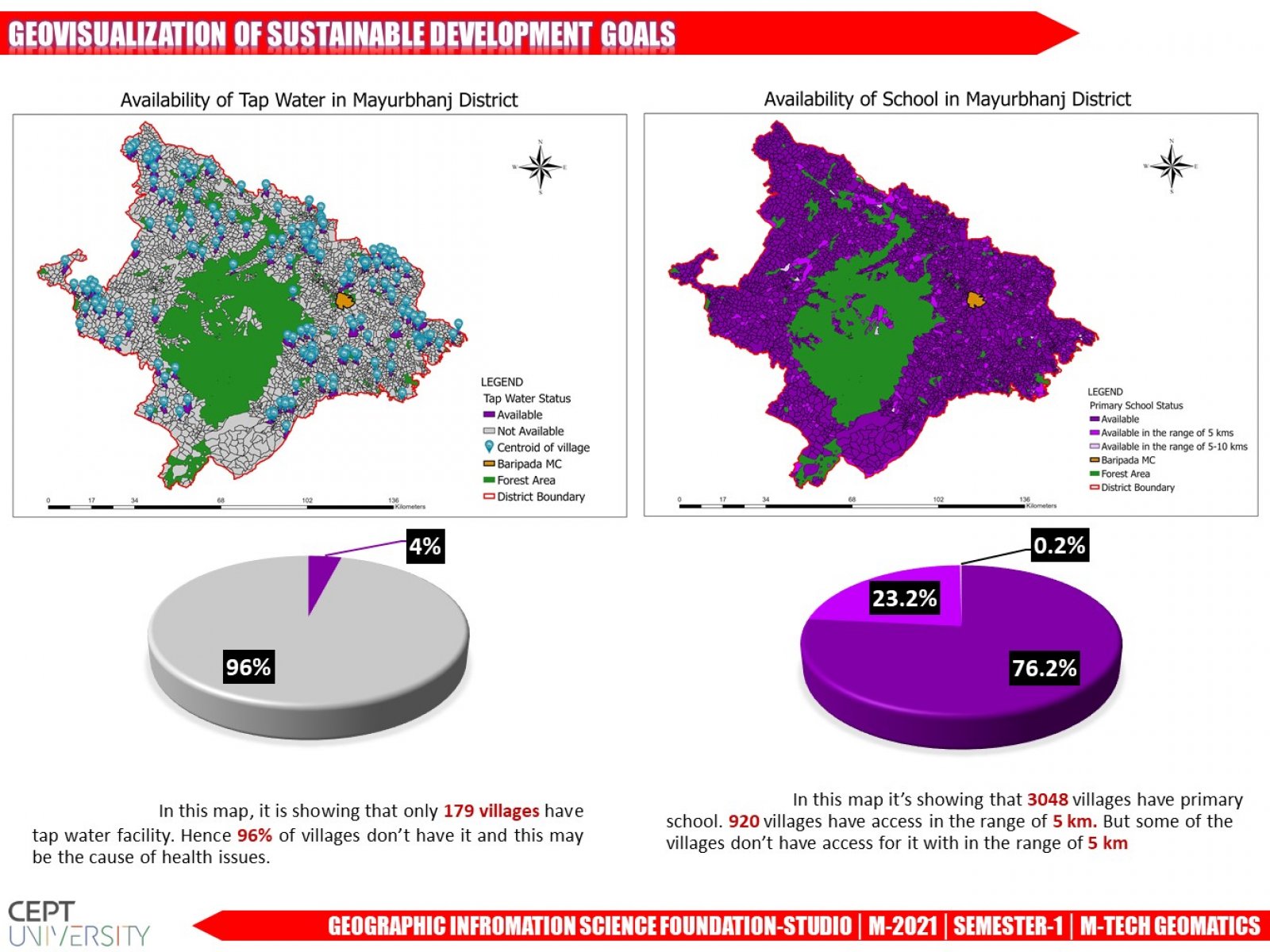
GIS allows querying based on attribute or by location and both selection methods are appropriate for poverty mapping. The poverty mapping is a new technique that explores the relationship between spatial patterns of poverty and its geographic determinants.