Your browser is out-of-date!
For a richer surfing experience on our website, please update your browser. Update my browser now!
For a richer surfing experience on our website, please update your browser. Update my browser now!
What
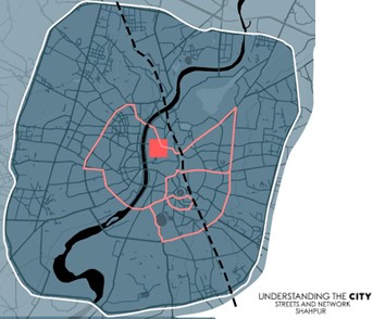
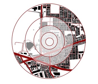
The exercise focuses on developing a holistic understanding of streets and networks and how they enable mobility. The final output is a series of maps showing hierarchy, block sizes, street and node densities along with street sections resulting in an analysis of accessibility for non-motorised modes of transport.
Why
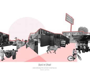
Streets fulfill a dual purpose in cities, on the one hand they allow for movement of people and goods while on the other, they function as a platform for people to enact the mundane (walking,vending,playing etc.) and the extraordinary (festivals, weddings etc.). They are an extricable part of urban life and hence an integral part of urban studies.
How
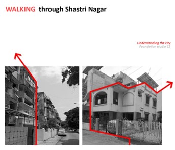
The exercise aims to introduce students to the physical and quantifiable aspects of street and networks. This is achieved by first introducing the students to street network assessment, where hierarchies, street density, link to node ratio, node density and block sizes are studied. This is followed up with assessing the street condition and road-inventory and understanding the varying capacities of streets. The studies are conducted by developing GIS databases via primary survey.
View Other Work