Your browser is out-of-date!
For a richer surfing experience on our website, please update your browser. Update my browser now!
For a richer surfing experience on our website, please update your browser. Update my browser now!
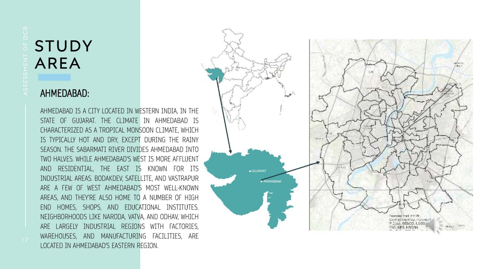
This study focuses on the vulnerability of Ahmedabad's wards to flood-induced disasters due to rapid urbanization. By using census data, a vulnerability index is developed to identify areas that require attention and resources for mitigation. The study aims to scrutinize local laws and regulations to make Ahmedabad more resilient to climate change-induced disasters. The index provides policymakers and urban planners with a tool to prioritize resource allocation and investments in infrastructure, such as drainage systems and flood-resilient buildings, to enhance the resilience of the population and infrastructure in affected regions. The study fills a crucial gap in understanding urban vulnerabilities to climate-induced disasters, which can be applied to other regions with minor modifications.