Your browser is out-of-date!
For a richer surfing experience on our website, please update your browser. Update my browser now!
For a richer surfing experience on our website, please update your browser. Update my browser now!
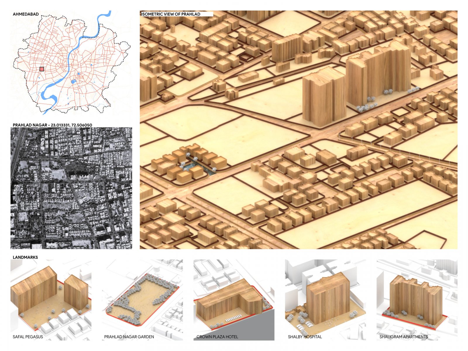
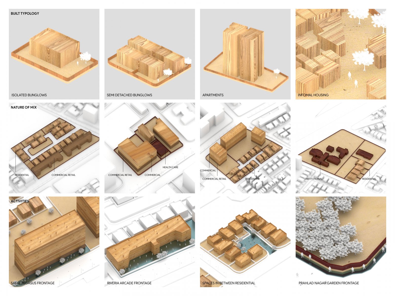
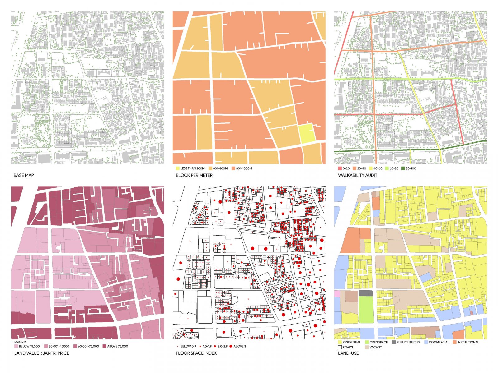
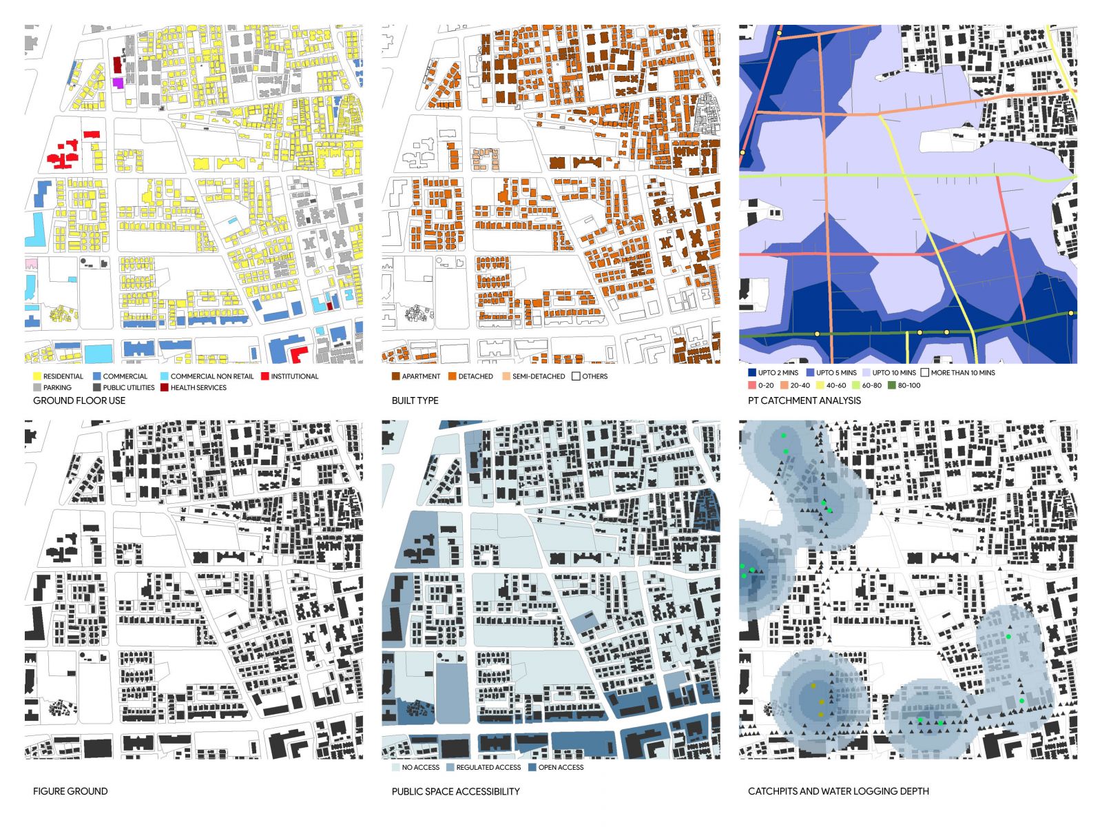
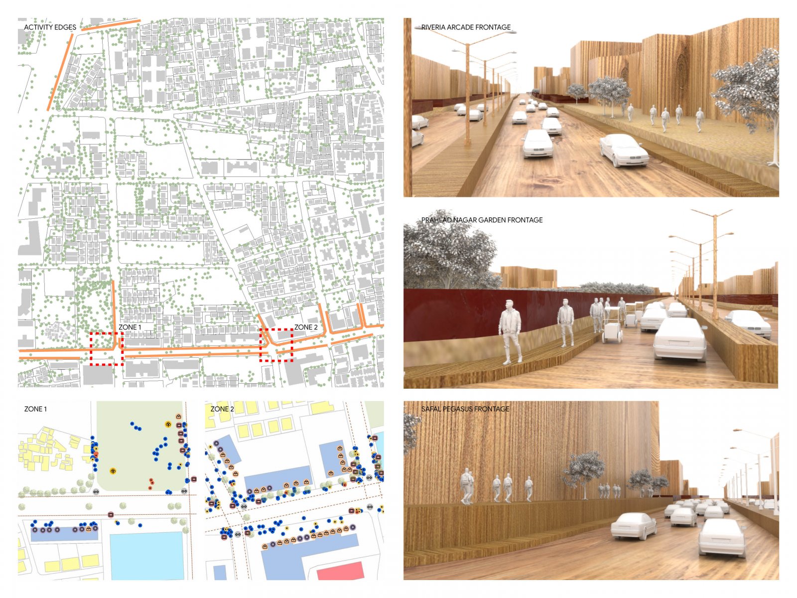
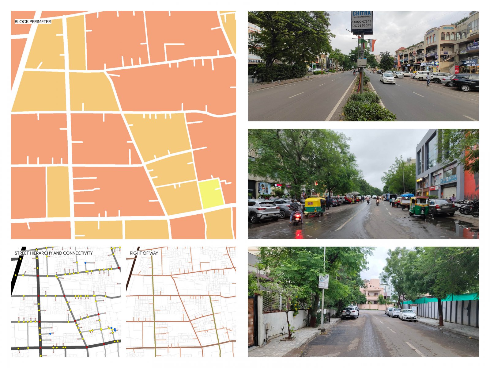
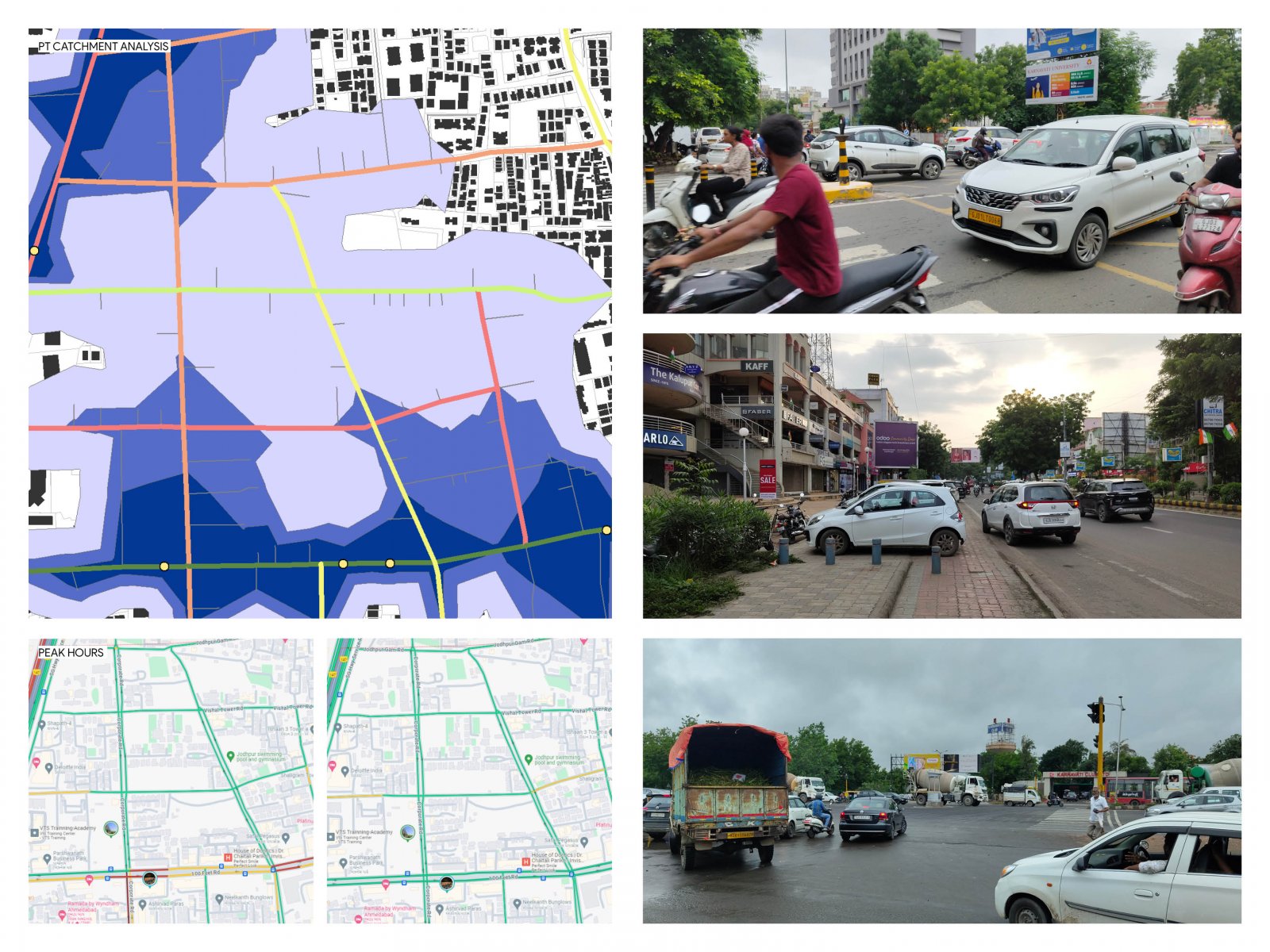
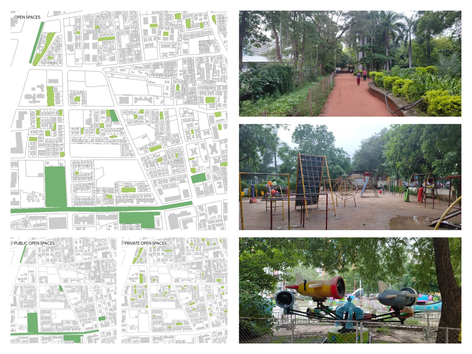
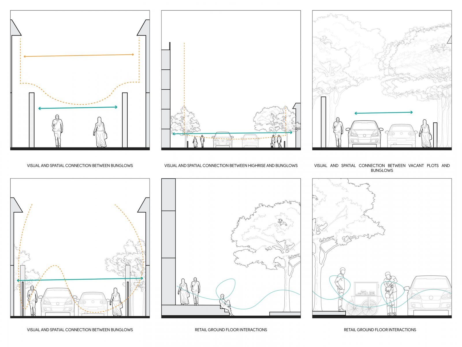
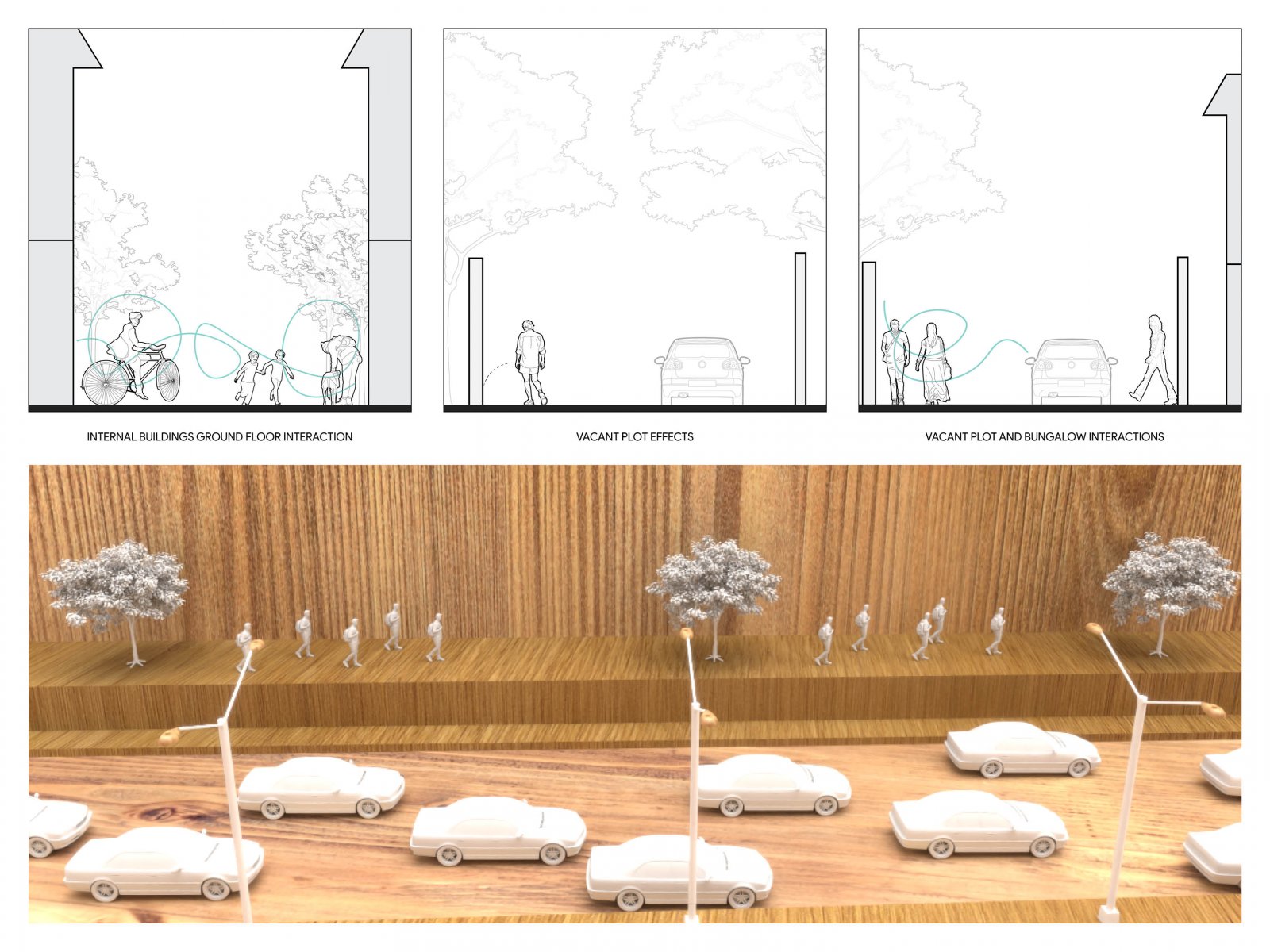
This project explores the 1sq.km precinct of Prahlad Nagar, Ahmedabad, as part of the foundation course at CEPT University. It delves into urban dynamics, examining parameters like land use, built form, street interface, accessibility, public open spaces, and socio-economic interactions. The study aims to uncover the precinct's spatial character, urban design principles, and functionality, providing a comprehensive understanding of its planning framework. Insigths were drawn through detailed mapping, data analysis, and fieldwork, offering critical reflections on urban systems and their implications for livability and inclusivity.
