Your browser is out-of-date!
For a richer surfing experience on our website, please update your browser. Update my browser now!
For a richer surfing experience on our website, please update your browser. Update my browser now!
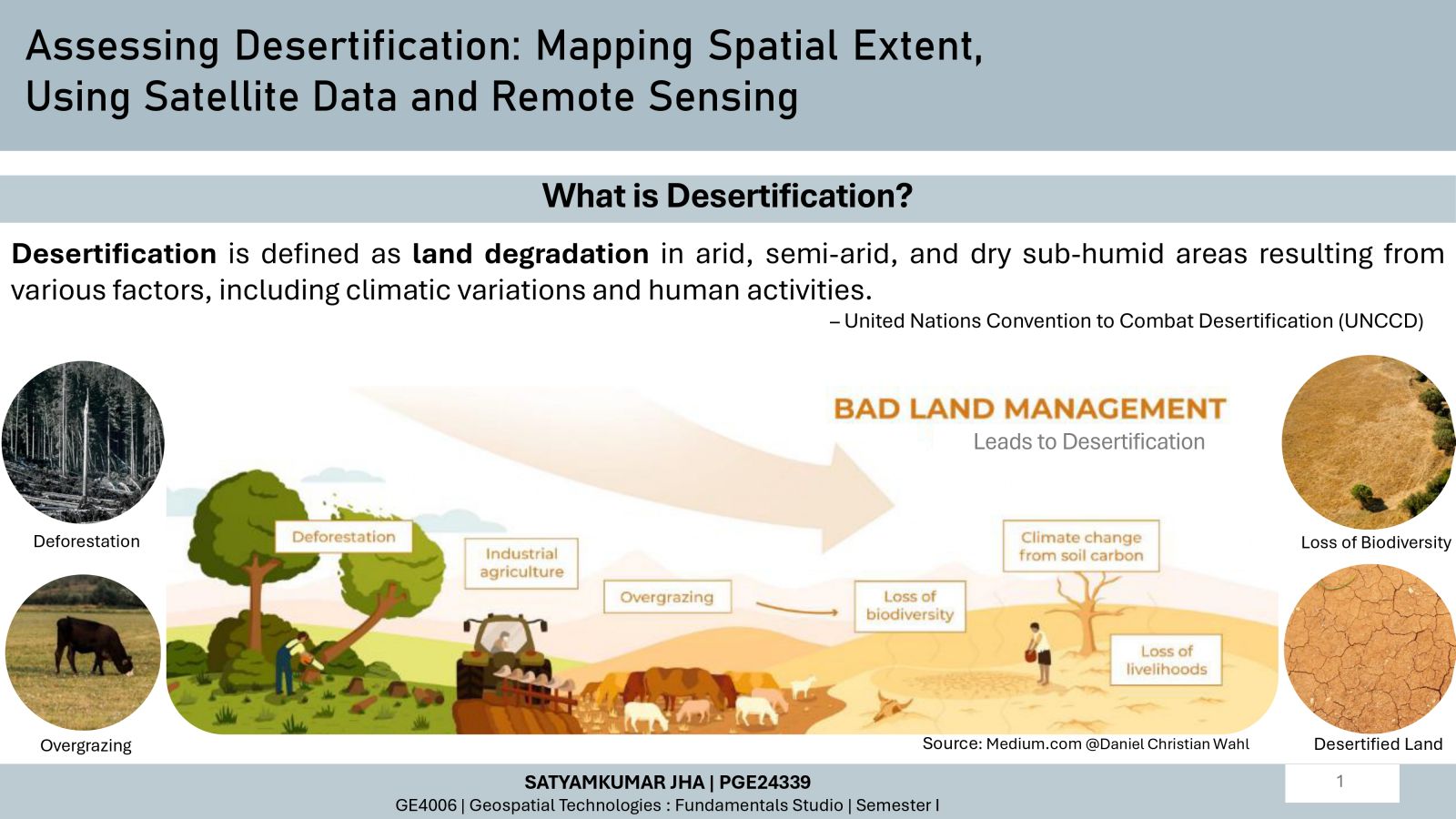
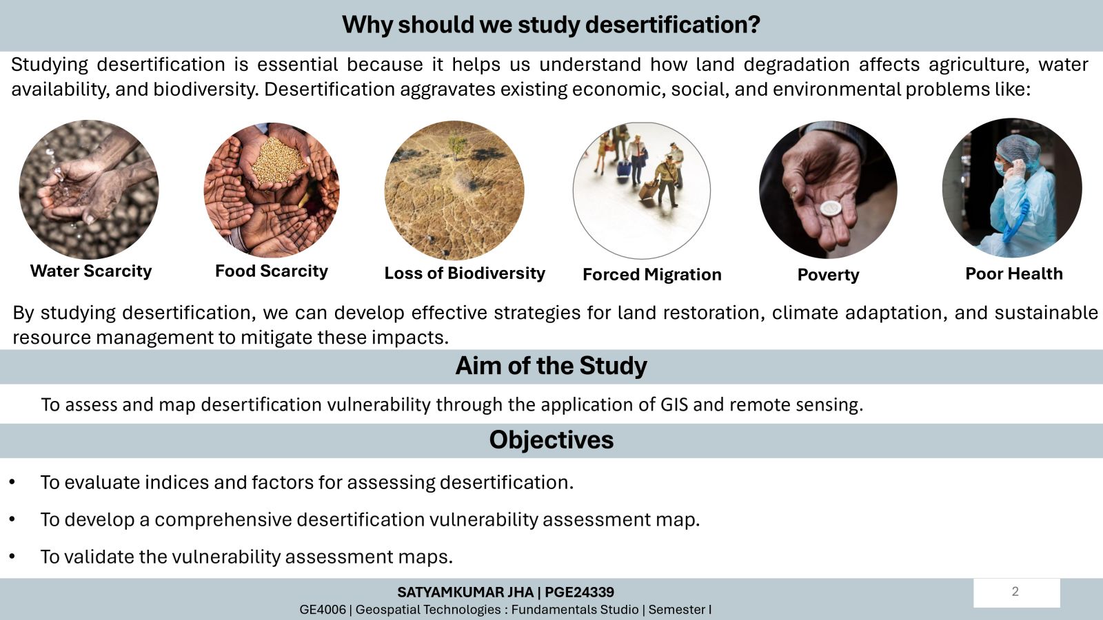
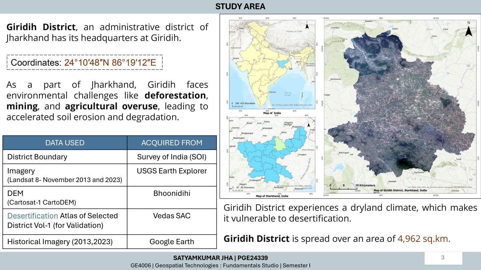
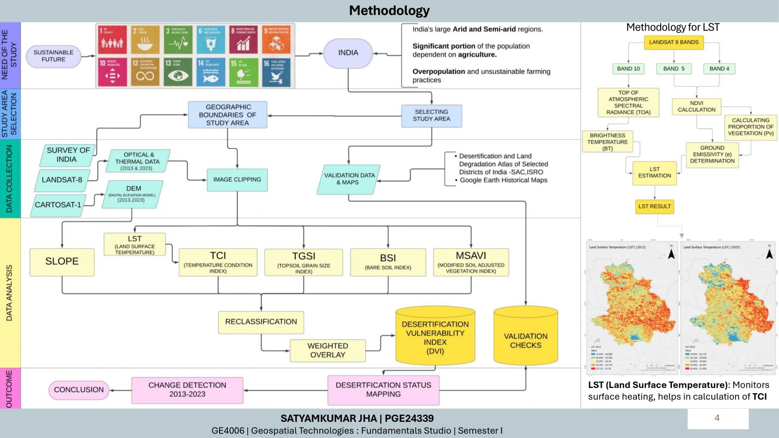
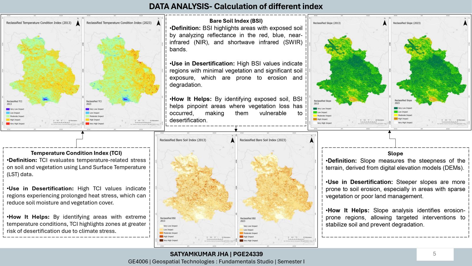
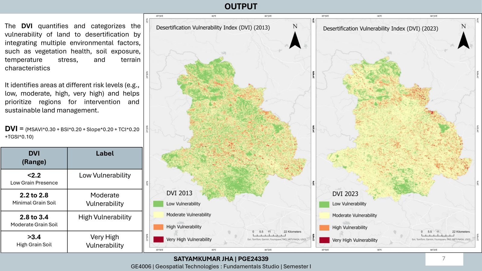
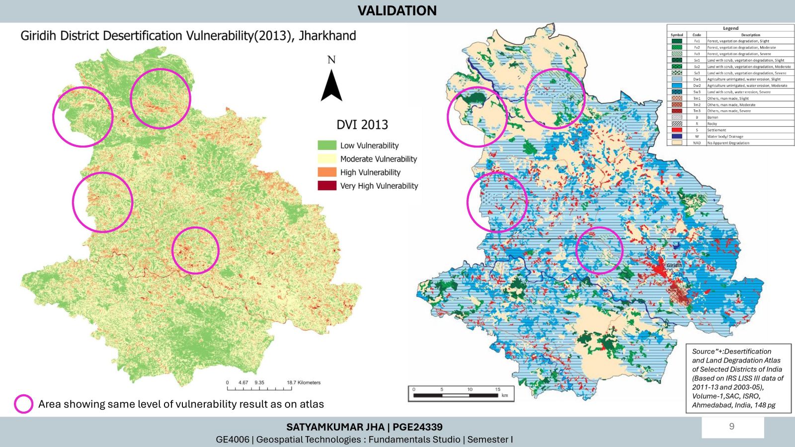
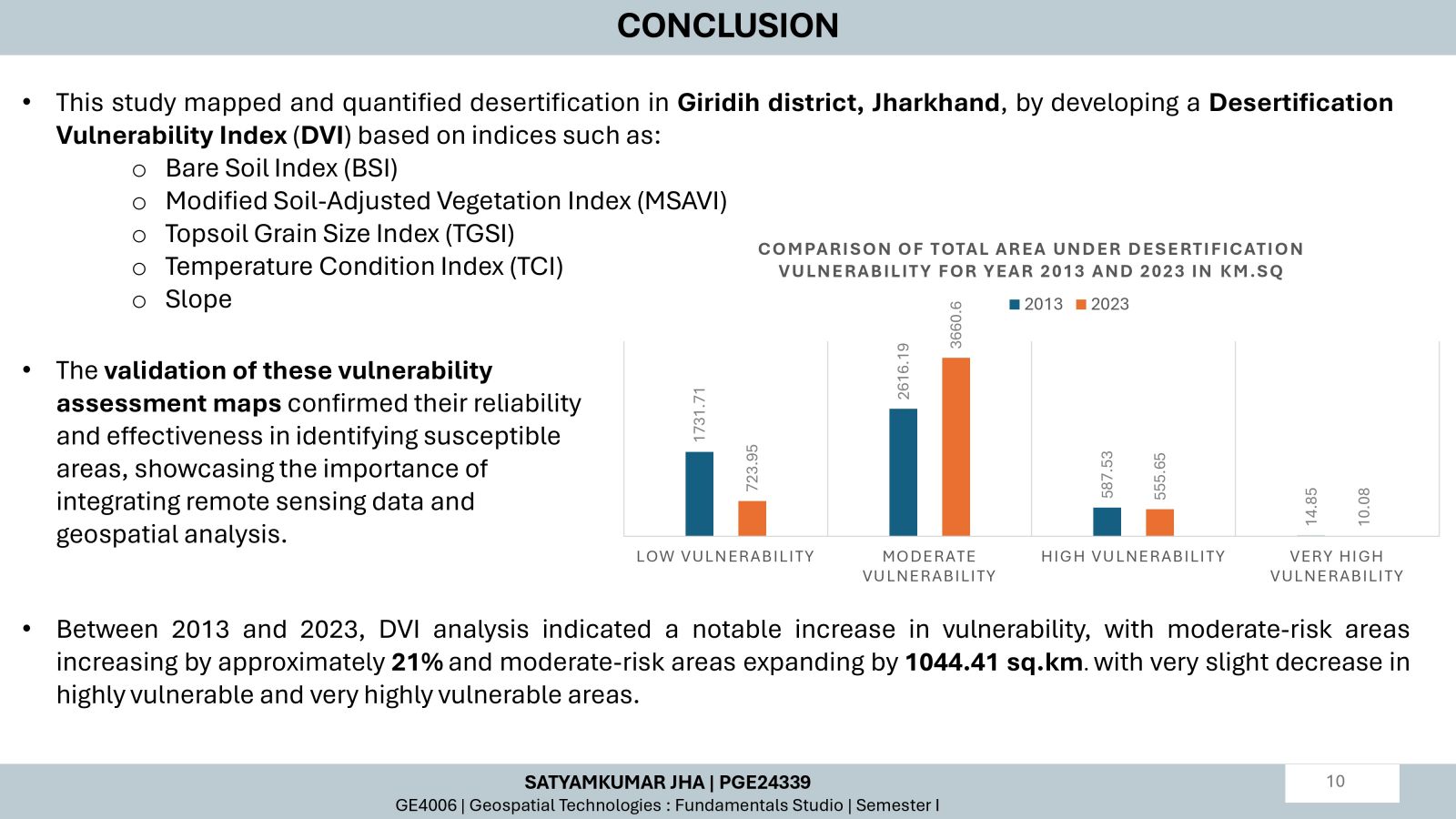
Desertification, the degradation of land in arid, semi-arid, and dry sub-humid regions driven by climatic and human factors, poses an urgent threat to agriculture, biodiversity, and livelihoods, particularly in vulnerable regions. This project addresses this critical issue by evaluating desertification vulnerability in Giridih, Jharkhand, using remote sensing and GIS. A Desertification Vulnerability Index (DVI) was developed through weighted overlay analysis of indices like BSI, MSAVI, TGSI, Slope, and TCI. Comparative analysis of DVI maps from 2013 and 2023 revealed alarming trends of intensification in vulnerable areas, with some recovery. Validation with SAC, ISRO’s Desertification Atlas underscores the reliability of findings, providing actionable insights for targeted mitigation strategies to curb further degradation.
