Your browser is out-of-date!
For a richer surfing experience on our website, please update your browser. Update my browser now!
For a richer surfing experience on our website, please update your browser. Update my browser now!
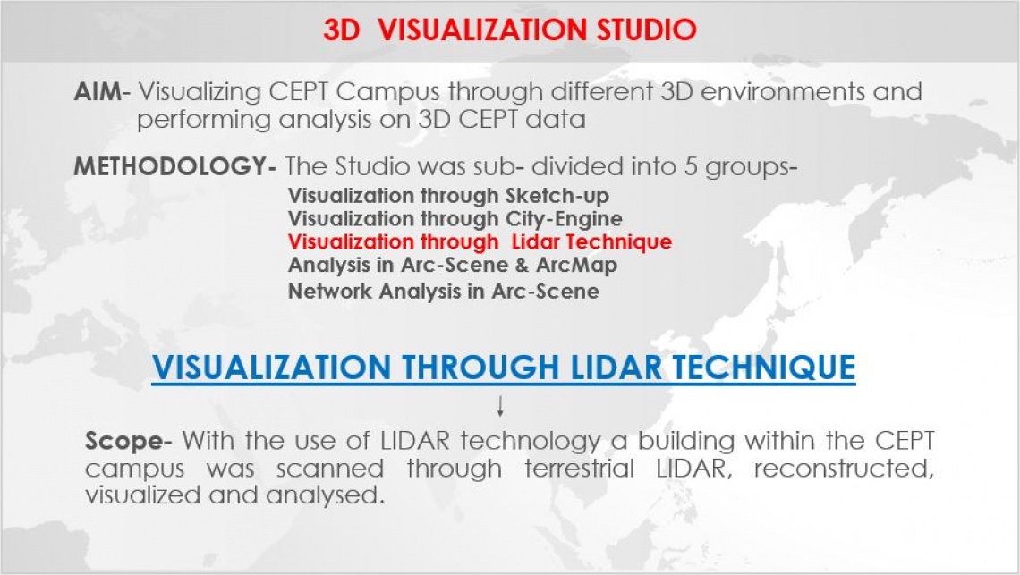
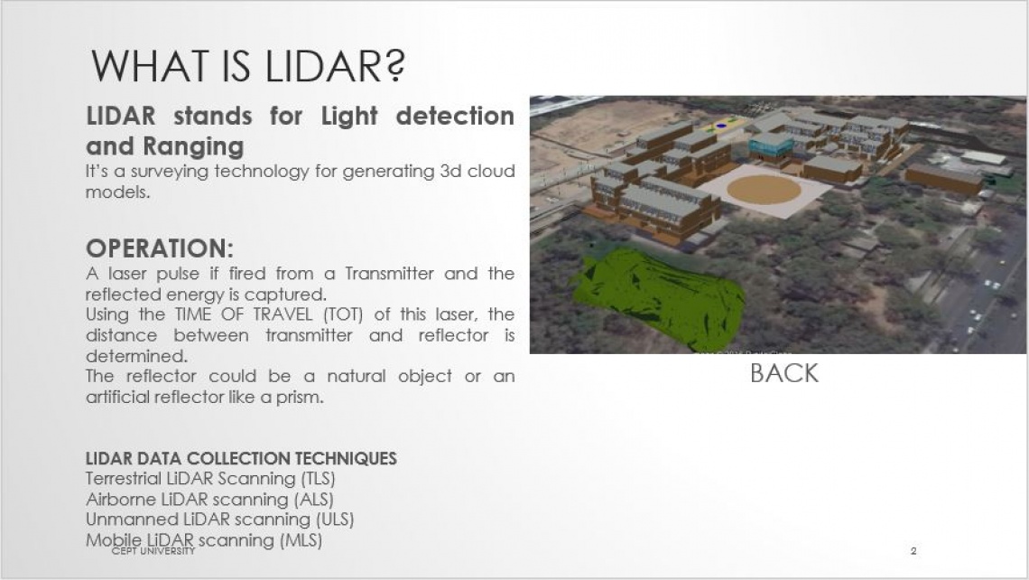
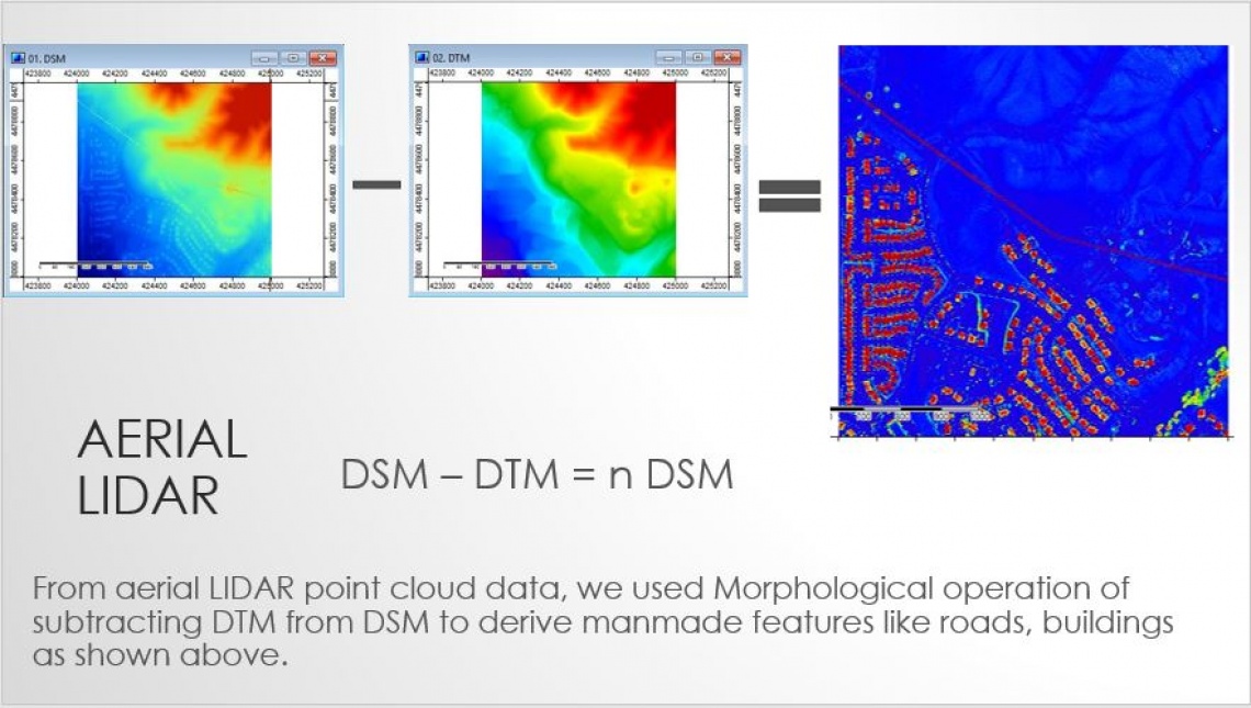
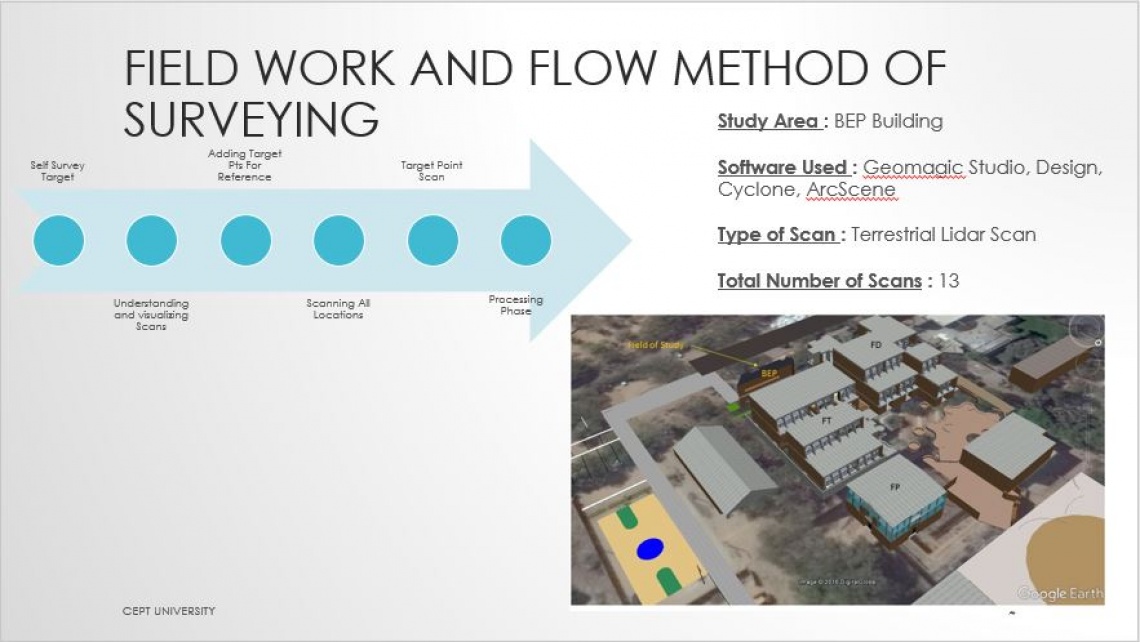
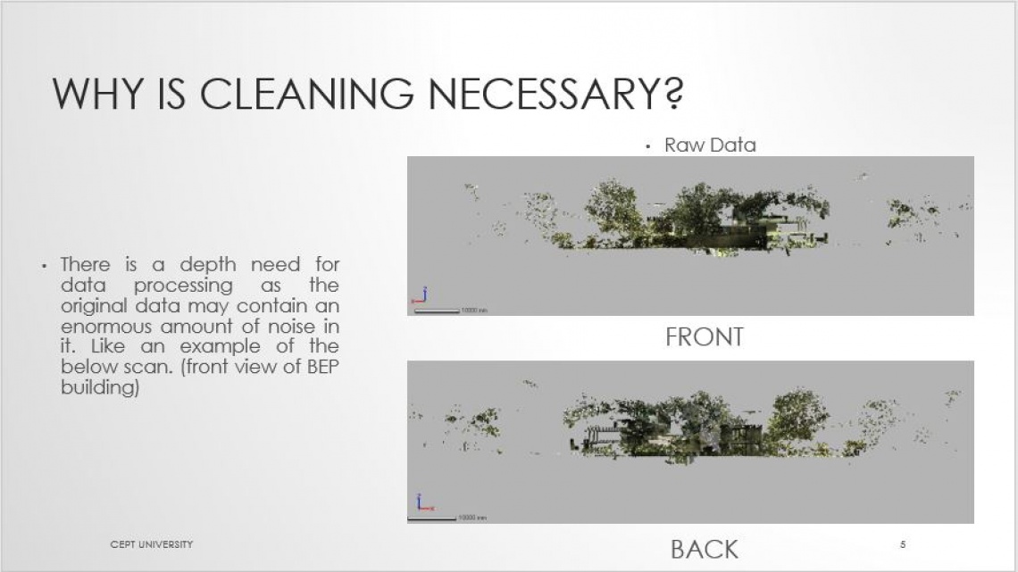
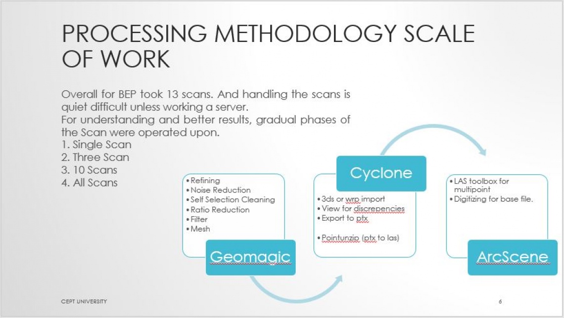
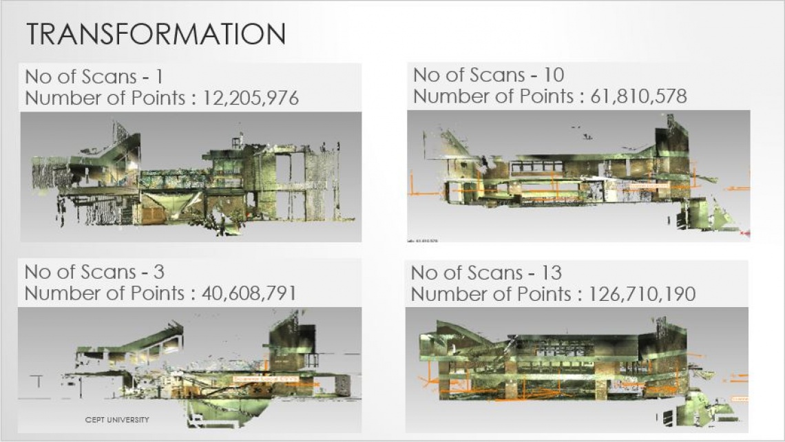
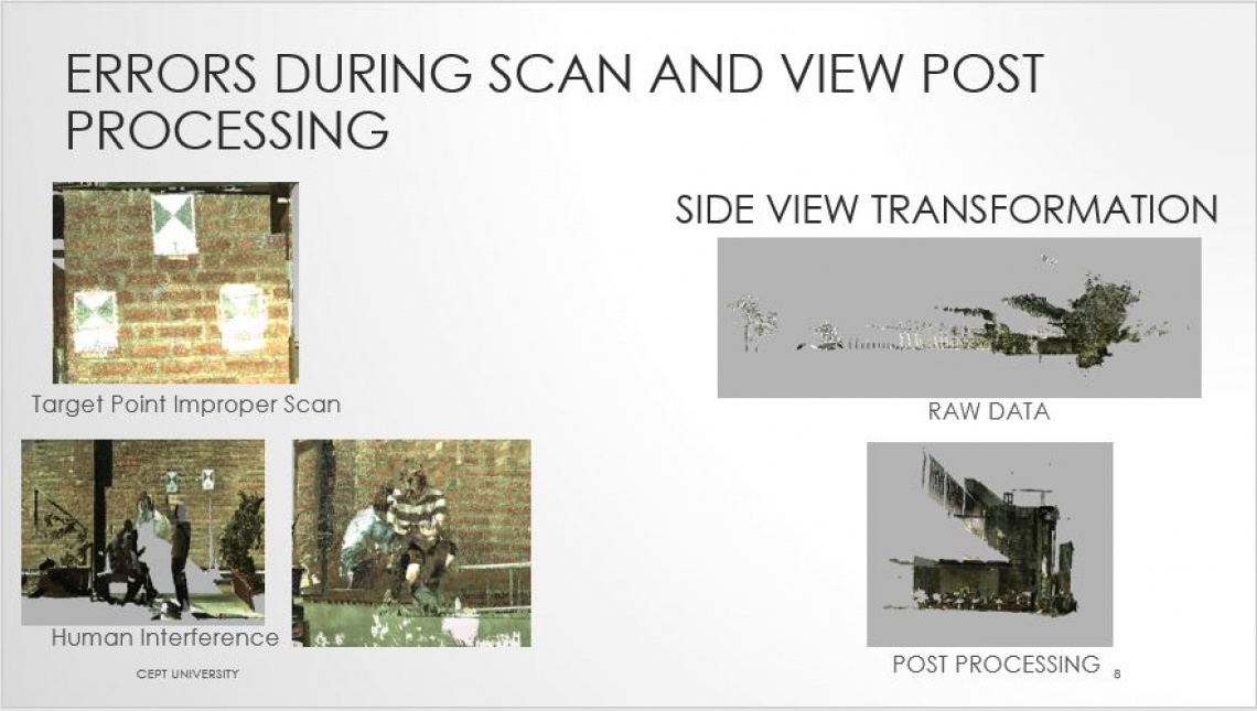
Obtaining man made features data from Aerial LIDAR and practical usage of terrestrial LIDAR for visualizing CEPT Campus through different 3D environments and performing analysis on 3D CEPT data. With the use of LIDAR technology, a building within the CEPT campus was scanned through terrestrial LIDAR, reconstructed, visualized and analysed.