Your browser is out-of-date!
For a richer surfing experience on our website, please update your browser. Update my browser now!
For a richer surfing experience on our website, please update your browser. Update my browser now!
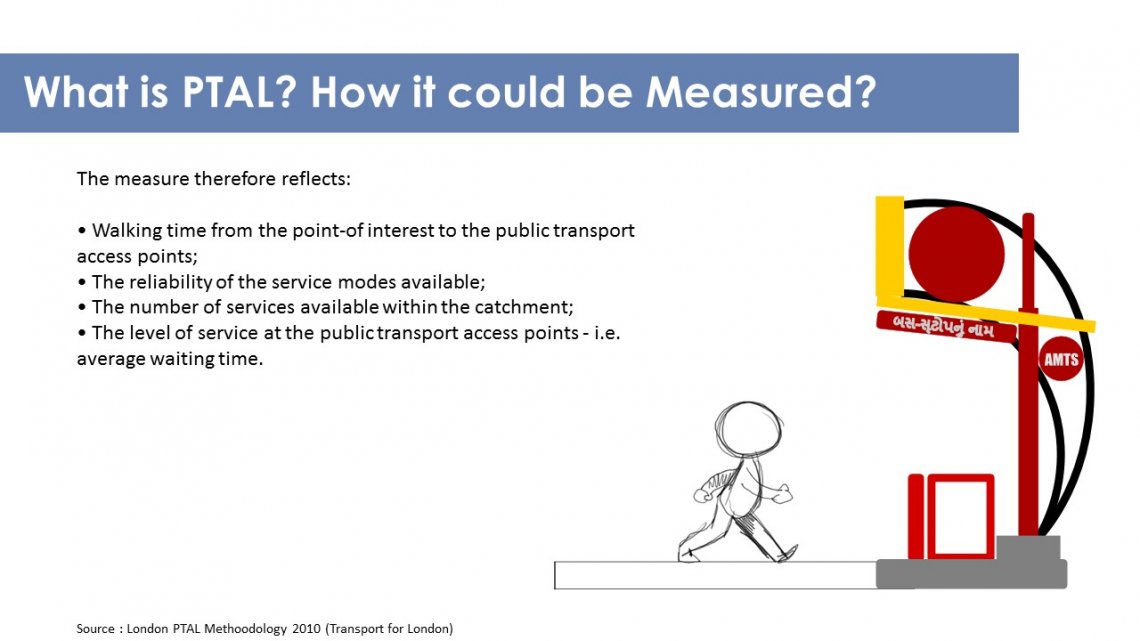
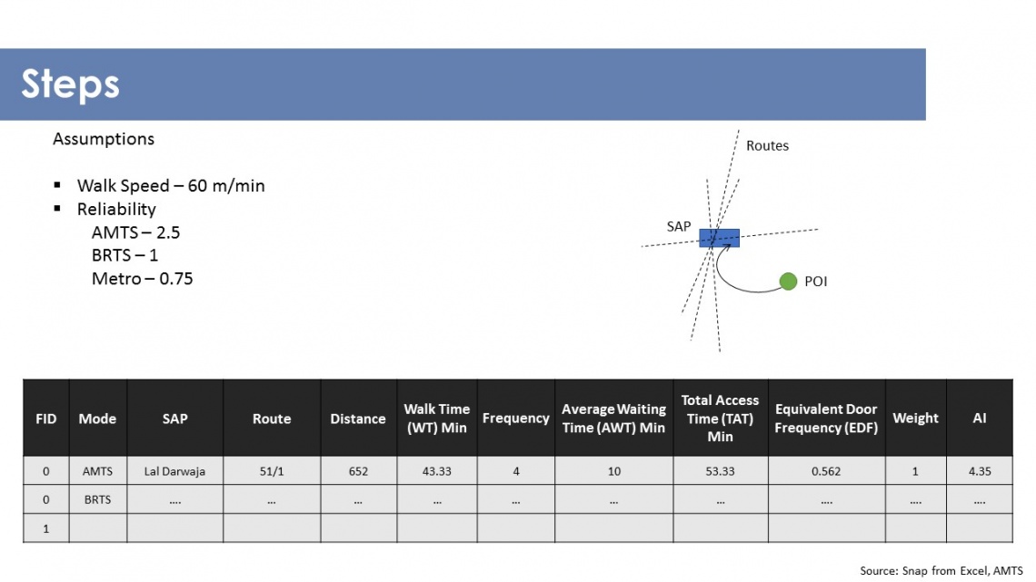
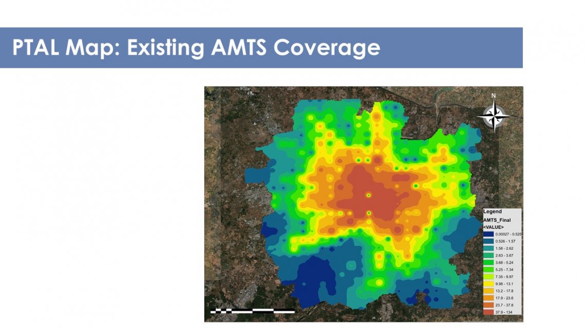
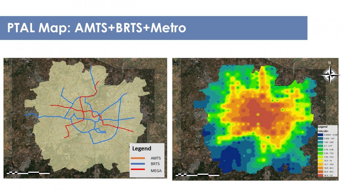
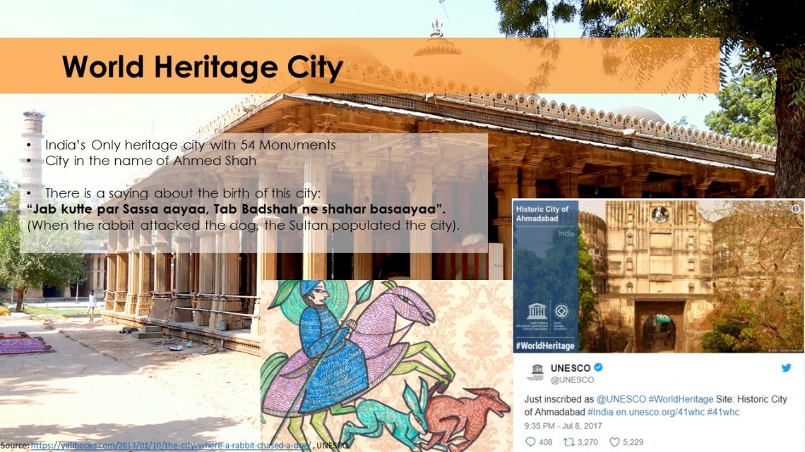
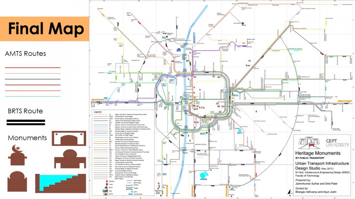
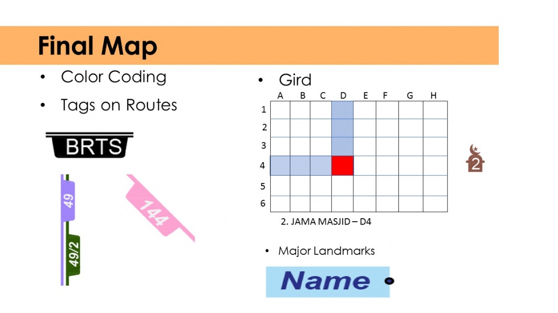
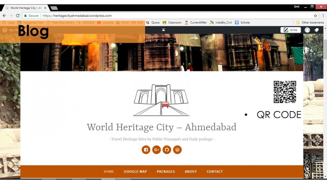
This project divided into two parts. The first part shows how public existing public transport AMTS, BRTS, Metro accessible for people in Ahmedabad. Public Transport accessibility level (PTAL) with help of GIS tools give a better picture for results. The second part shows public transport map for Heritage sites as Ahmedabad Declared as 1st heritage city of Ahmedabad. A blog which helps in the understanding importance of Heritage City with Google map. Click here.