Your browser is out-of-date!
For a richer surfing experience on our website, please update your browser. Update my browser now!
For a richer surfing experience on our website, please update your browser. Update my browser now!
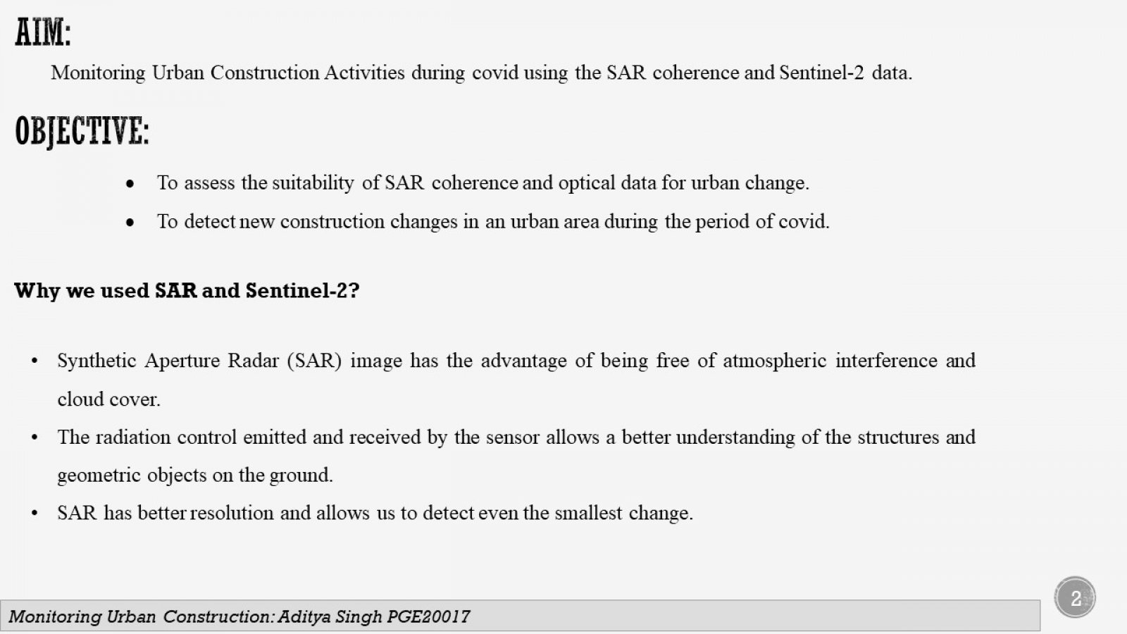
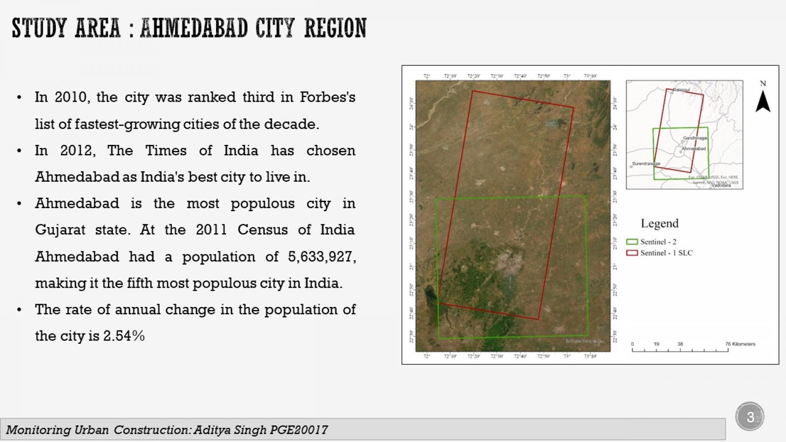
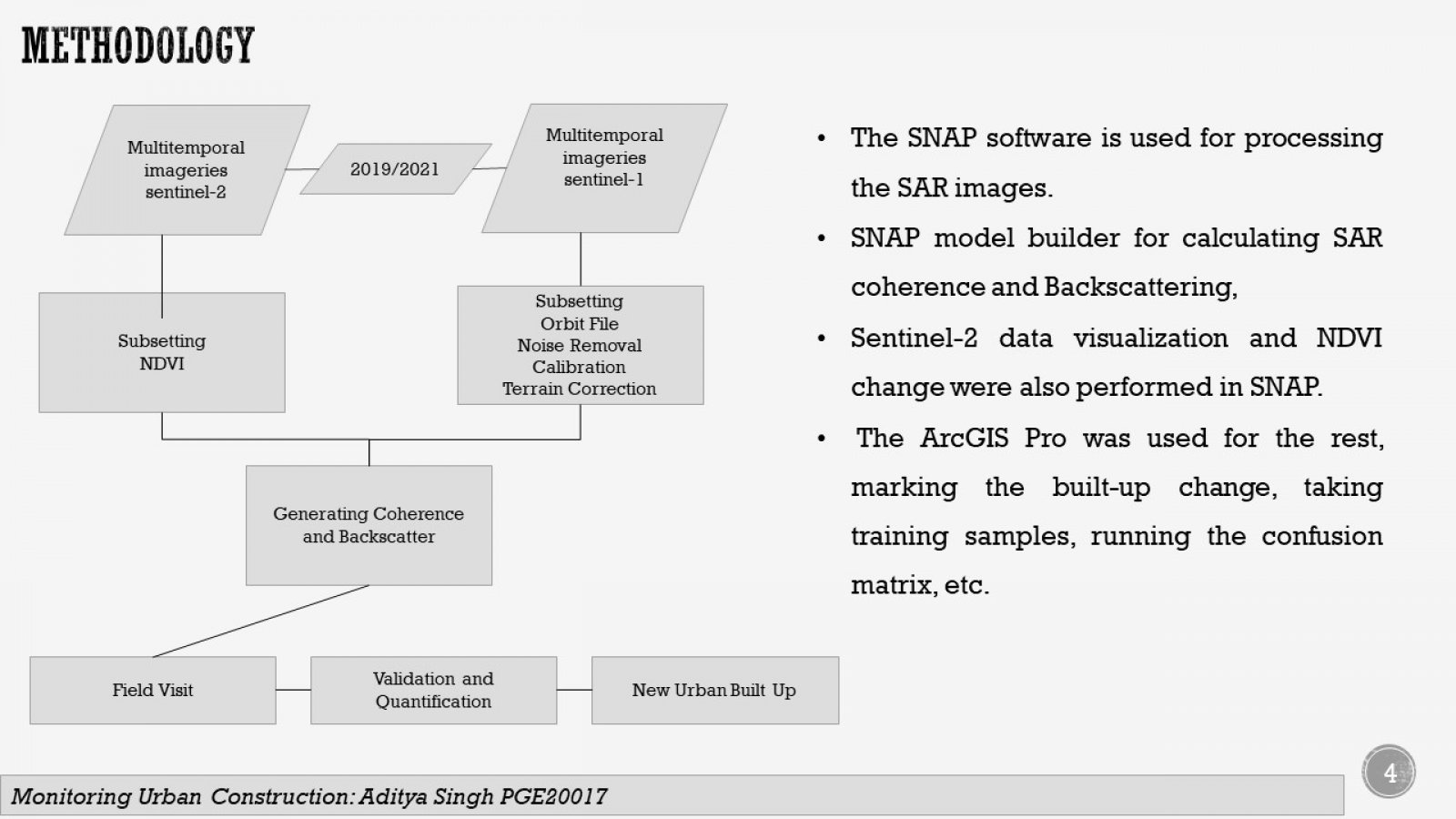
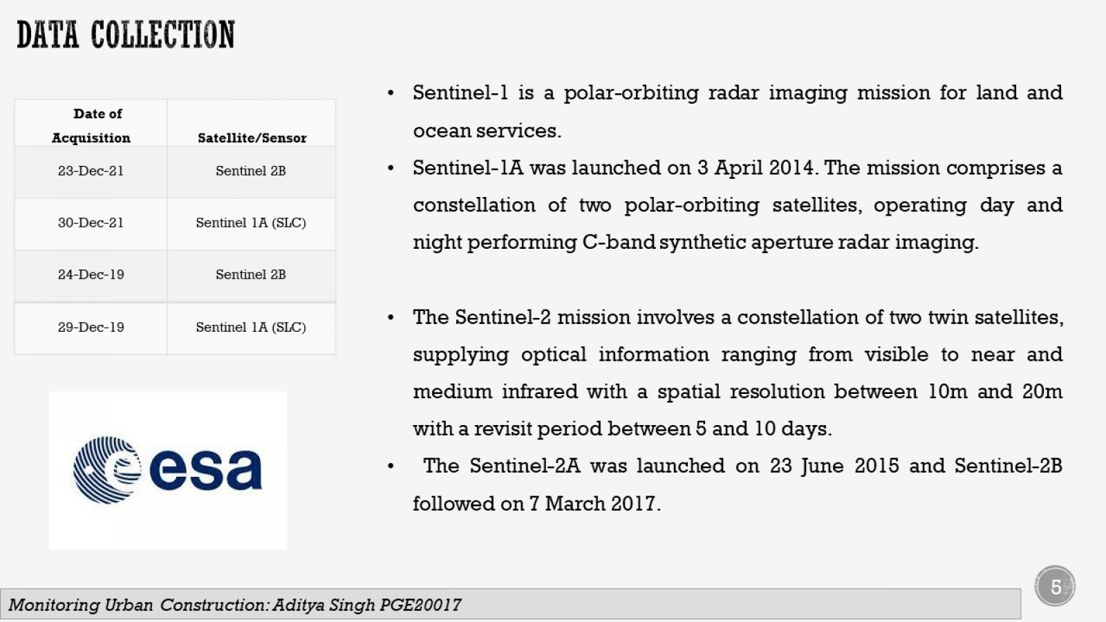
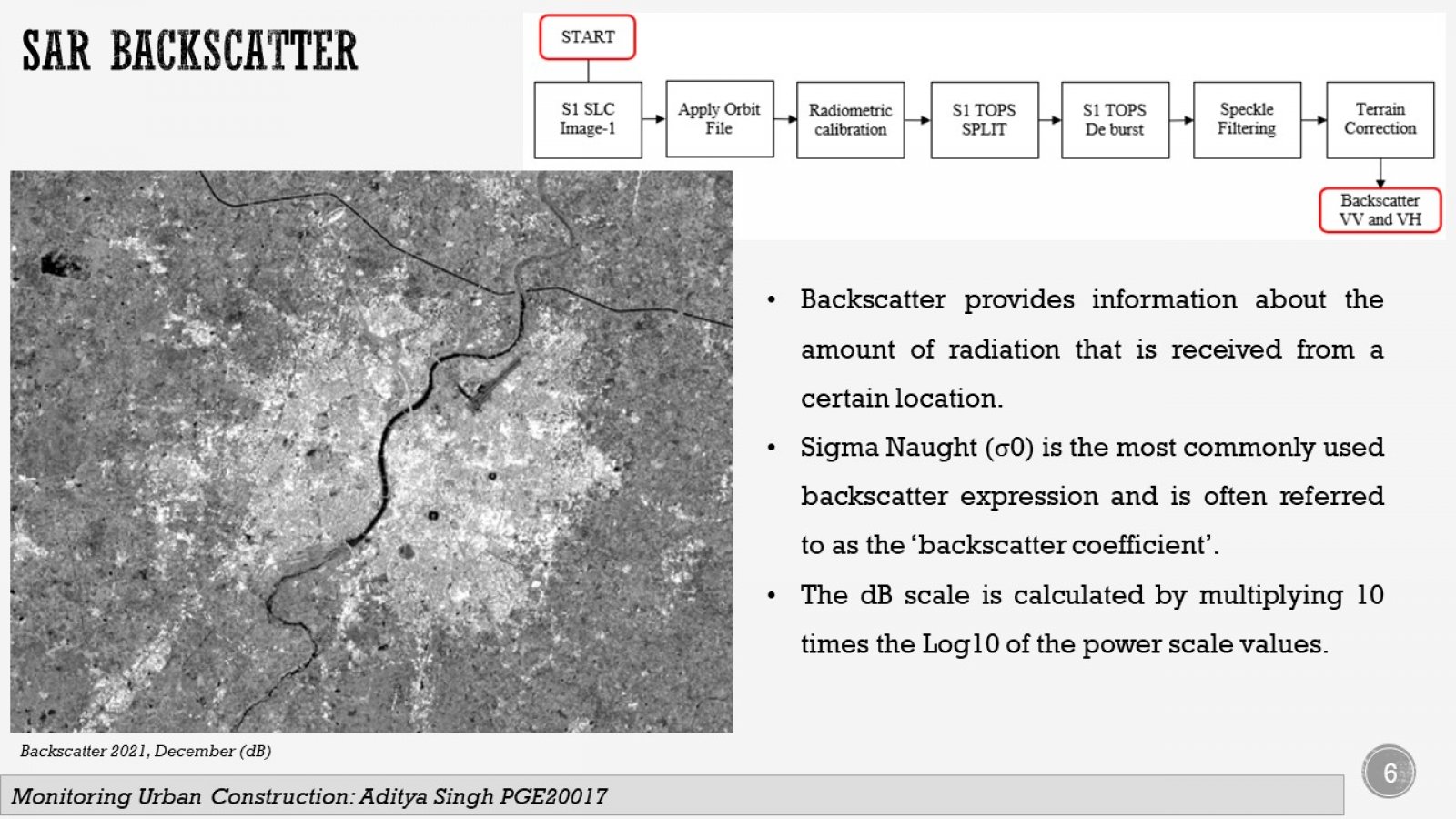
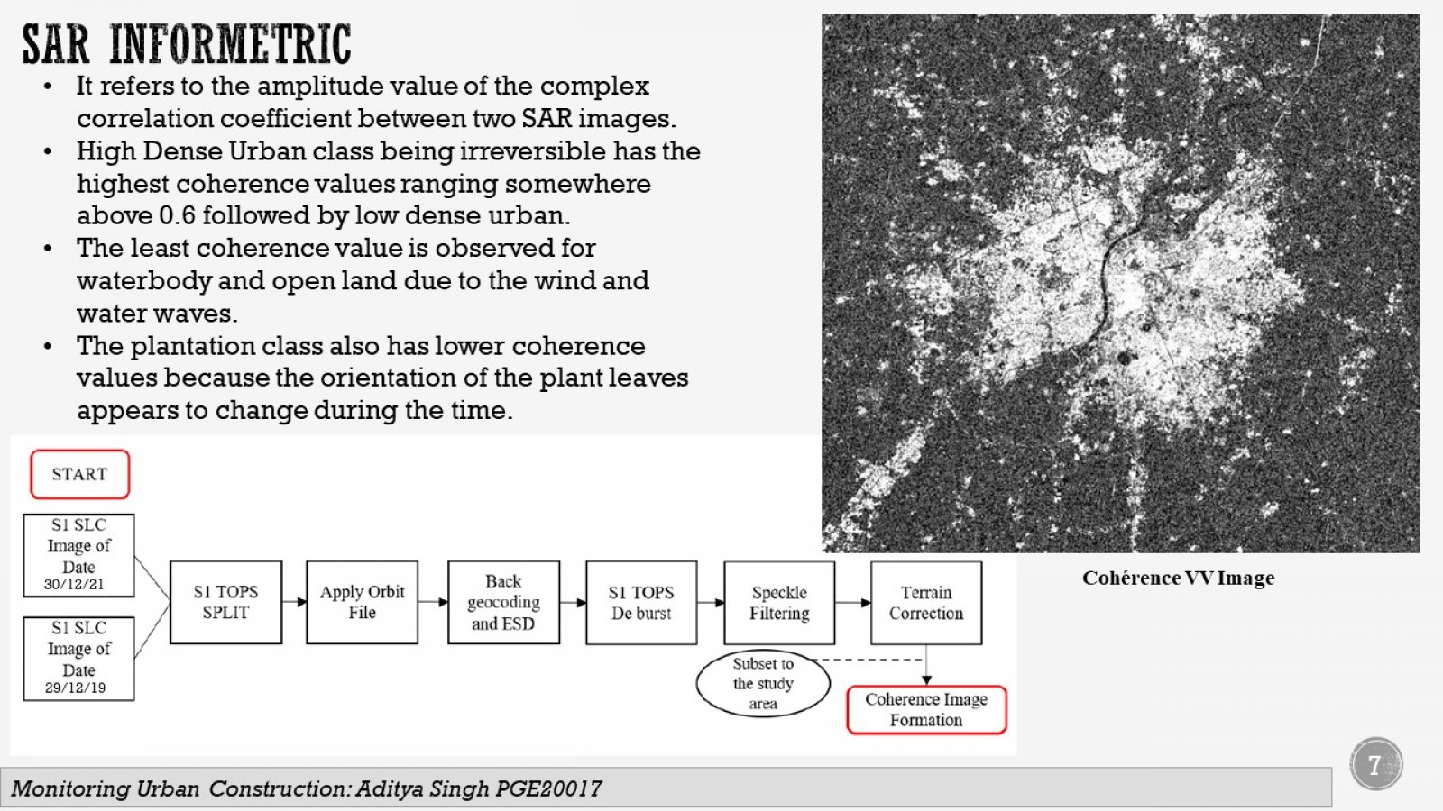
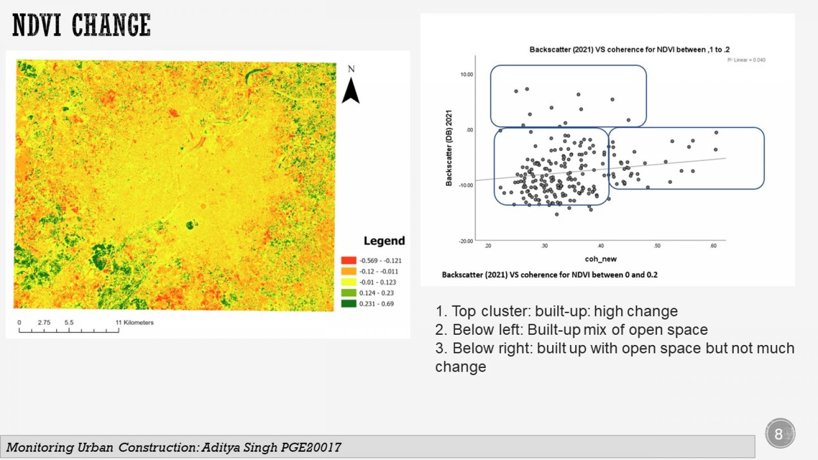
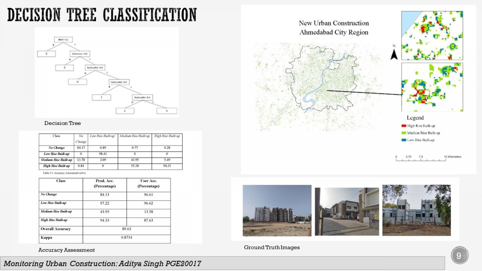
Remote Sensing data has investing urban change since mid of the 1950s. The SAR coherence and Optical data have been investigated to identify new urban built-ups. Sentinel-1 SLC has been used for interferometric analysis, and Sentinel-2 has been used for identification and reference. The relationship between SAR Backscatter, Coherence, and NDVI has been established to find the optimum threshold for new urban change detection. The decision tree classification technique has been used to identify new urban construction in the Ahmedabad city during the COVID period.
