Your browser is out-of-date!
For a richer surfing experience on our website, please update your browser. Update my browser now!
For a richer surfing experience on our website, please update your browser. Update my browser now!
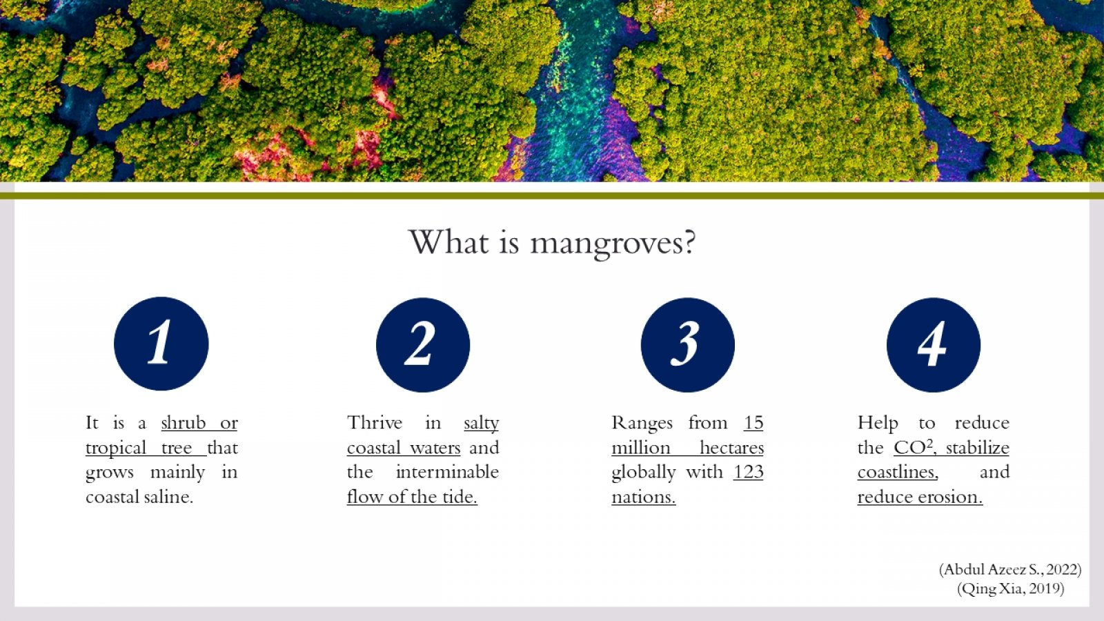
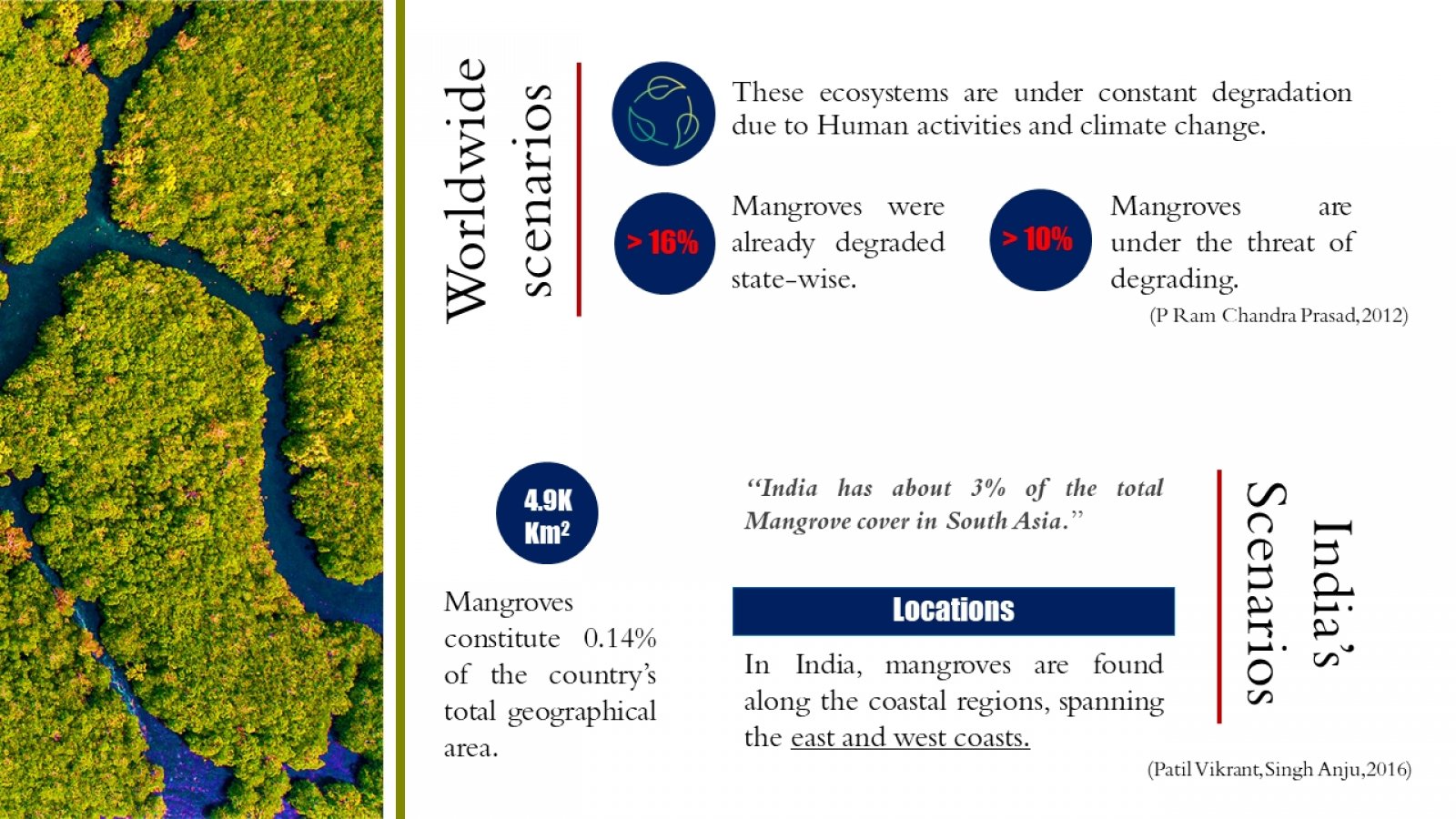
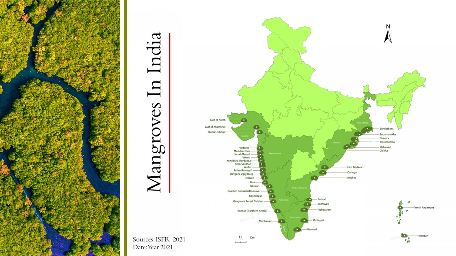
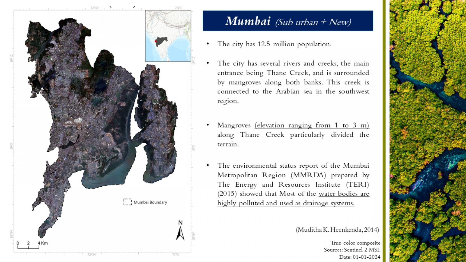
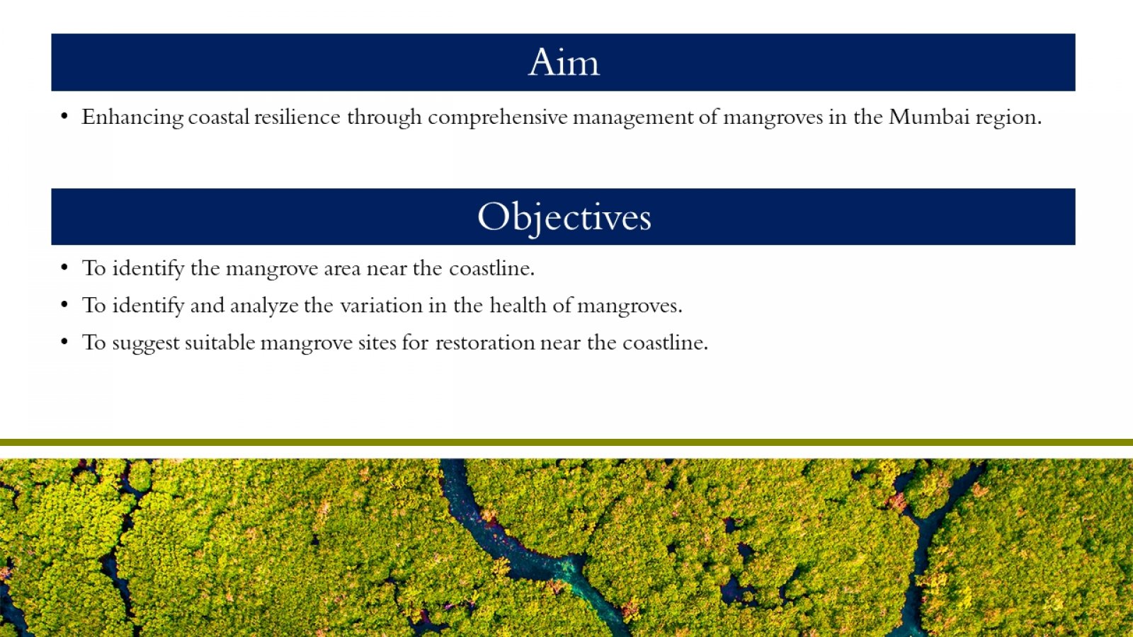
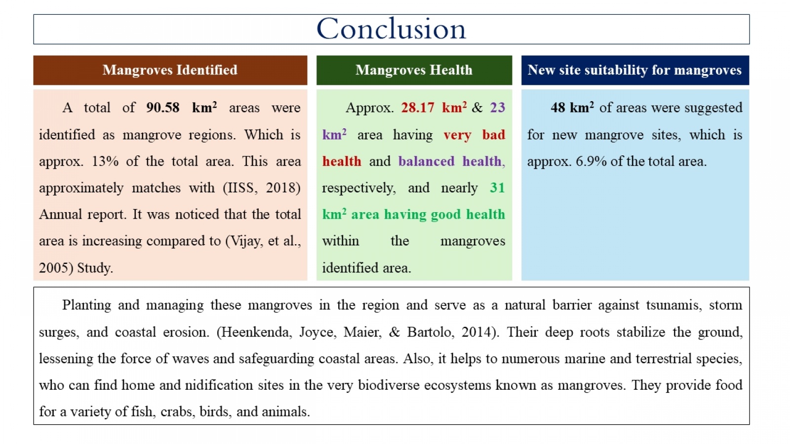
The world's most productive ecosystem, mangrove forests, is a diverse collection of salt-tolerant plant communities in tropical and subtropical intertidal zones. It ranges from 15 million hectares globally, with 123 nations and territories in tropical and subtropical regions. Mangroves serve as a shoreline's natural barrier against ocean dynamics. However, due to human activities near the sea-sore area and other reasons, 35% of the world's mangrove forests were lost over the past two decades of the 20th century. The study focuses on mangrove management in the Mumbai region. The study mainly emphasizes utilizing remote sensing data for mangrove monitoring. Global acquisition of a multispectral satellite of sentinel-2 with high temporal, spectral, and spatial resolution is possible, providing an opportunity to monitor mangroves more consistently and regularly and using this satellite imagery. The objectives of the study, which are to Identify, monitor, and recommend suitable sites for mangroves, were fulfilled by remote sensing.
