Your browser is out-of-date!
For a richer surfing experience on our website, please update your browser. Update my browser now!
For a richer surfing experience on our website, please update your browser. Update my browser now!
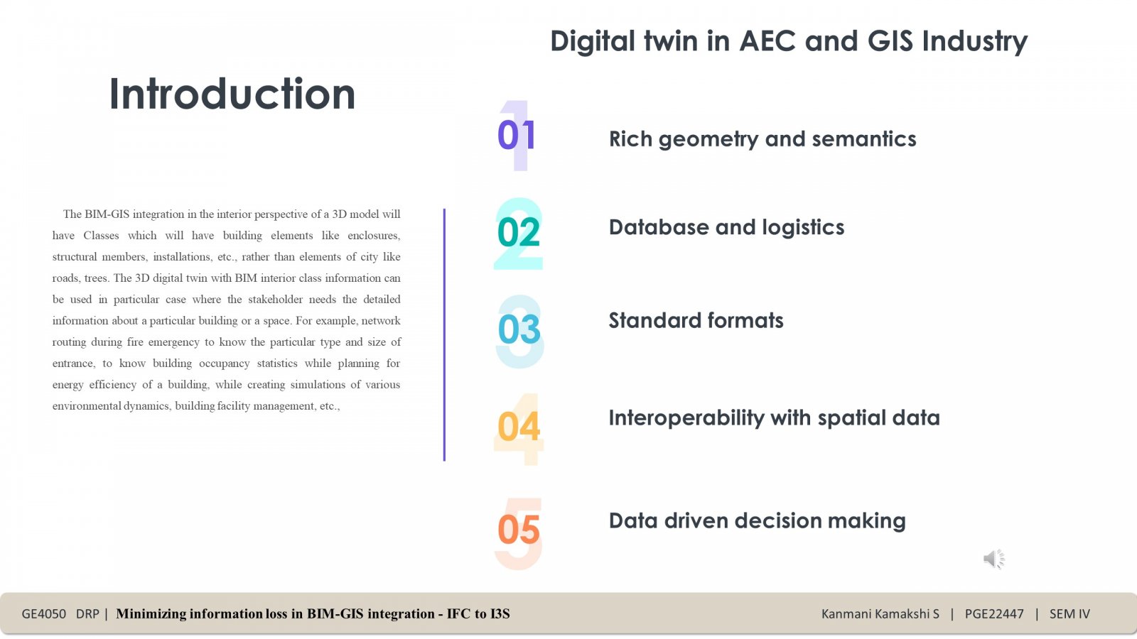
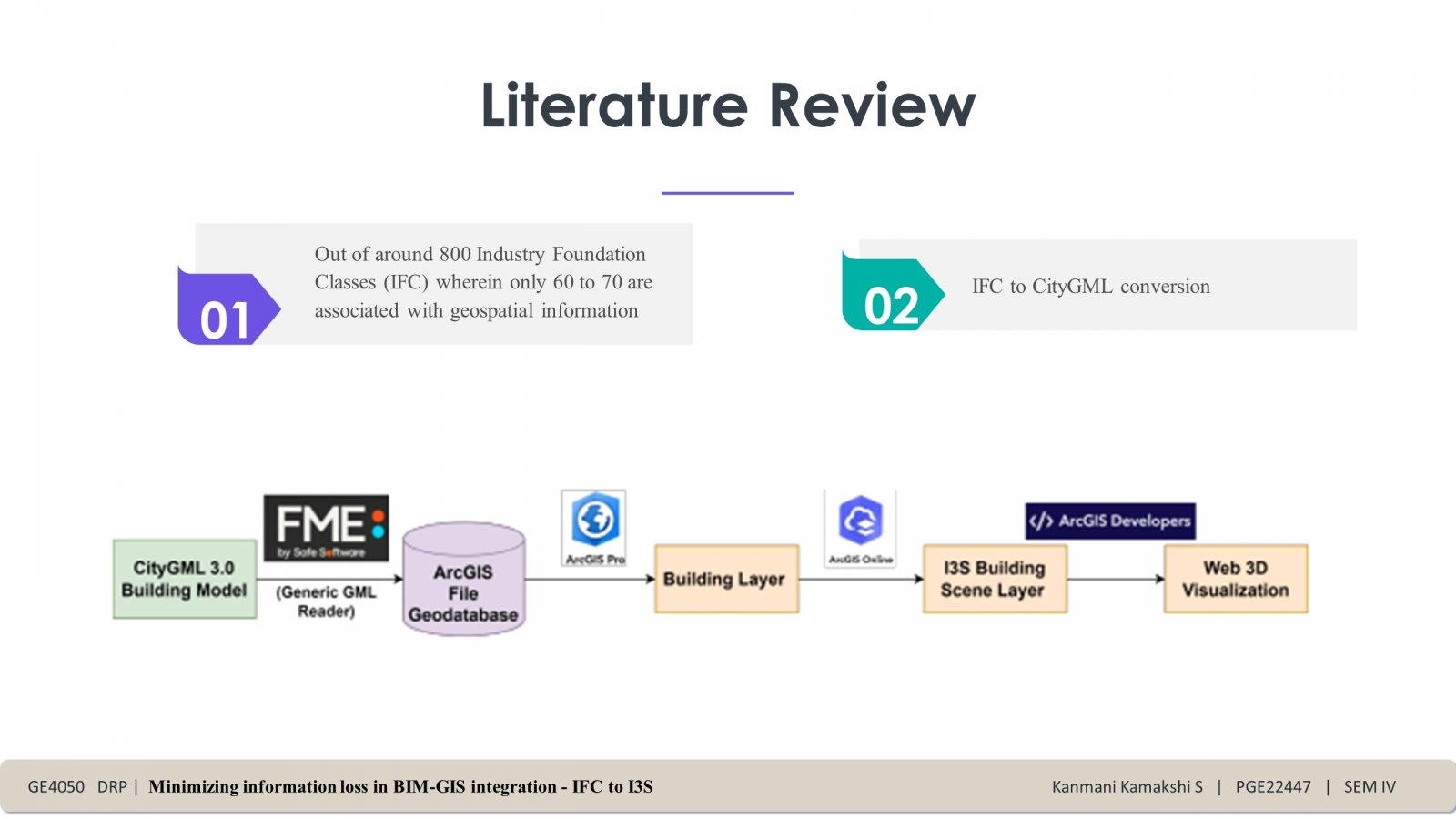
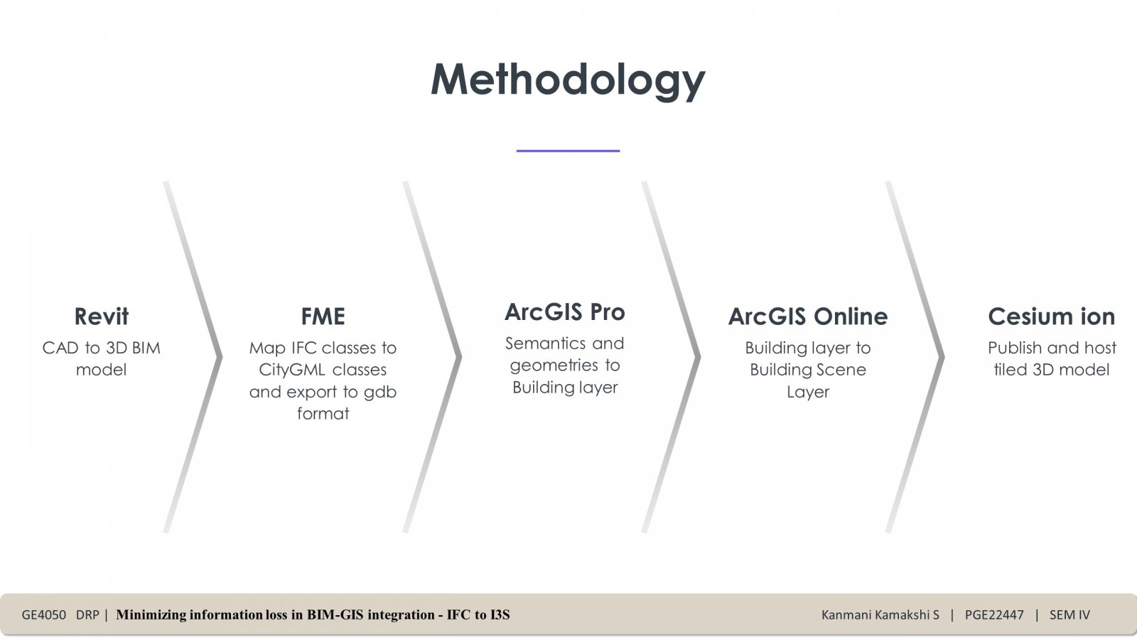
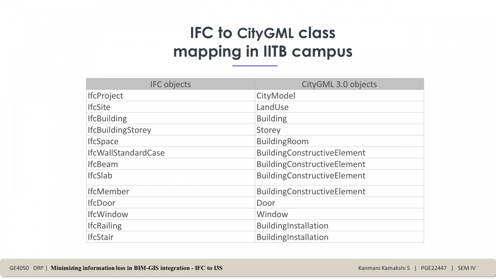
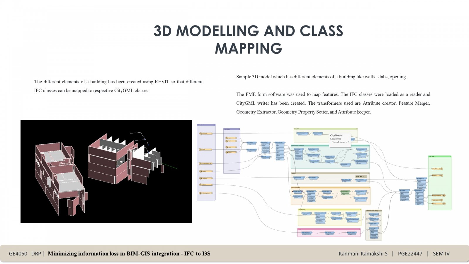
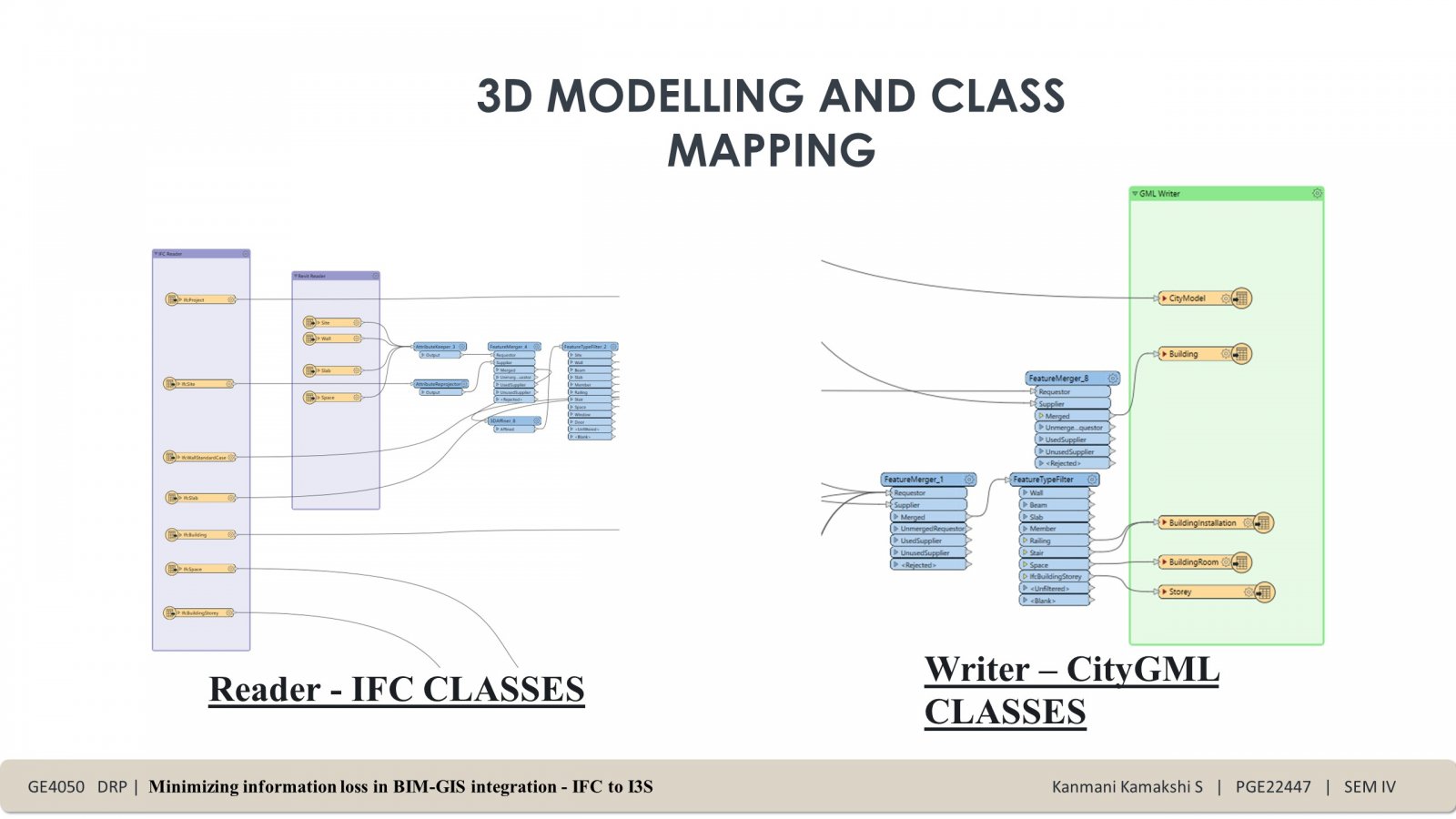
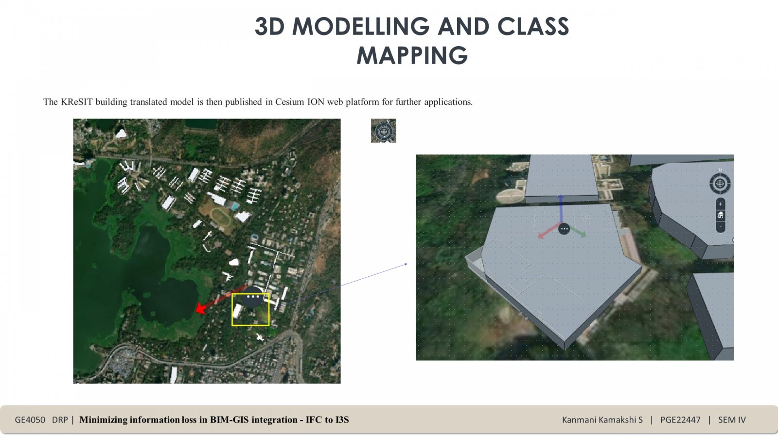
This project involves integration of BIM and GIS, which is vital for a Digital Twin. BIM holds detailed data in IFC classes, but some geospatial information gets lost when integrated with CityGML. A generic mapping method is being studied to retain most BIM classes in CityGML using FME Form software. CityGML can then be convert to an I3S Building Scene Layer for 3D city models preserving interior details.
