Your browser is out-of-date!
For a richer surfing experience on our website, please update your browser. Update my browser now!
For a richer surfing experience on our website, please update your browser. Update my browser now!
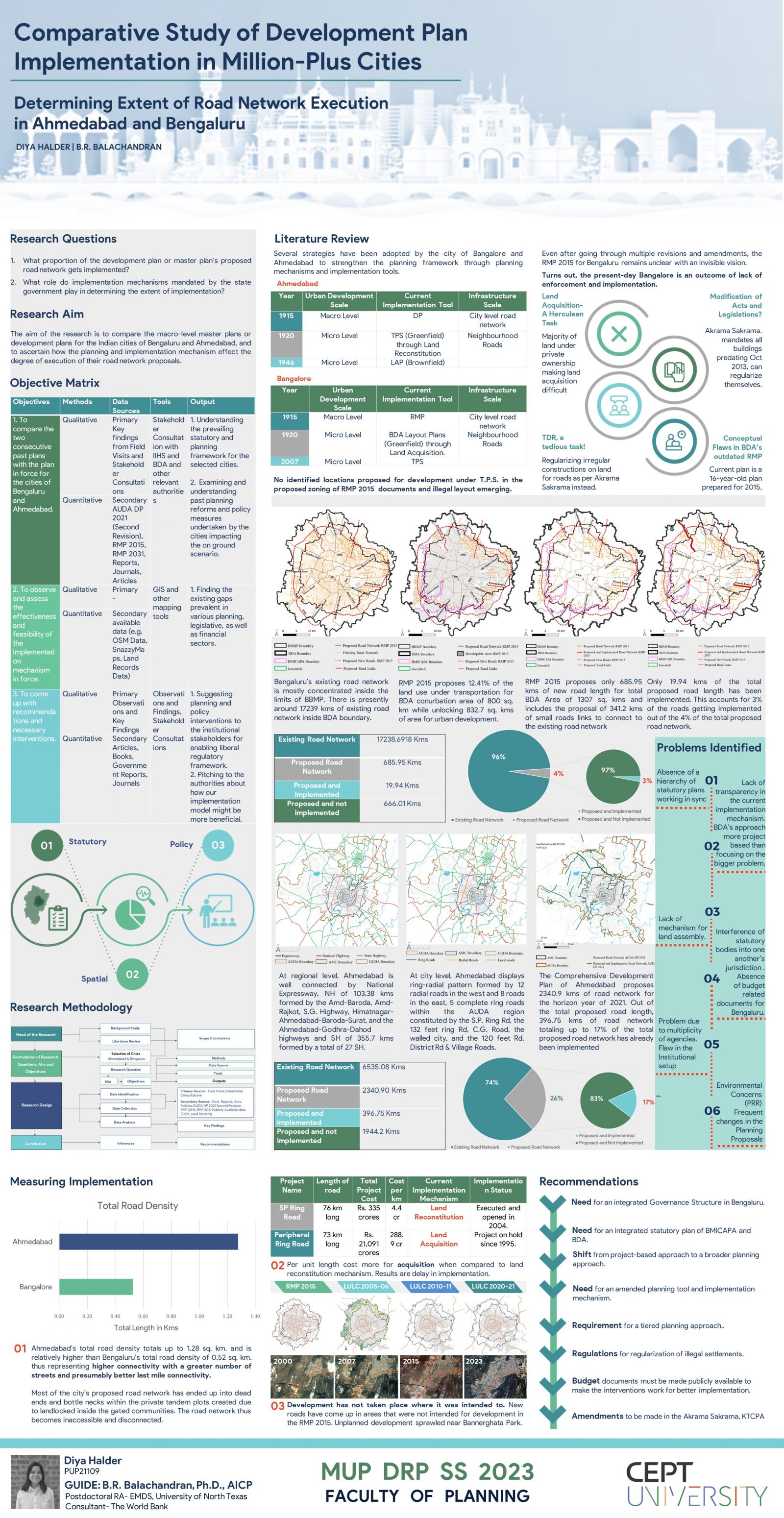
Spatial Planning is often linked with land use and regulations but one aspect that often gets overlooked is the need for integrating this land use with transportation. The street layout of a community dictates the effectiveness of upcoming transportation system (Calthorpe, 1999). As per the New Urbanism Communities, an ideal transportation planning must develop a decent walkable grid of connected and complete road network system providing flexibility to the users with a public transit mode of their choice, encourage people to walk and use public transport thus in turn reducing the dependency of public on automobiles. Planning with a focus on complete road network and the road density makes the nexus of road network available for delivery of services as well as infrastructure in the future and reduce local traffic problems, conserve energy, and improve air quality (Kulash W, 2000). The cities keep undergoing significant transformations and come up with innovative micro planning and macro planning strategies through statutory development and master plans to enable enough infrastructure provision for future expansion. Yet, majority of the Indian cities struggle to enforce the spatial planning structure on-ground. The statutory development plans or master plans only designate 15% to 20% of the area to roads, and somewhere these cities fail to execute that as well. Cities continue to advocate for a mix of land uses in proposed statutory plans and regulations to increase connectivity and mobility. But how could they ever realize their far-fetched ‘visions’ if they are unable to put into place the fundamental road network that has been proposed for decades?
