Your browser is out-of-date!
For a richer surfing experience on our website, please update your browser. Update my browser now!
For a richer surfing experience on our website, please update your browser. Update my browser now!
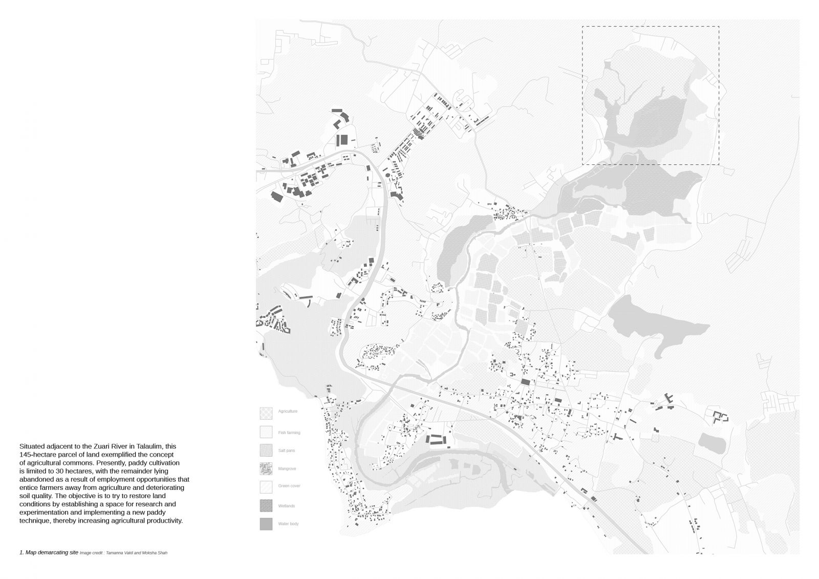
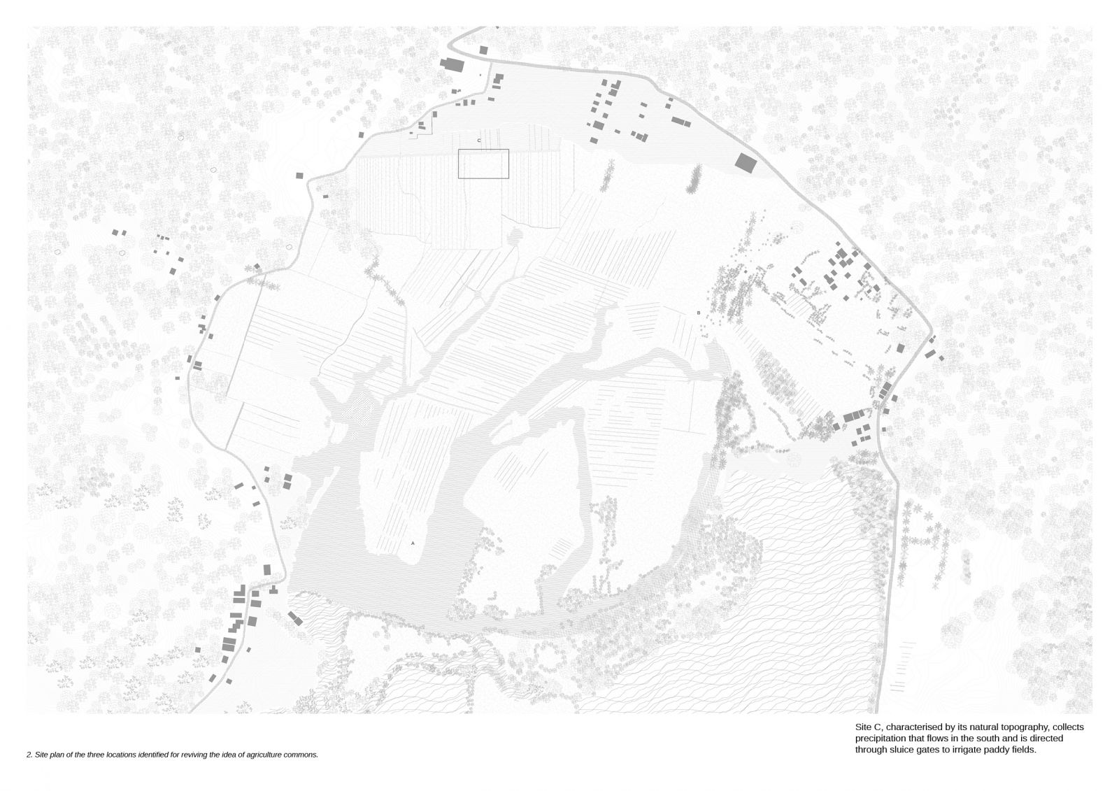
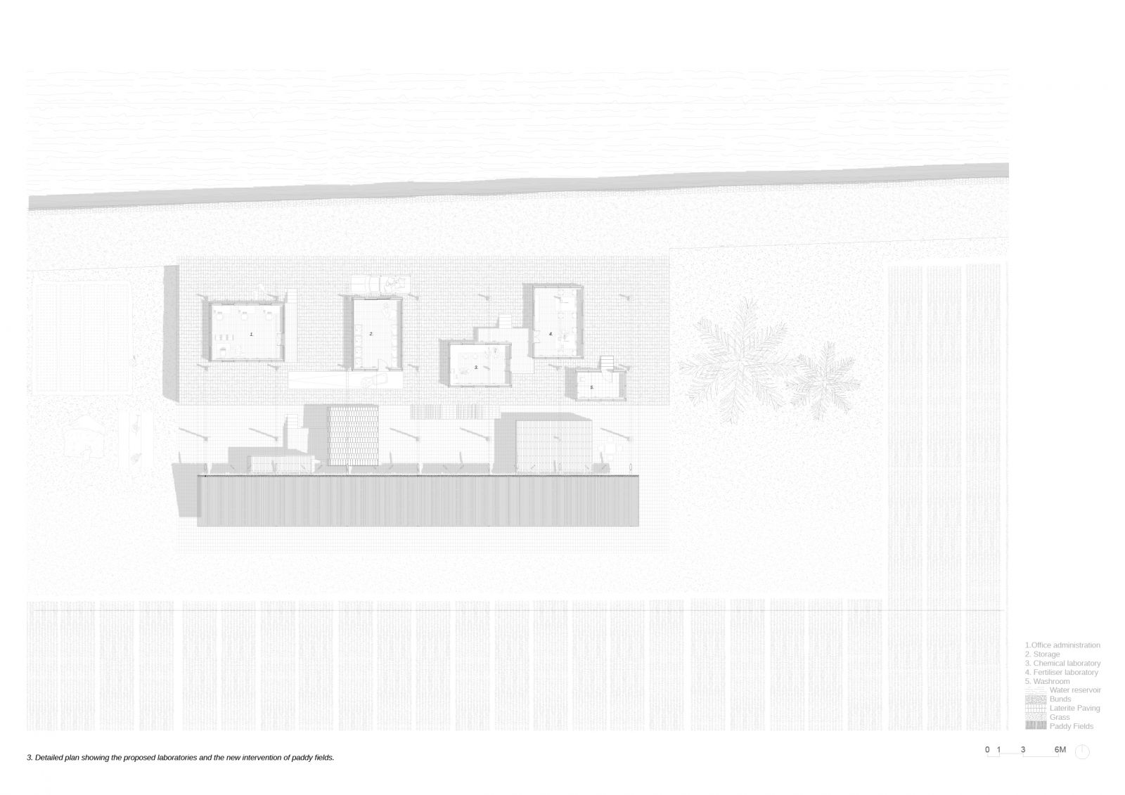
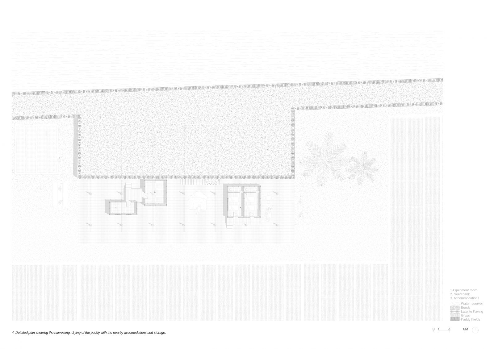
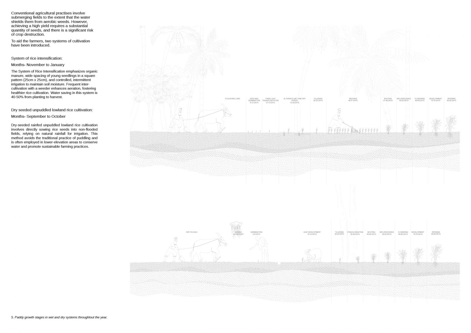
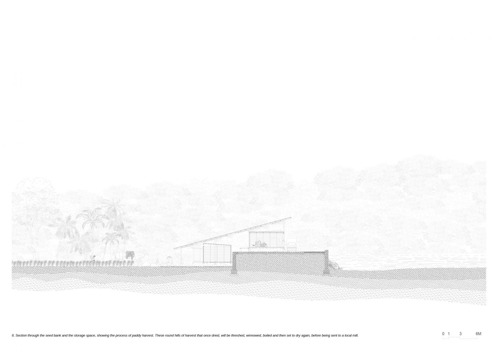
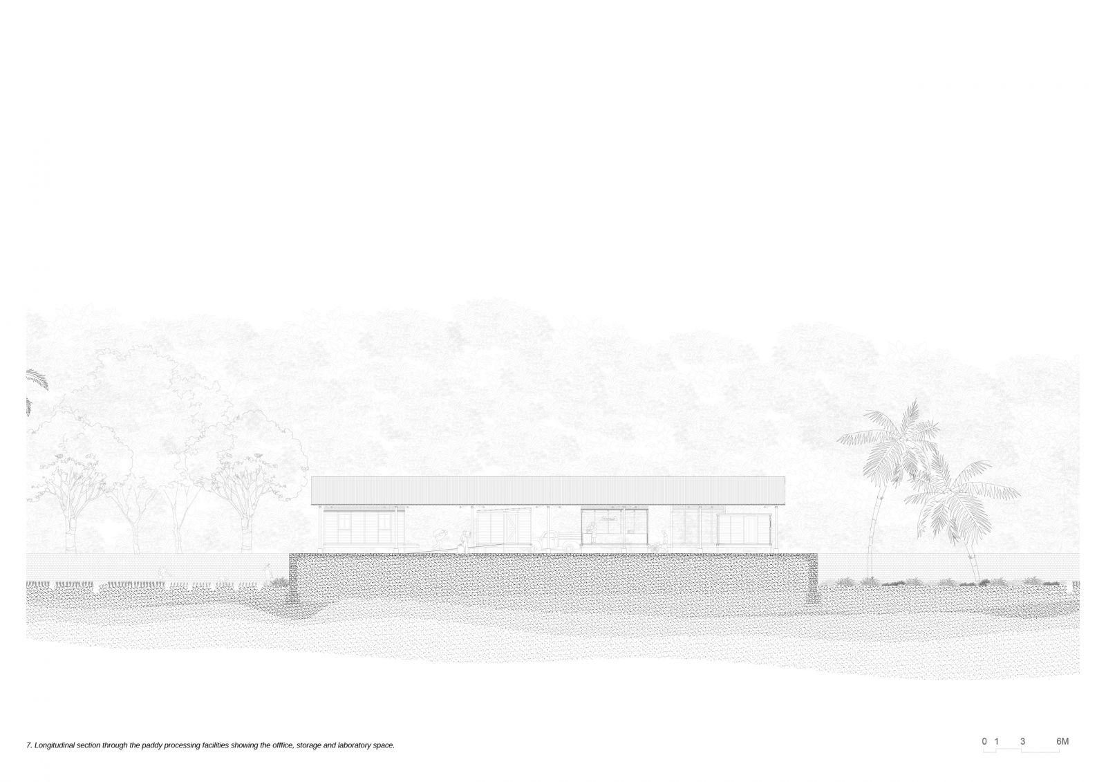
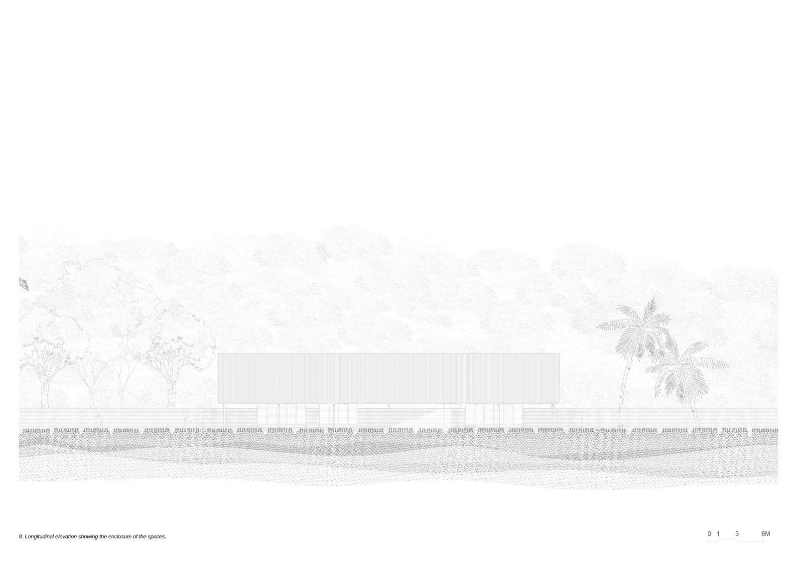
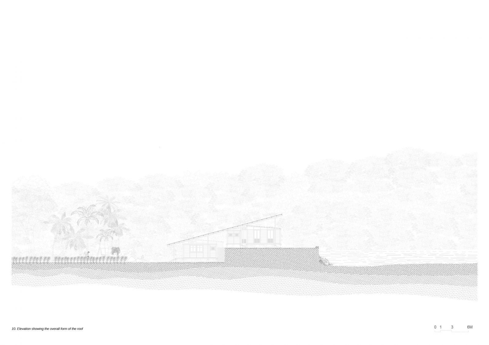
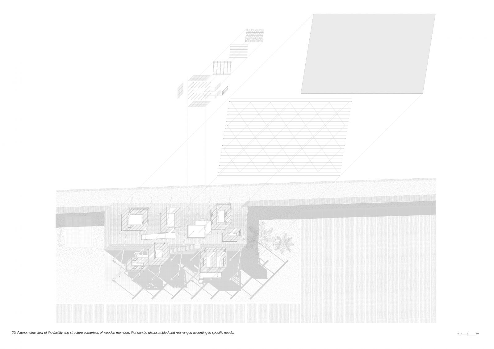
Goa is endowed with an intricate network of waterways, whereby estuaries and rivers link the ocean with the inland regions. Adjacent to the Zuari River, these low-lying regions in Talaulim were reclaimed to establish Khazans, communal spaces where land is available for cultivation by all, but not for commerce. As a result of the proliferation of mangroves in the area, the residents made the decision to partake in rice farming, pisciculture, and salt pan manufacturing. In order to facilitate the ingress of high-tide waters into the fields, the community constructed a network of embankments and installed sluice gates. As a result of the new, shifting terrains and reduced agricultural practises, these fields are becoming abandoned. The farmers are dispersed and cultivate specific fields for their particular needs. The purpose of introducing the research and experimentation centre is to eliminate this concern and reinstate the principles of the commons. By implementing a rice intensification system and dry-seeded rainfed unpuddled lowland rice cultivation techniques, the initiative aims to facilitate the distribution of rice, which serves as the primary food source for the population. In order to ensure that producers have a consistent supply of paddy, the system is operational year-round, despite fluctuations in precipitation. The establishment of the seed bank is intended to create an area where rice can be stored for an extended period of time.