Your browser is out-of-date!
For a richer surfing experience on our website, please update your browser. Update my browser now!
For a richer surfing experience on our website, please update your browser. Update my browser now!
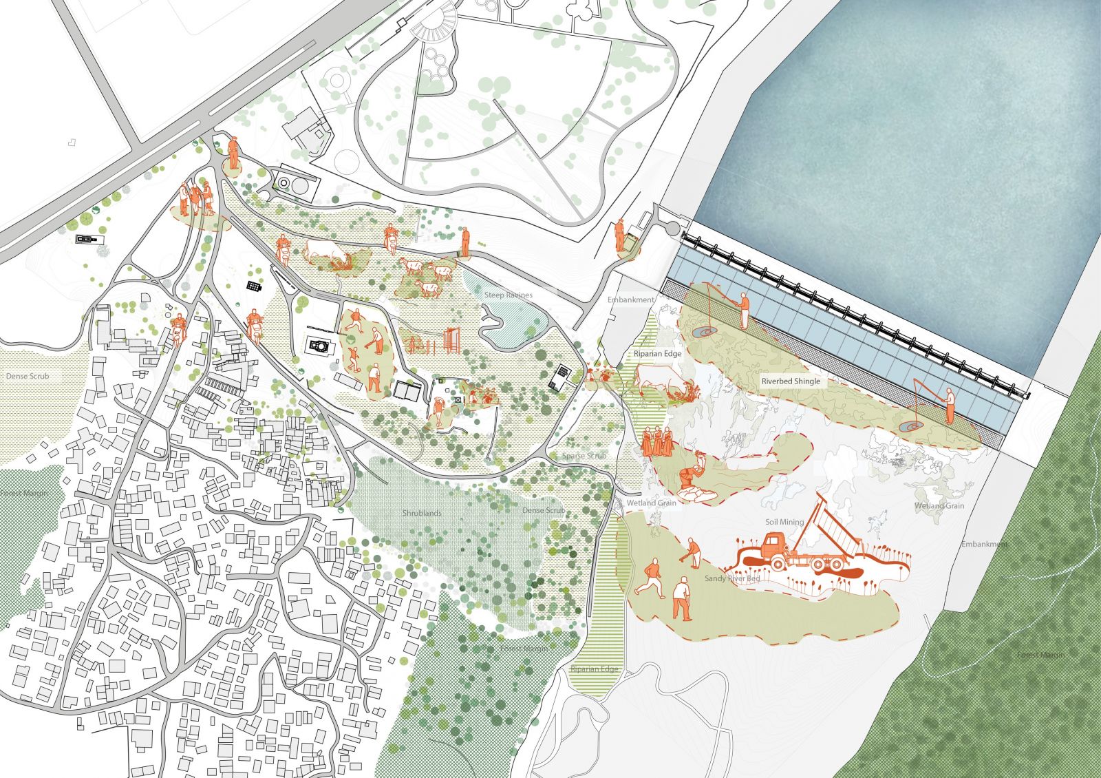
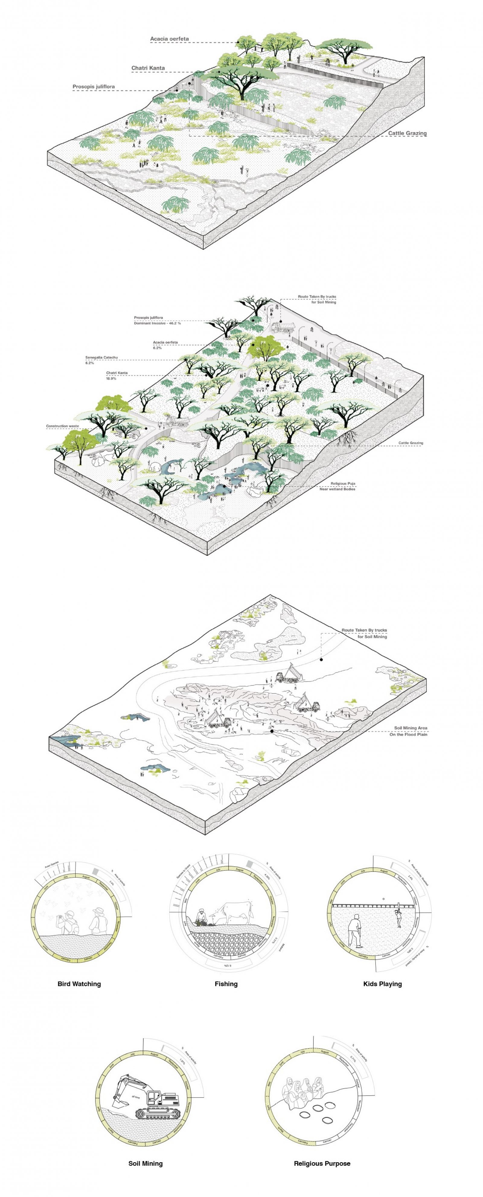
This project reimagines the neglected and fragmented river edge near the Sant Sarovar Dam on the Sabarmati River, transforming it into an inclusive, ecologically sensitive public realm. Defined by challenging topography, erosion, and the impacts of sand mining, the site has long suffered from poor accessibility and underutilization despite its cultural significance to the nearby community of Indroda. The design intervenes with a nuanced approach, fostering a harmonious relationship between urban engagement and the natural dynamics of the river.
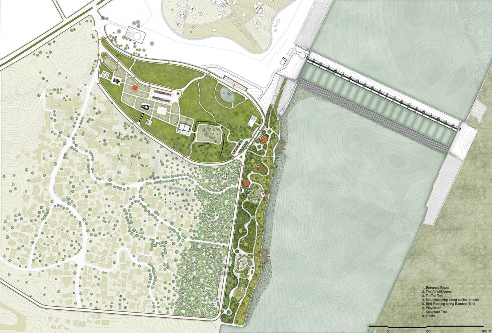
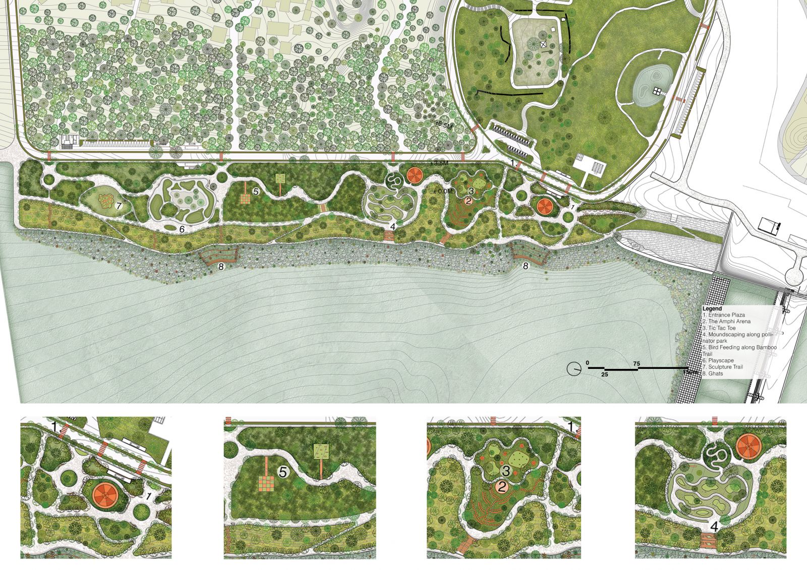
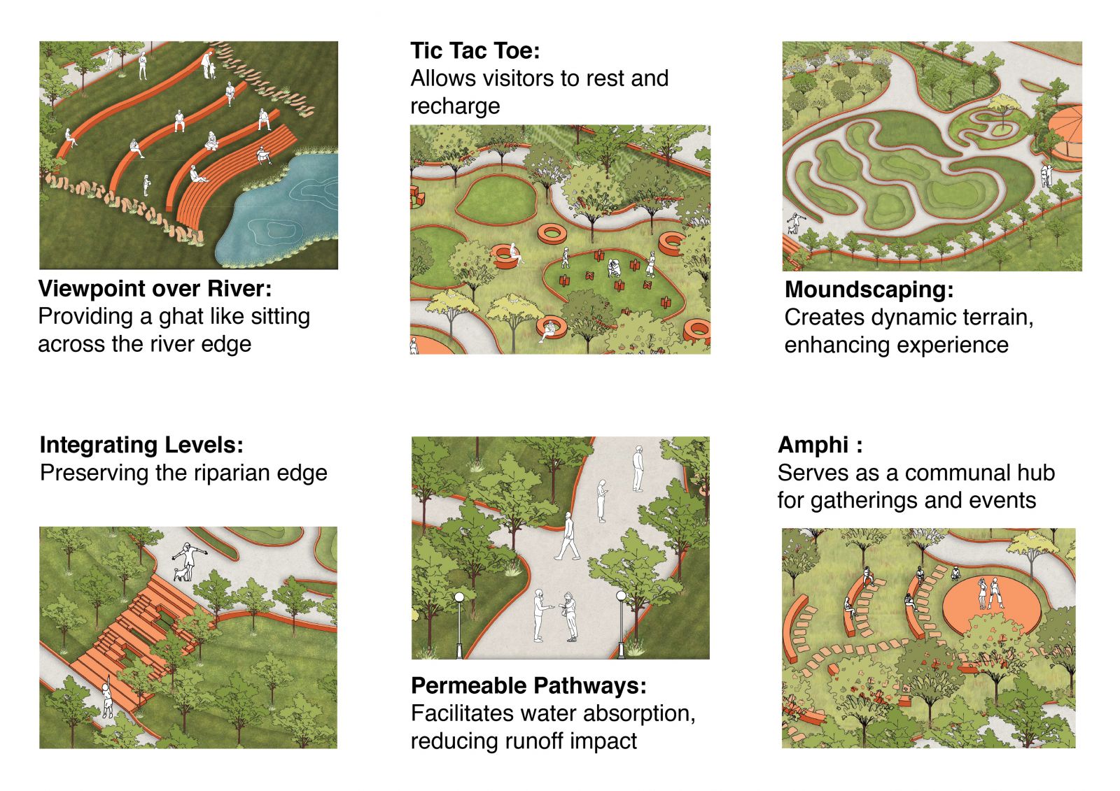
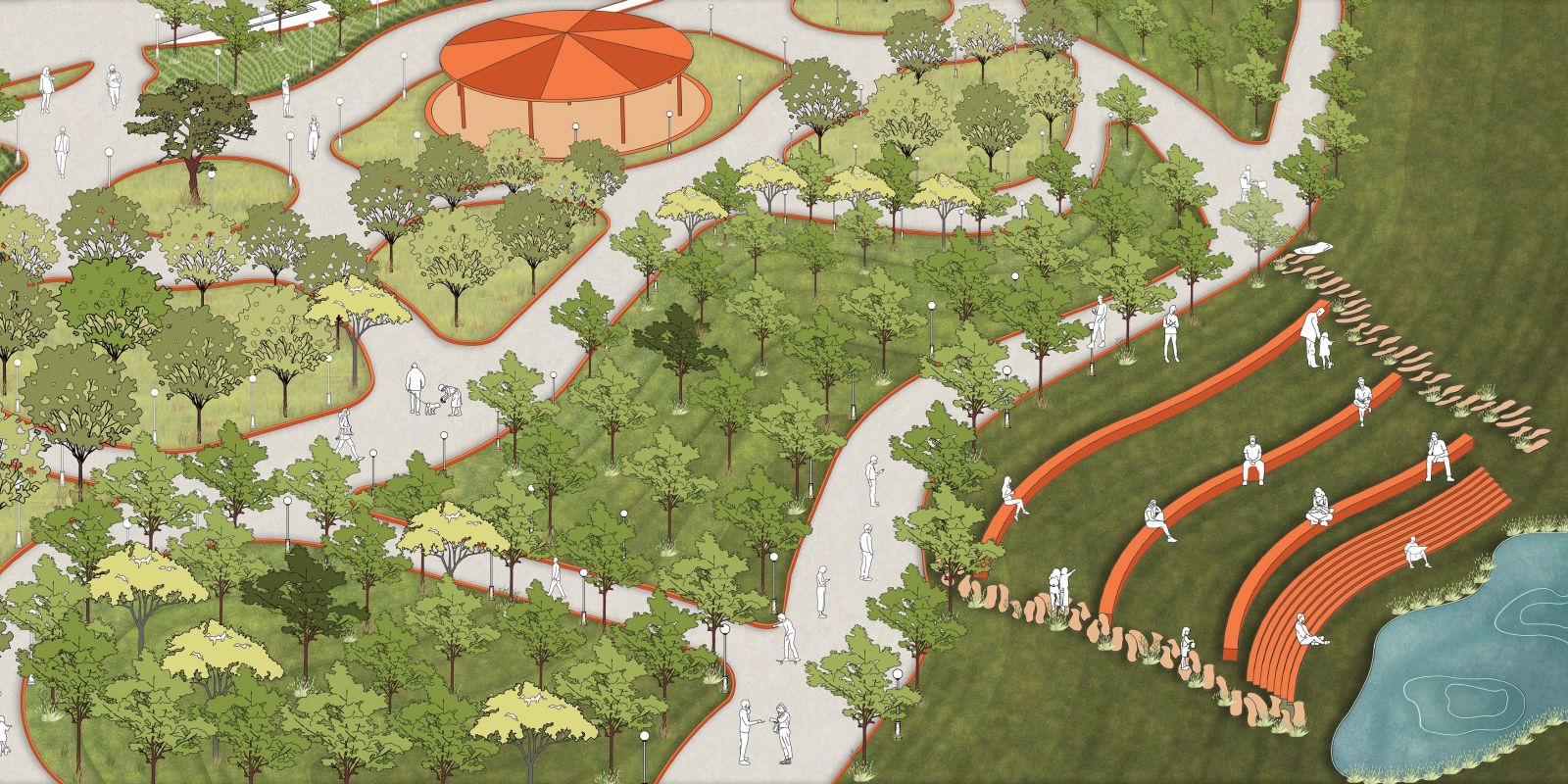
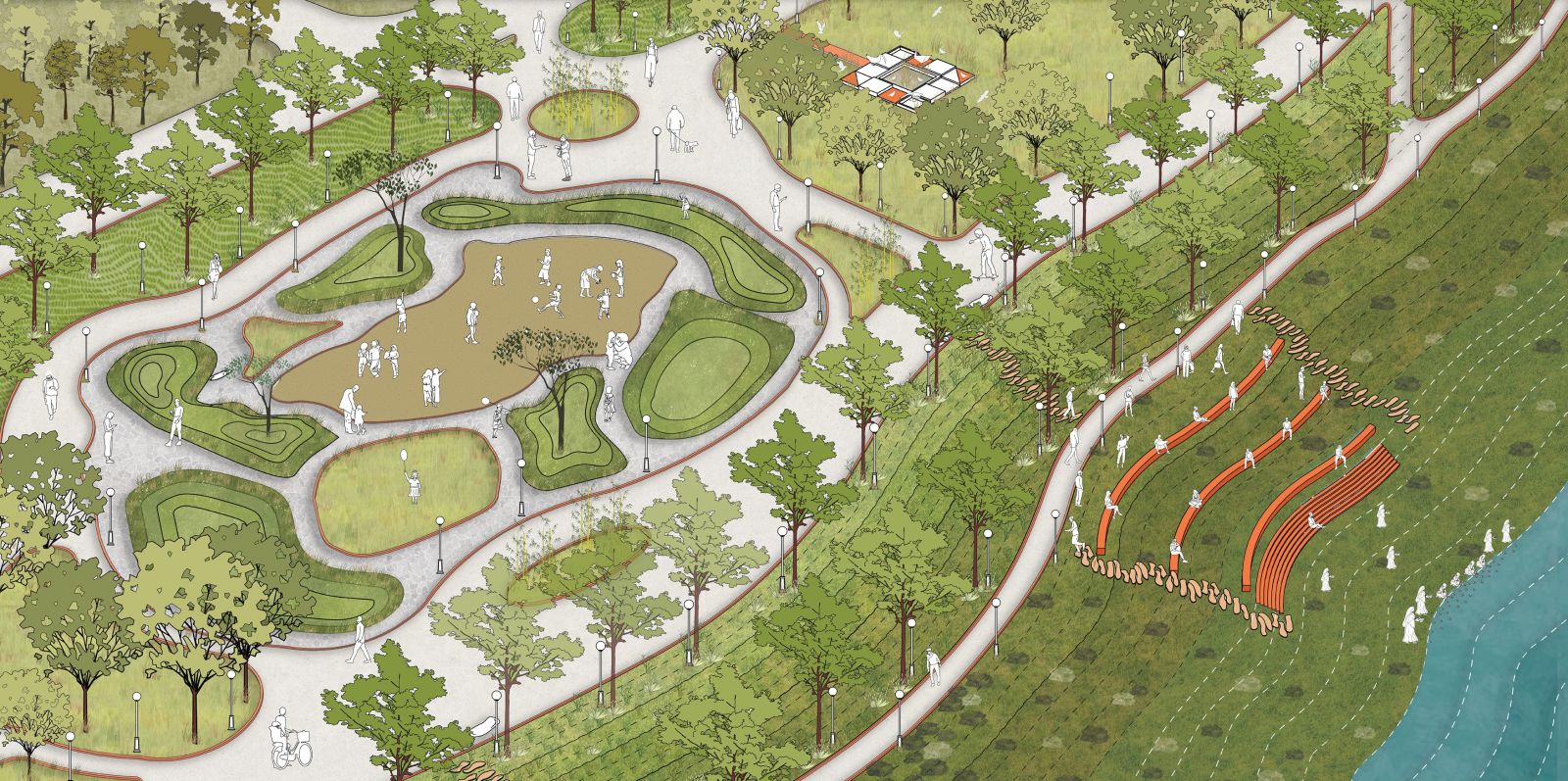
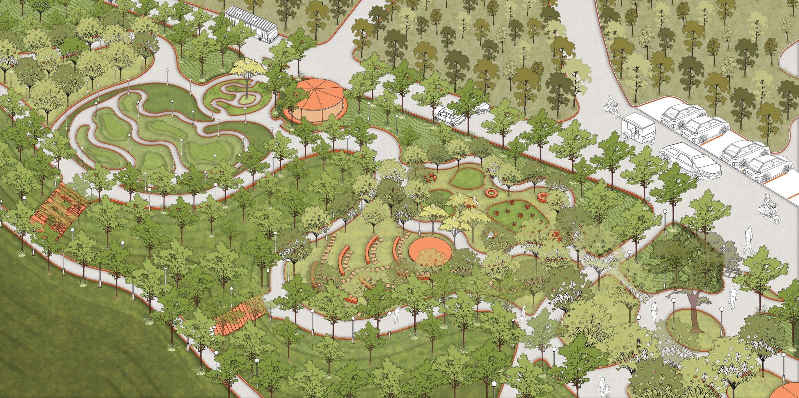
A 4,800 sqm promenade serves as the central spine of this transformation, conceived as an accessible and interactive landscape capable of accommodating around 2,000 visitors. The promenade weaves through a mosaic of trails, river-facing seating areas, and terraced steps that gently lead to the riverbed. This layered intervention merges the undulating slopes and flat midlands, creating fluid connections that offer diverse experiential zones for visitors. Each level and pathway reflect the site's inherent complexities, ensuring a dynamic interaction with the landscape.
Ecological sensitivity anchors the design. Seasonal flooding is embraced as a natural process rather than resisted, with permeable pathways integrated to absorb and respond to fluctuating water levels. Native vegetation strengthens the site's resilience, providing habitats for local wildlife and fostering biodiversity.
By bridging cultural heritage, ecological preservation, and urban accessibility, the Sant Sarovar Promenade redefines the role of riverfronts in urban contexts. It is not merely a boundary between the city and the river but a vibrant, evolving landscape where people, water, and wildlife coexist in continuous dialogue. This vision transforms a once-overlooked edge into a vital community asset, reconnecting Gandhinagar's residents to the lifeline of their city while honoring the rhythms of the natural world.
