Your browser is out-of-date!
For a richer surfing experience on our website, please update your browser. Update my browser now!
For a richer surfing experience on our website, please update your browser. Update my browser now!
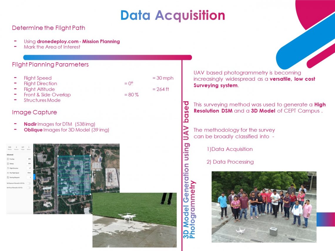
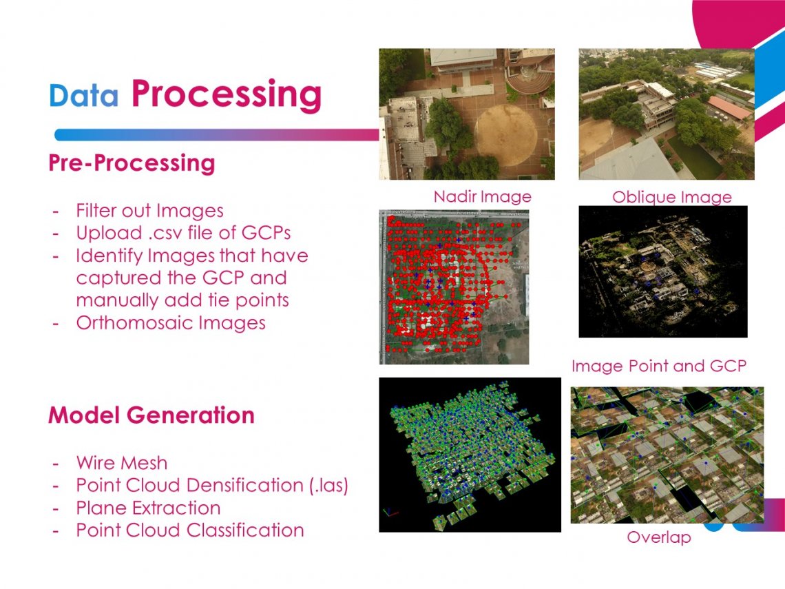
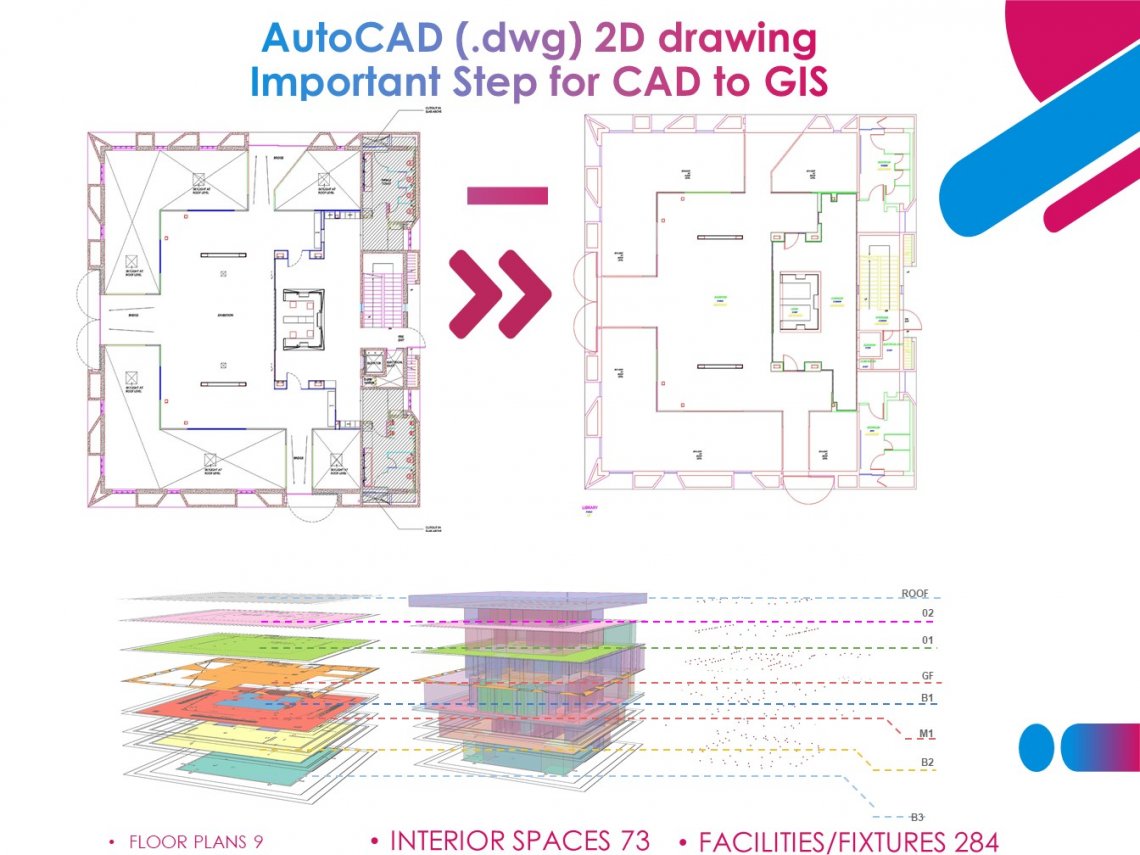
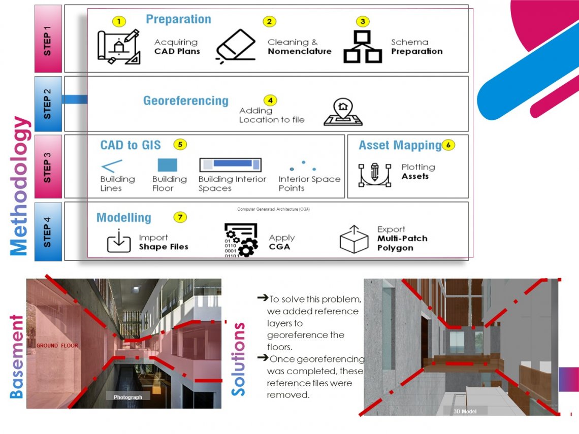
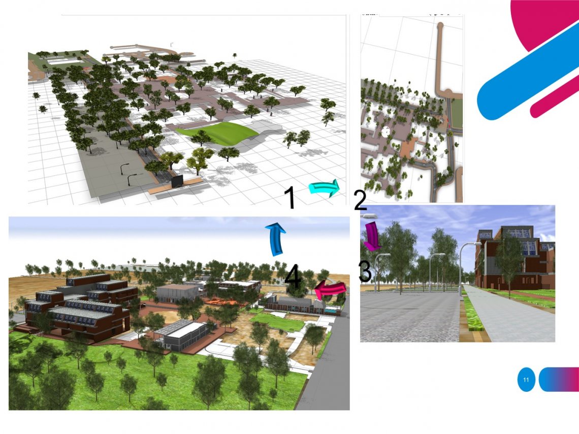
This semester we Completed 3D campus modelling with use different software like AUTO CAD, City Engine, Arc GIS pro And many more. and also Use of Drone Technology and Handling Of data.
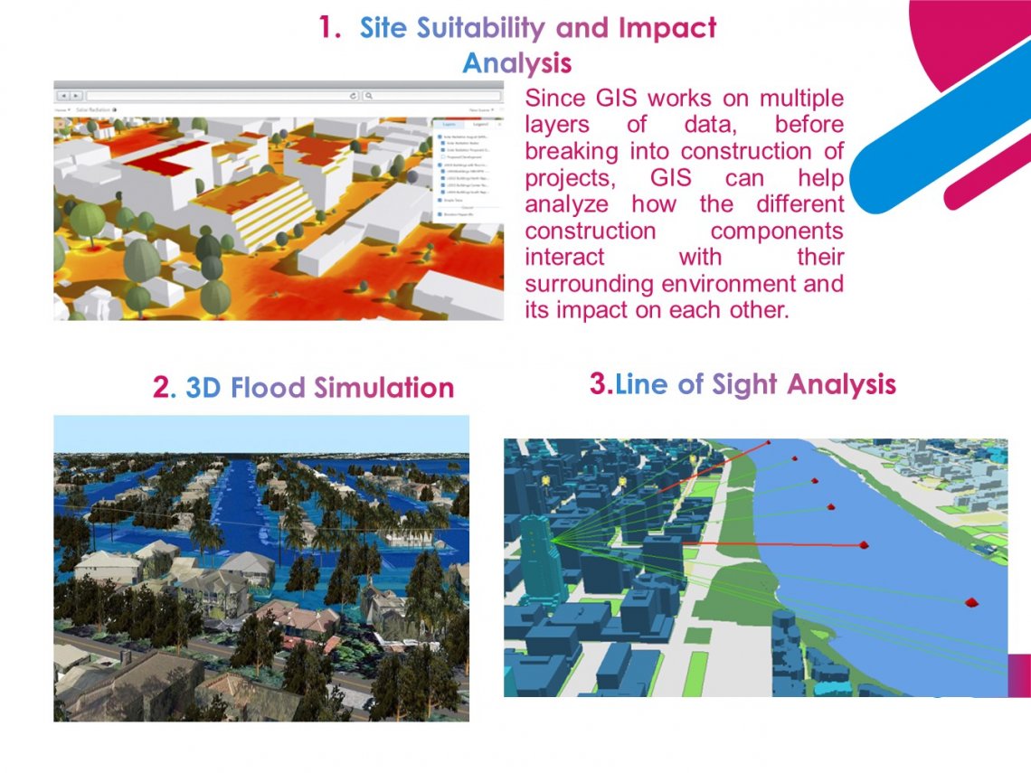
Idea and innovation: 1)Campus in 3D 2)MethodologySoftware’s and Tools used 3)GIS Data Structure
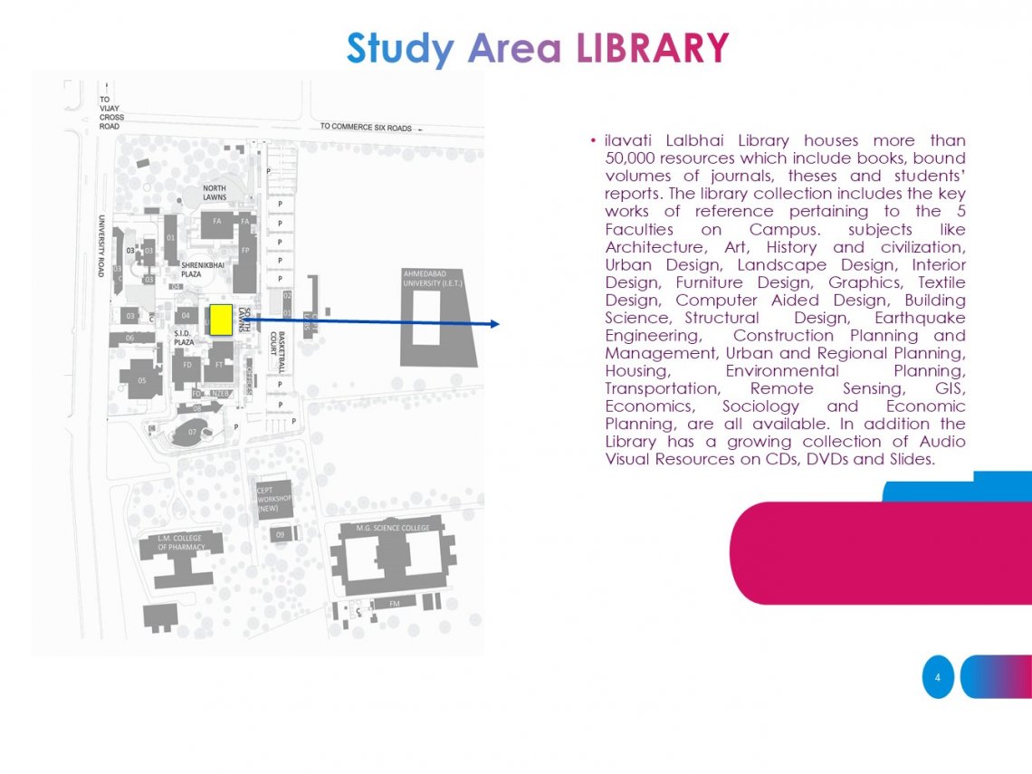
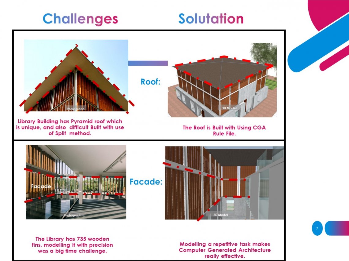
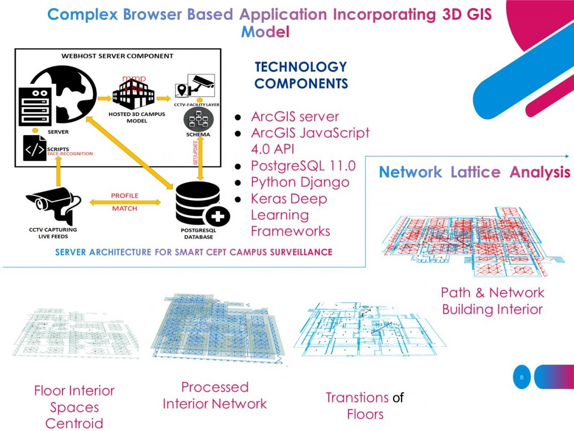
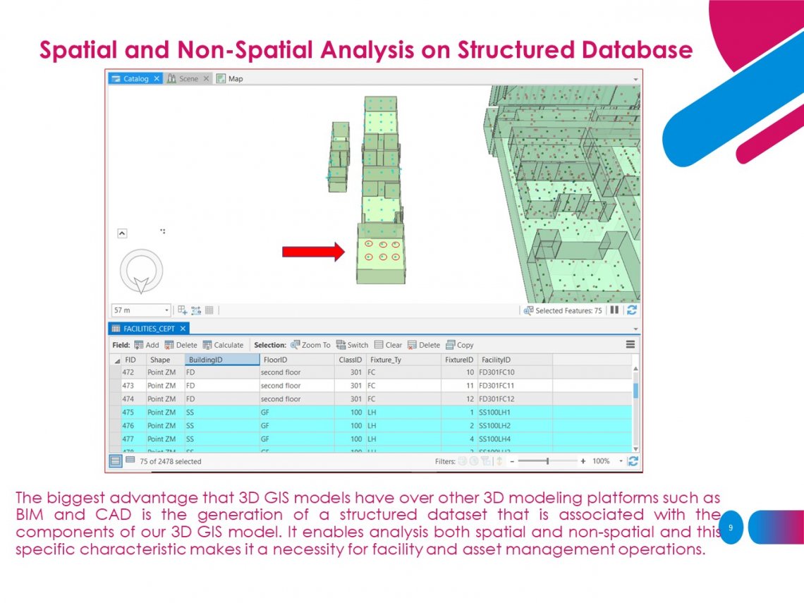
Campus output: 1) Building Wise Challenges and Learning 2) Query and Attribute 3)Classrooms Facilities Application: Navigation in the Building Importance of 3D in GIS and 3D GIS An unique use case of 3D GIS for CEPT SMART surveillance
