Your browser is out-of-date!
For a richer surfing experience on our website, please update your browser. Update my browser now!
For a richer surfing experience on our website, please update your browser. Update my browser now!
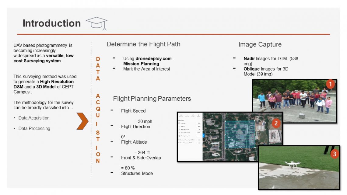
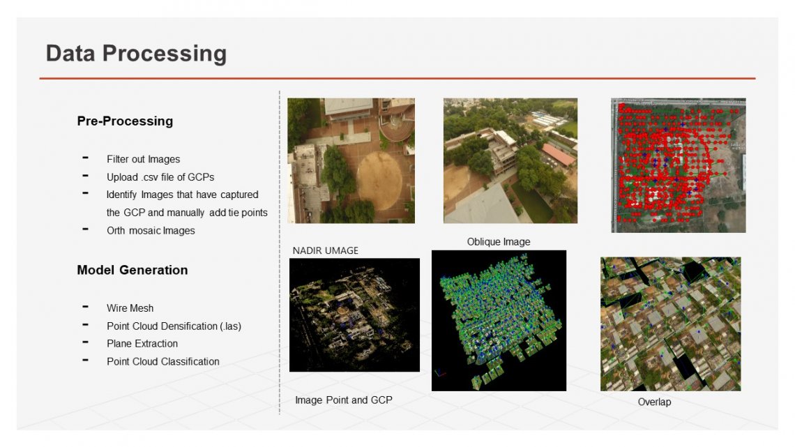
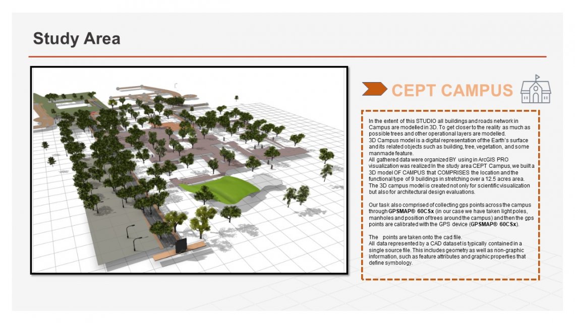
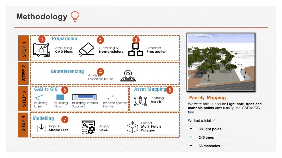
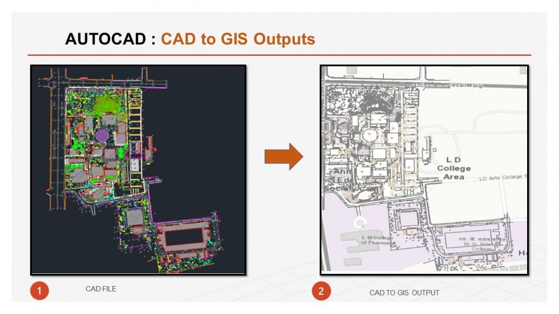
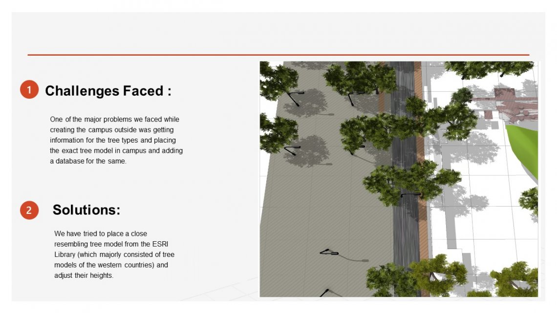
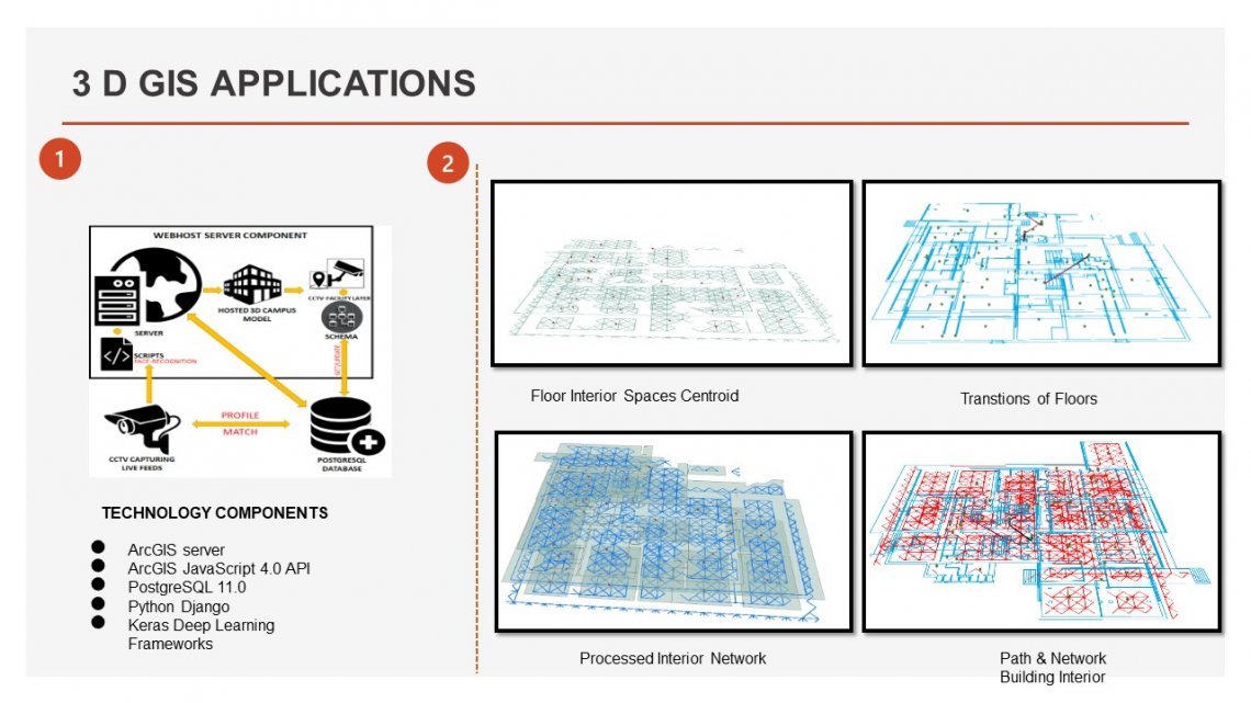
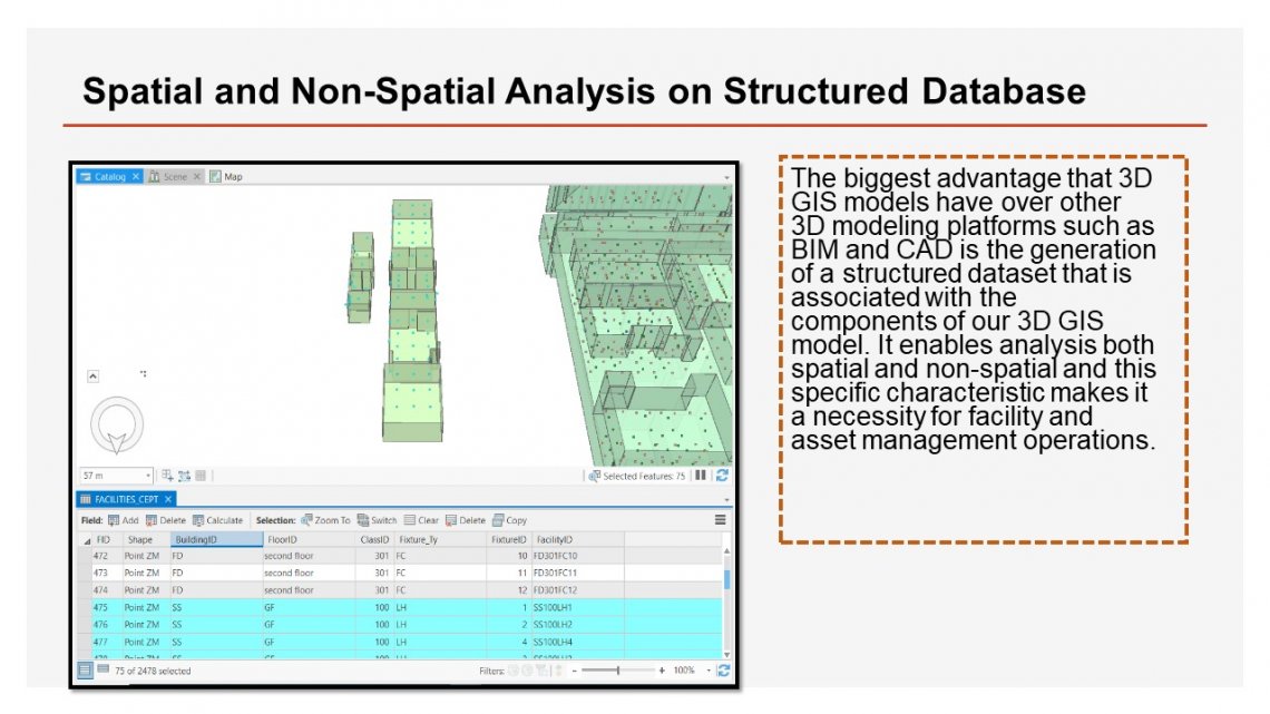
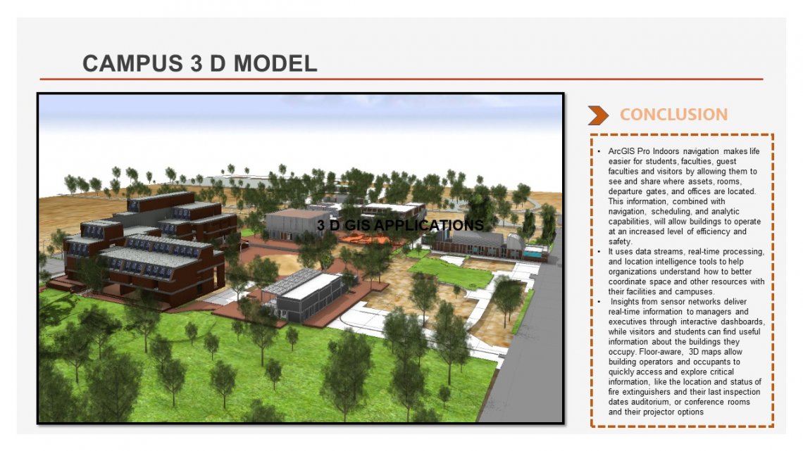
In the extent of OUR STUDIO all buildings and roads network in Campus are modeled in 3 D. To get closer to the reality as much as possible trees and other operational layers are modeled. This GIS integrated model can be used to fulfill a variety of functions such as space allocation, facility management, security & surveillance and indoor navigation.
