Your browser is out-of-date!
For a richer surfing experience on our website, please update your browser. Update my browser now!
For a richer surfing experience on our website, please update your browser. Update my browser now!
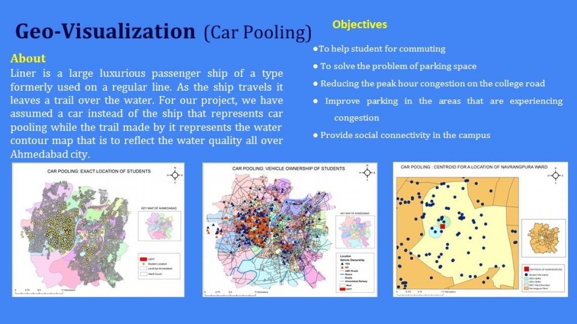
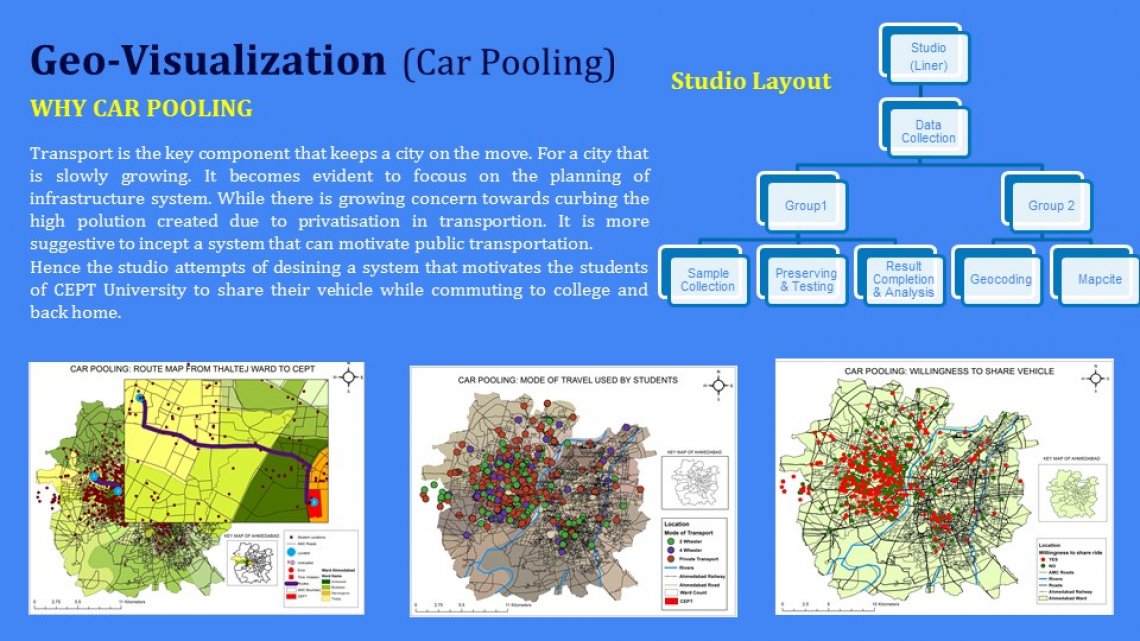
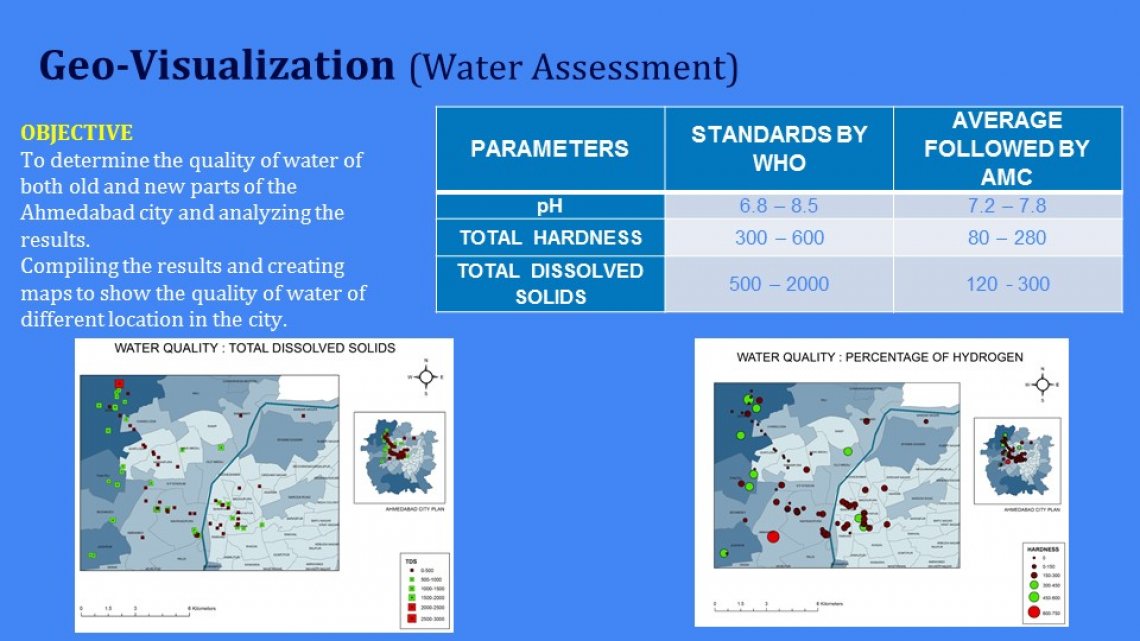
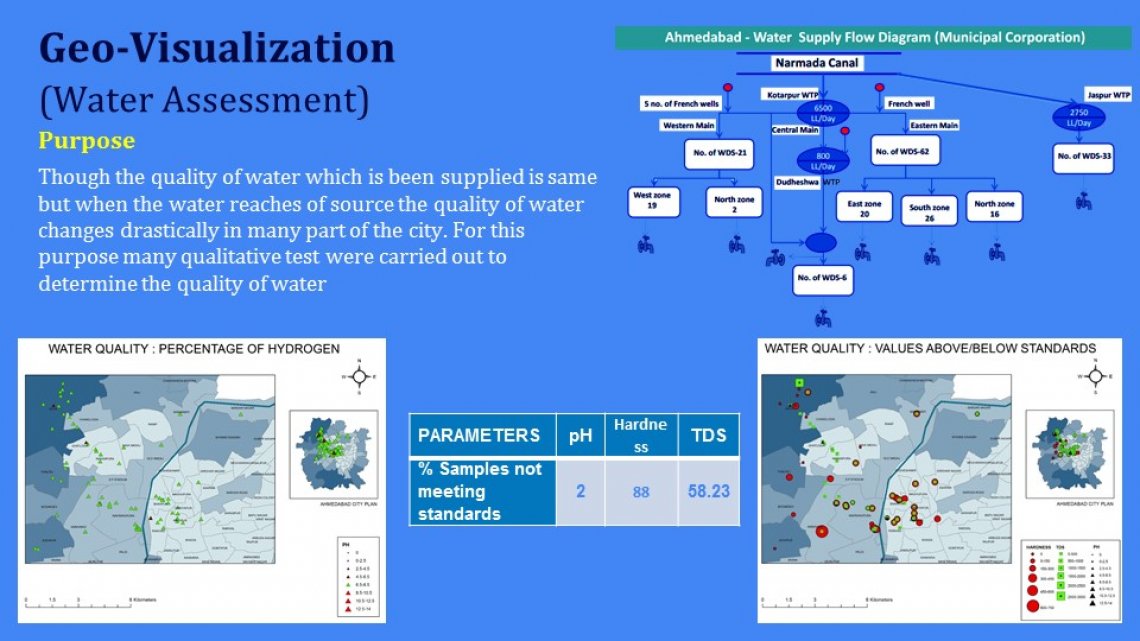
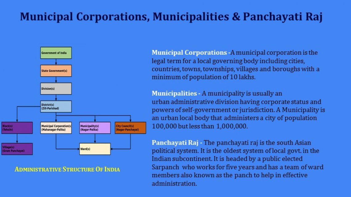
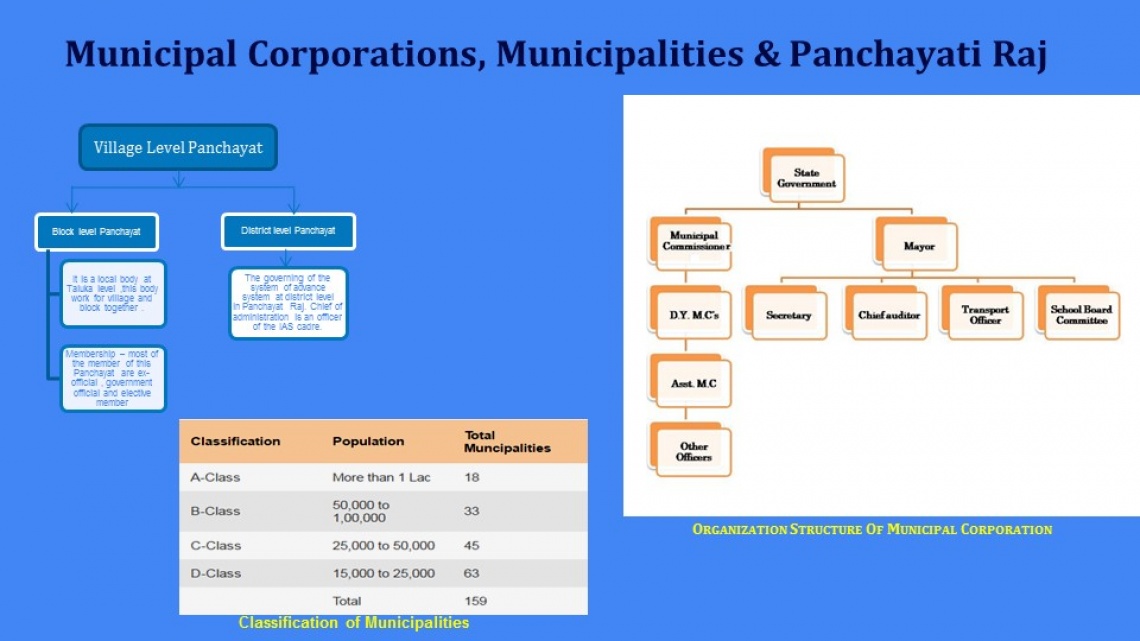
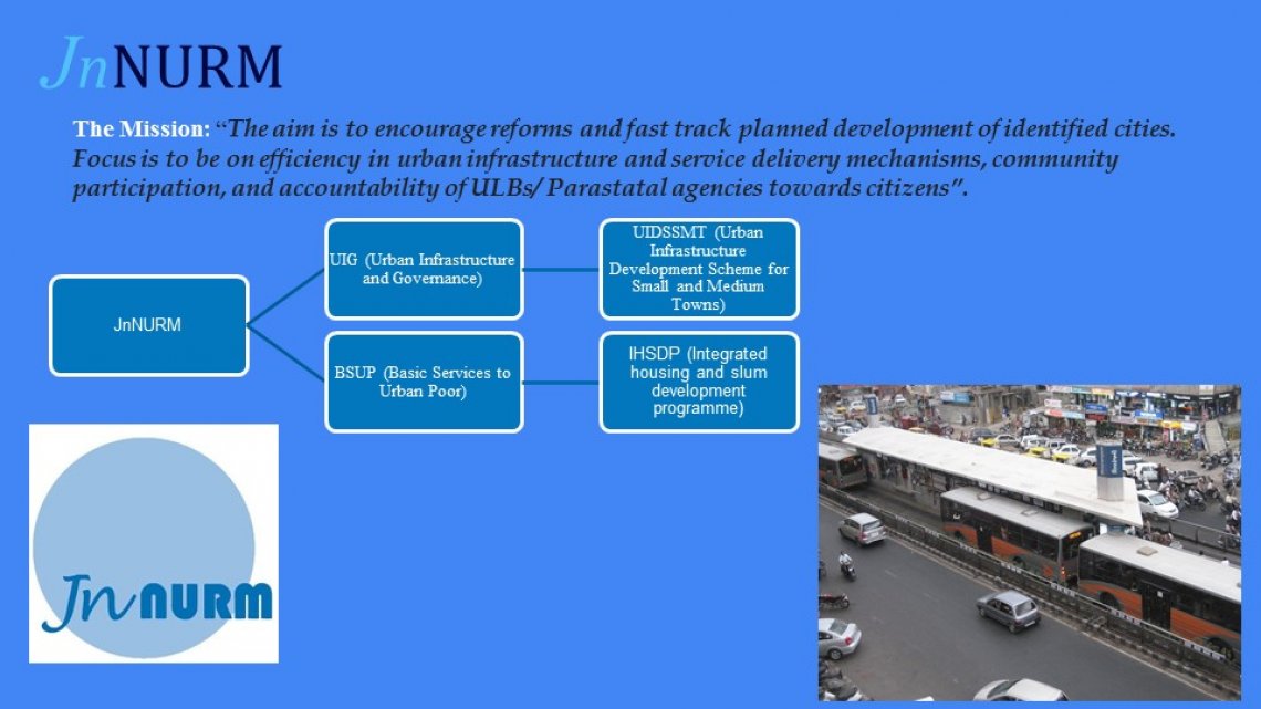
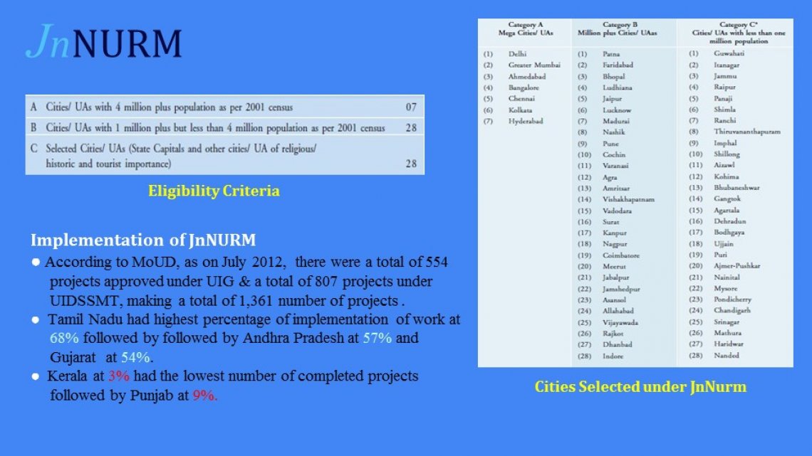
The name of the studio Geomatics for land use and urban planning itself states that to relate the land use and planning with the Geomatics. In which the various part have been studied starting with the understanding of the land use and urban planning with topics like Municipal Corporation Municipalities and Panchayati Raj, JnNurm, The Census etc. and then a project was taken in which the urban planning, land use and Geomatics is combined with topics like water contour and car pooling.