Your browser is out-of-date!
For a richer surfing experience on our website, please update your browser. Update my browser now!
For a richer surfing experience on our website, please update your browser. Update my browser now!
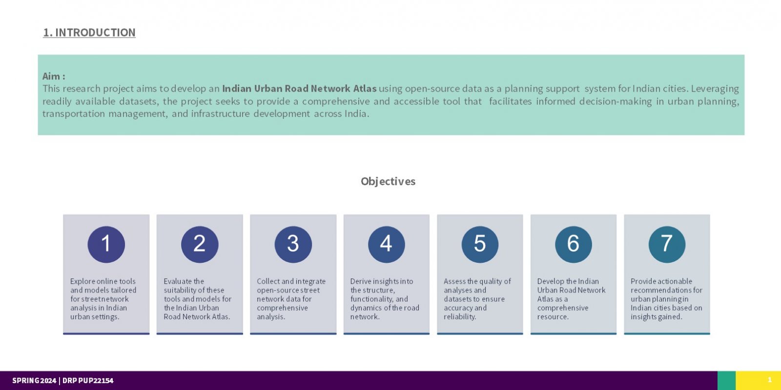
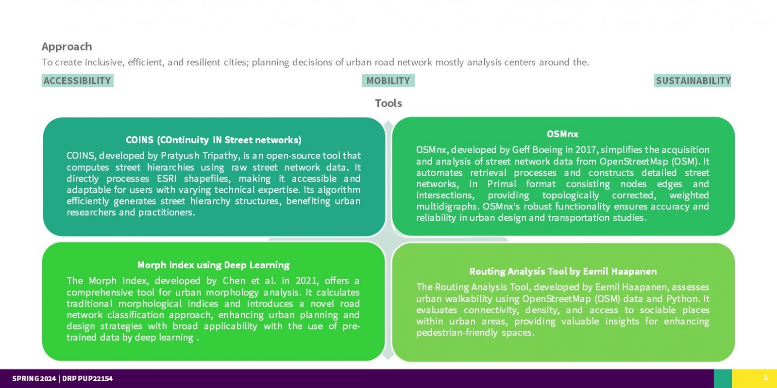
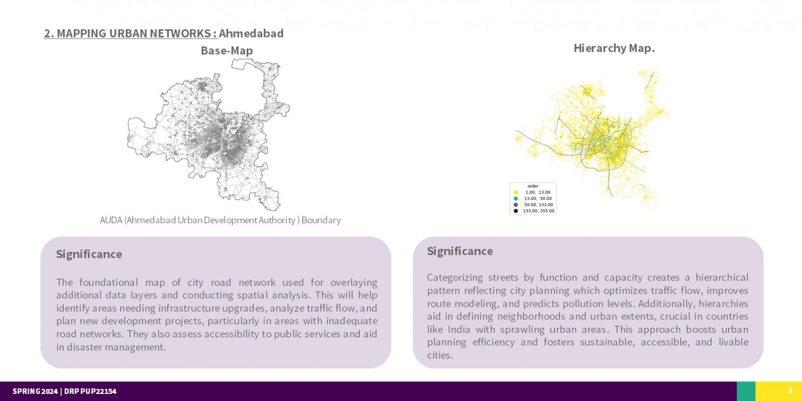
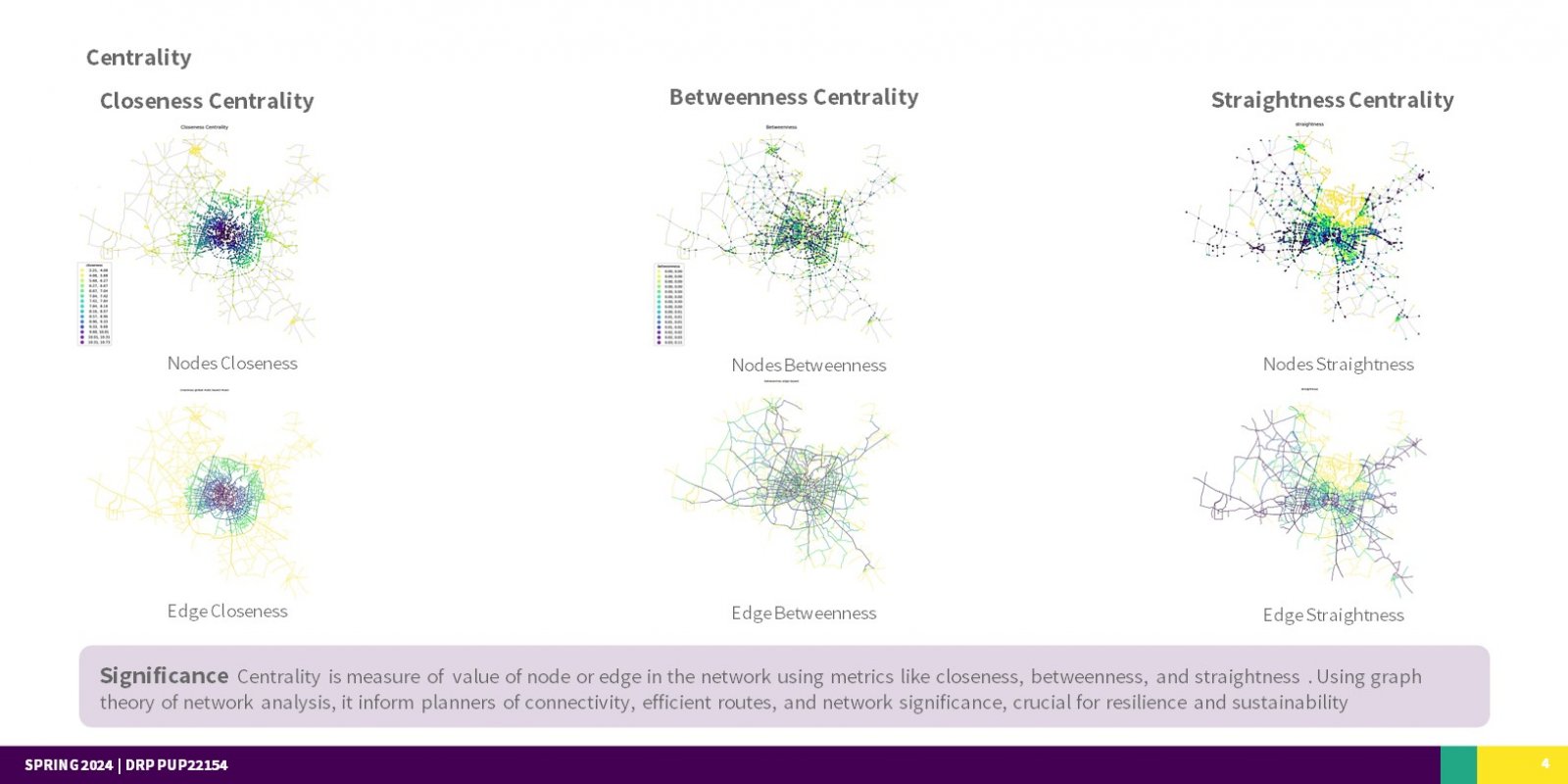
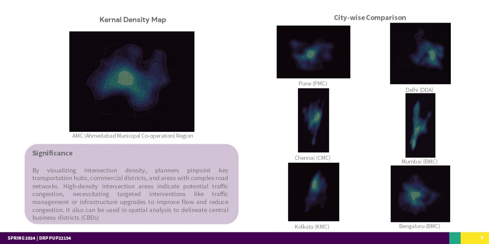
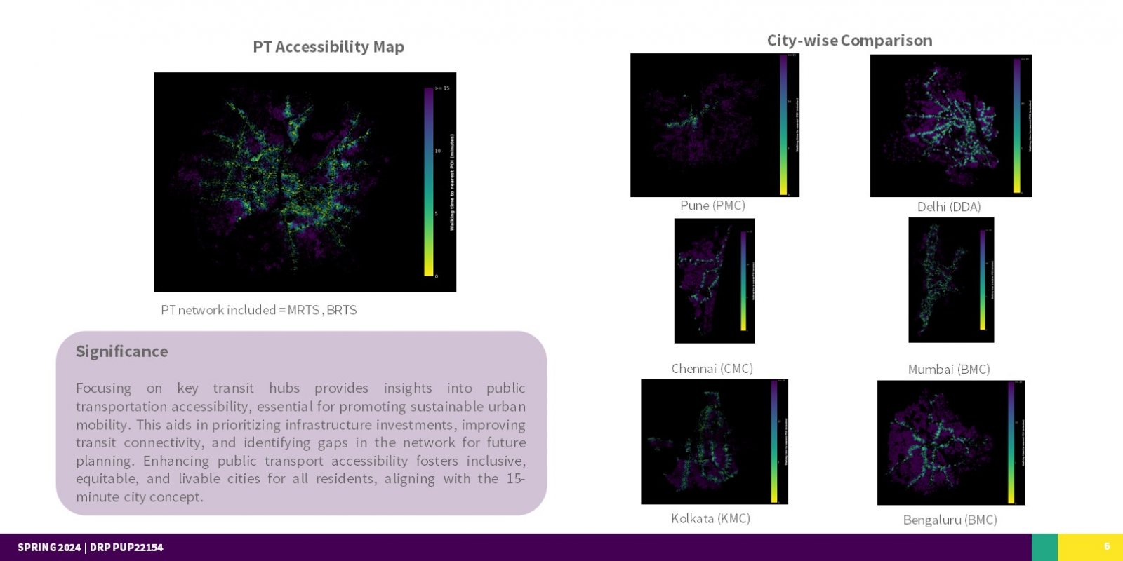
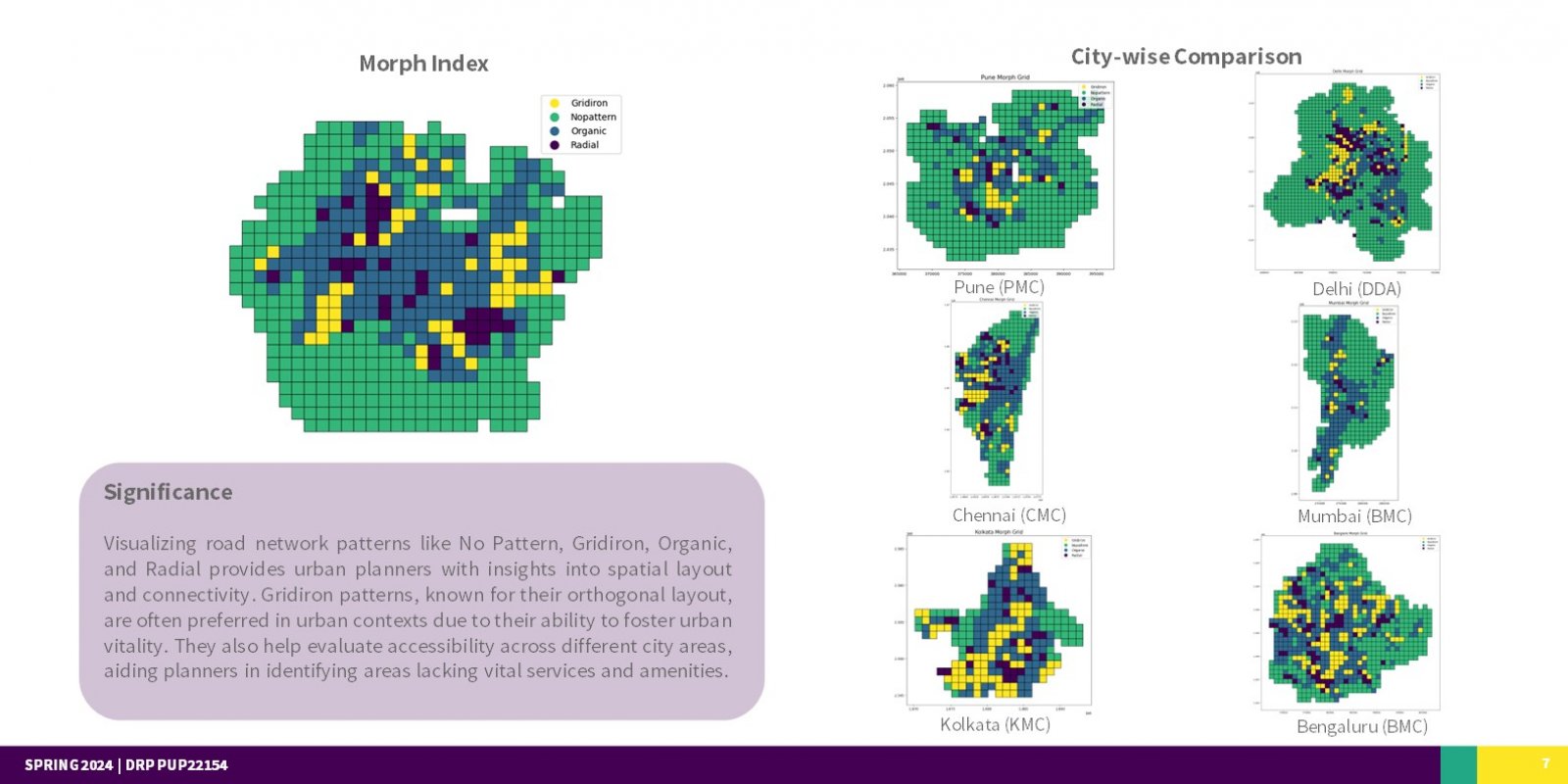
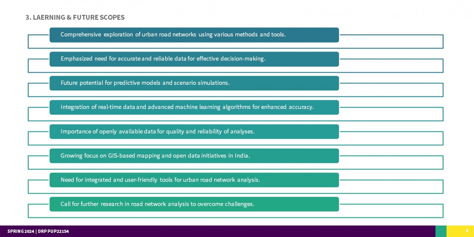
Urban road network analysis is crucial for effective urban planning and development, serving as the backbone of transportation infrastructure. However, accessing and utilizing comprehensive analysis tools and datasets can be challenging, especially in regions with limited resources. This study addresses this issue by leveraging open-source software and datasets to conduct in-depth analyses of street networks in Indian cities. Through an extensive literature review and acquisition of practical Python programming skills, key metrics and themes for analysis were identified, and street network data were collected and analysed using tools like OSMnx. Comparative studies revealed variations among city transit networks, highlighting the importance of accessible analysis tools. The findings not only contribute to academic research but also hold practical implications for urban planning, providing valuable insights into traffic flow patterns, infrastructure improvements, and access to essential services. Despite the achievements, challenges such as ease of tool usage and data accuracy persist, underscoring the need for further research and development in urban road network analysis to strengthen its role as a planning support system for sustainable urban development.
