Your browser is out-of-date!
For a richer surfing experience on our website, please update your browser. Update my browser now!
For a richer surfing experience on our website, please update your browser. Update my browser now!
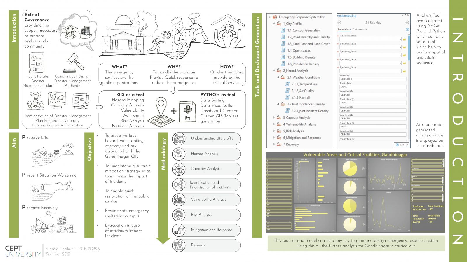
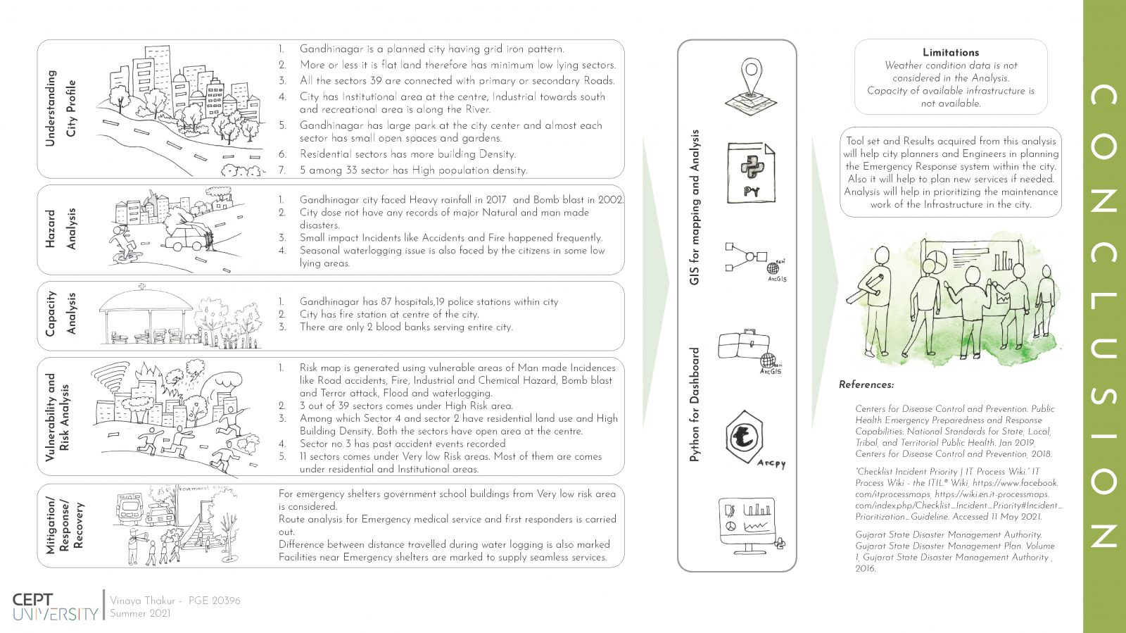
Emergency response system, a quick response to reduce damage and save lives. Government plays an important role in emergency response and services. It is their job to address the risk and also prepare as well as rebuilt community after incidences. The research started with analyzing city profile and present scenario, followed by locating vulnerable areas. This is intended to create spatially integrated decision-making support system for emergency response. The project explores multiple GIS-based methods for analysis, python language is used for visualization and dashboard creation. The tool set and model can help any city to plan emergency response system.