Your browser is out-of-date!
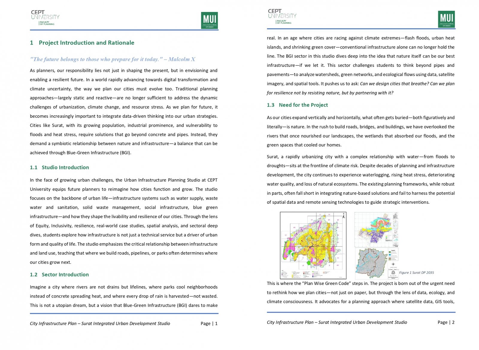
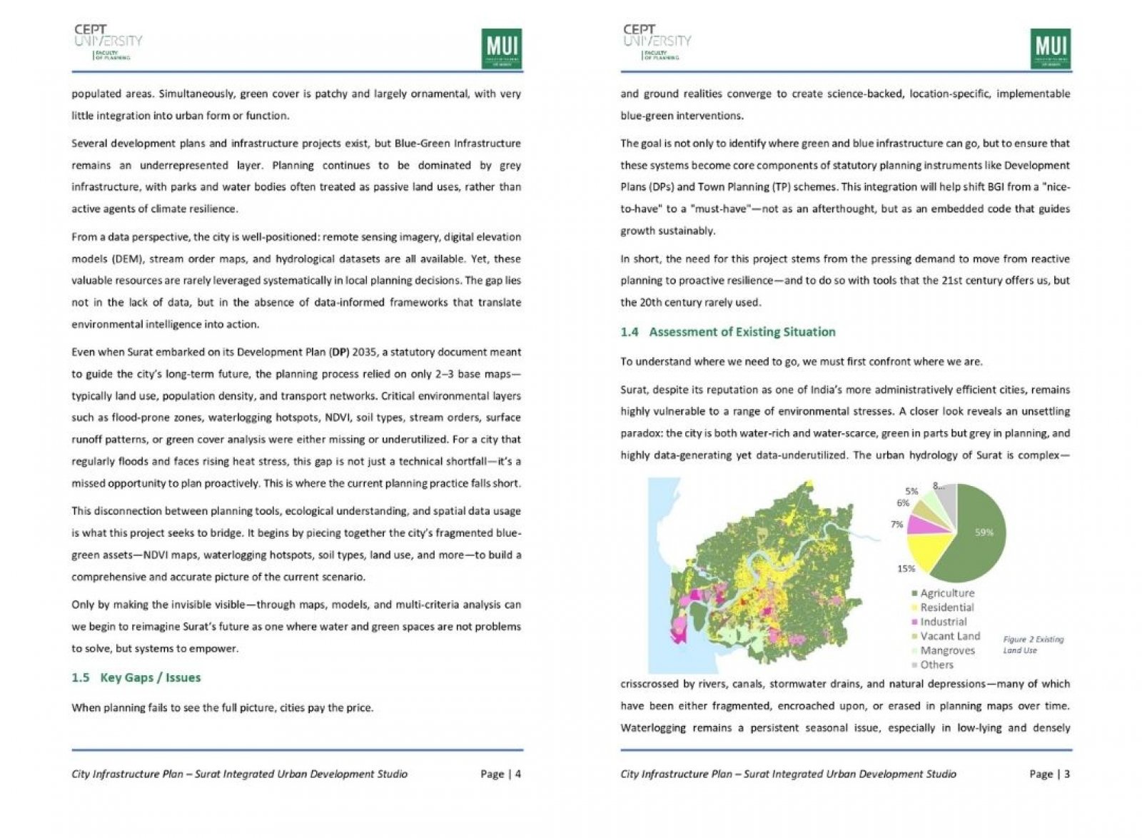
For a richer surfing experience on our website, please update your browser. Update my browser now!
For a richer surfing experience on our website, please update your browser. Update my browser now!
As climate resilience becomes a central concern in urban planning, this project aims to develop a data-driven toolkit for identifying environmental vulnerabilities in Surat at the ward level. By leveraging satellite-derived indices such as Land Surface Temperature (LST), Normalized Difference Vegetation Index (NDVI), and Normalized Difference Built-up Index (NDBI), the project evaluates urban heat stress and ecological gaps. The insights are visualized using Power BI, enabling planners to recommend context-specific Blue-Green Infrastructure (BGI) strategies. This approach bridges conventional planning with geospatial intelligence, supporting more adaptive and sustainable decision-making in city development.
.jpg)
.jpg)
.jpg)
.jpg)
.jpg)
.jpg)
.jpg)