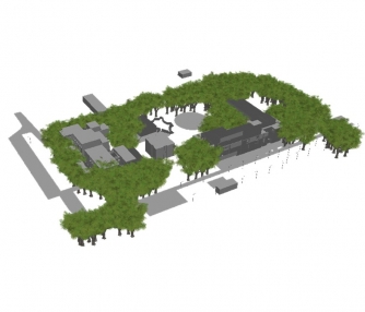
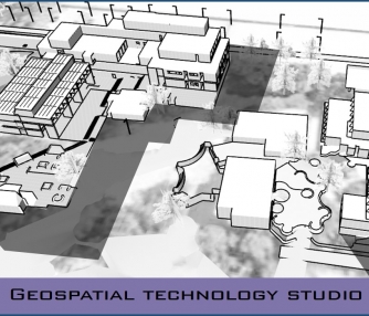
The 3D GIS models have been widely used in city planning as it portrays a realistic view of the urban landscape. The city level planning can be tailored to different scales and level of details using 3D GIS. The main objective is to understand the concept of 3D GIS and develop a tool to extract urban land uses as well as built a 3D model using an open source GIS.