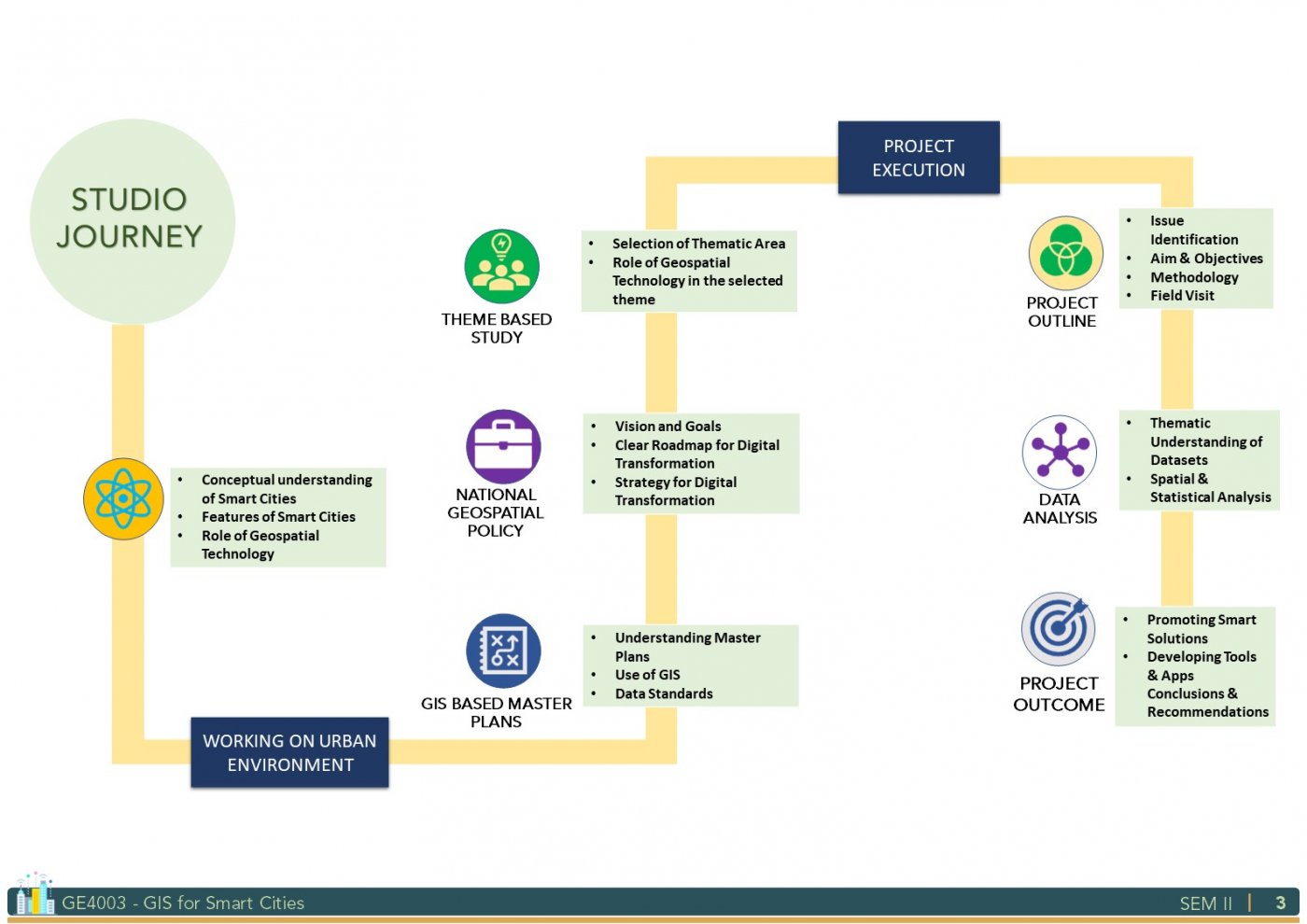
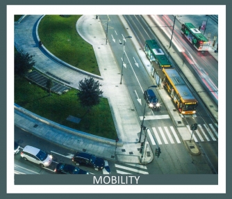
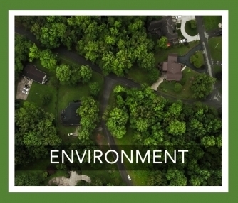
This studio was designed with a focus on applying geospatial technology for building smart cities. The purpose of smart cities is to drive economic growth and improve the quality of life of people by enabling local area development and harnessing technology, especially technology that leads to smart outcomes. Specifically, the emphasis was on the use of spatial datasets, tools, and techniques for providing geospatial solutions to smart city problems undefined issues and undefined challenges. Decision-making through spatial analysis using vector and raster-based data models, model building, computer programming was attempted for a smart city in India. As a part of the studio, several interactions with city officials and planners were carried out to identify and understand the challenges towards building a smart city and the capabilities of geospatial technology to address the challenges in a holistic manner.