TA: Ishita BhattPlanning and Design of Road infrastructure in hilly region
Population growth, economic expansion and dispersed business and social structures generate a seemingly inexorable demand for new and improved roads, not least in India.
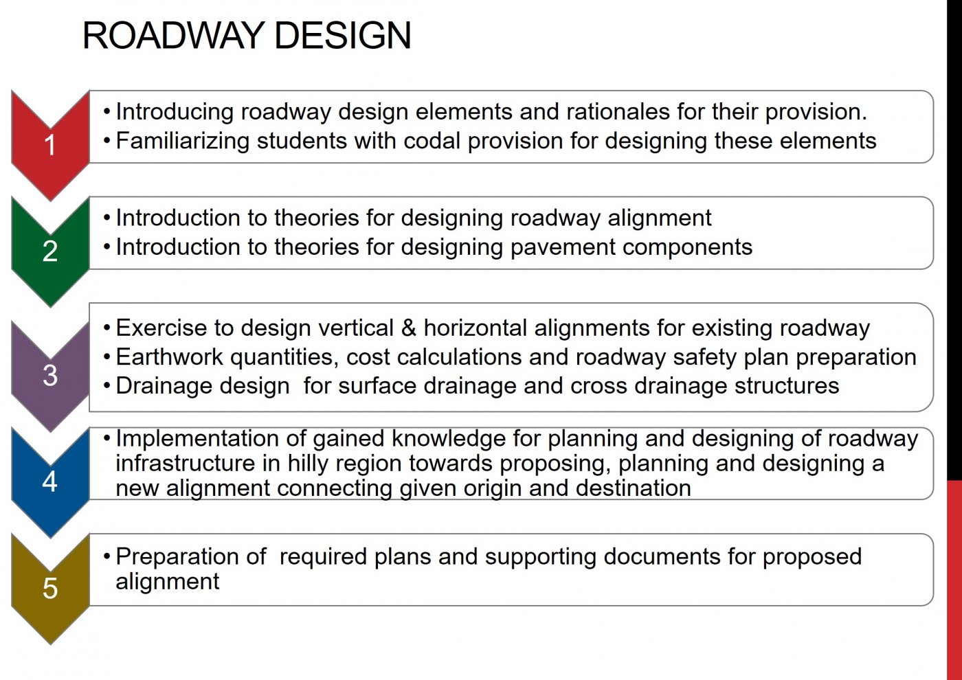
Road design requires an understanding of the frequently conflicting needs of diverse users from slow moving, vulnerable pedestrians, cyclists and animals, to fast moving vehicles of many kinds. The civil engineering science of road construction and complex regulatory codes also need to be understood. Engineers are required to master all this understanding for the task of road planning and design.
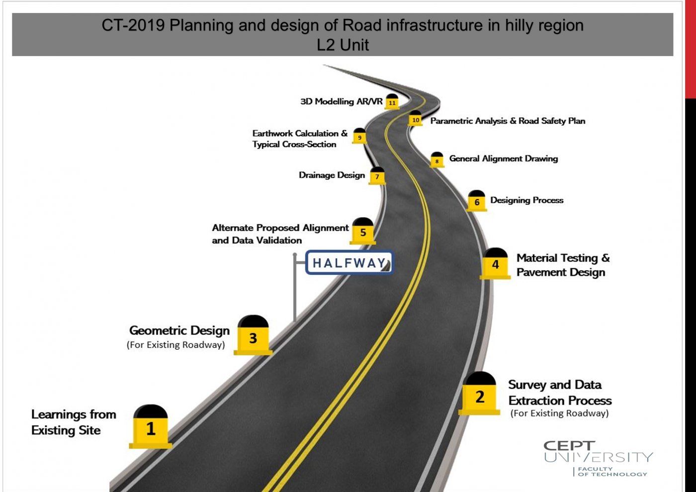
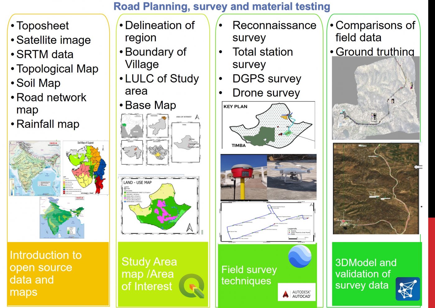
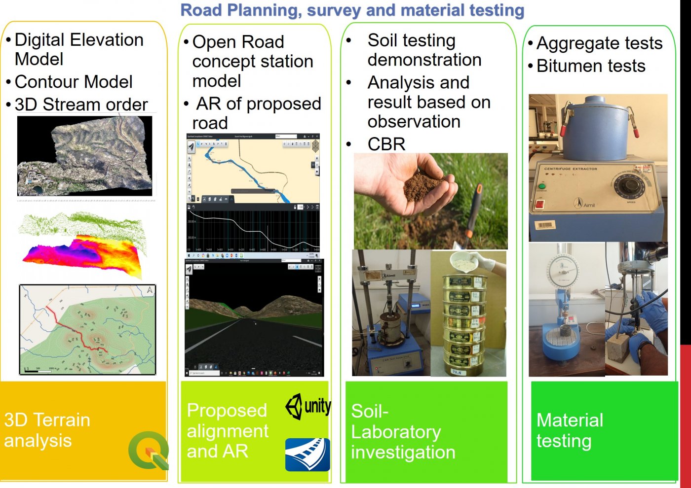
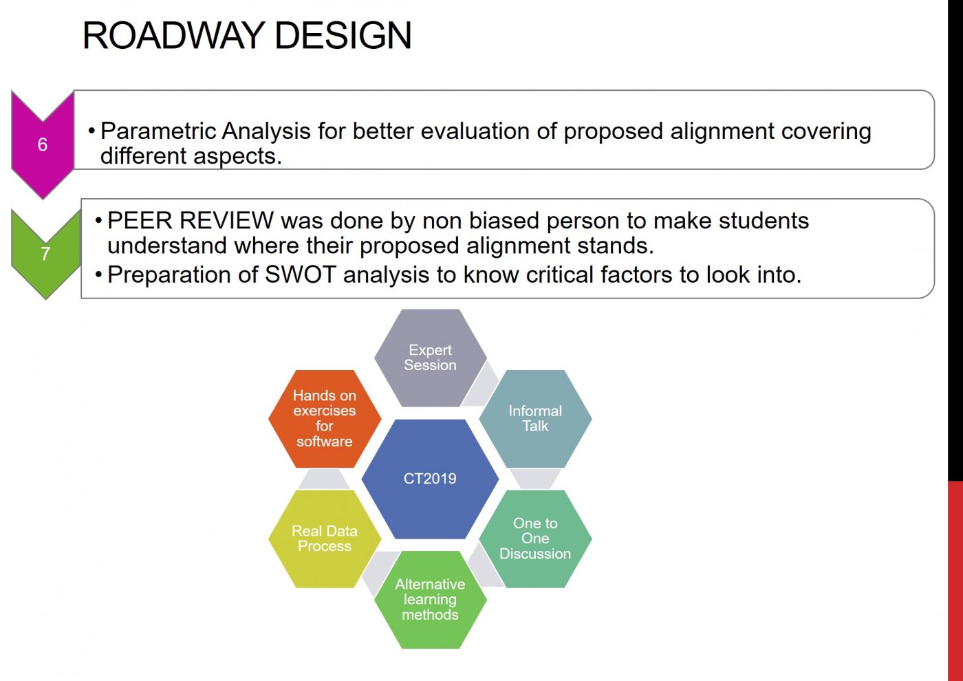
The Road Planning and Design Studio equipped students for these complex tasks through the exploration of the design of a road in a hilly region. Every aspect of the road design problem was examined during the course including: understanding the users requirements; testing and selection of route alignments based on civil and highway engineering principles, techniques and codes; technical specification; design of its elements, quantity calculations; parametric studies and road safety analysis using advanced design tools such as Open-Road, Bentley reality modeling, AutoCAD, Google Earth and Q-GIS.
Students also developed skills in analysis and visualization of collected data through advanced mapping techniques including 3D Model, DSM and Augmented Reality (AR) and Virtual Reality (VR).