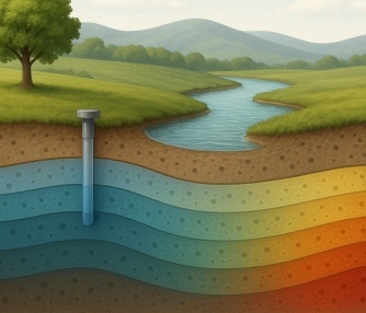
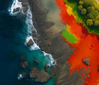
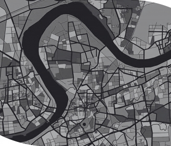
This studio is designed to develop students’ analytical and modelling skills for solving real-world problems. Geospatial models are useful to reconstruct the real-world spatial phenomena with respect to present, past, and future scenarios. It is beneficial for a wide range of several applications including urban expansion studies, water resource management, flood prediction, climate impact assessment and mitigation studies, location intelligence, traffic management, biodiversity conservation and much more.
Students will learn the working principles of geospatial modelling, input data preparation, model calibration, validation, evaluation, sensitivity, and uncertainty analysis during the studio. Additionally, students will evaluate model performance using primary and secondary datasets. Efforts will be made to improve model structures and codes to enhance performance and problem-solving capabilities. After successful completion of this studio, students will be able to simulate spatial processes using a Geospatial model and use them effectively to solve several real-world problems.