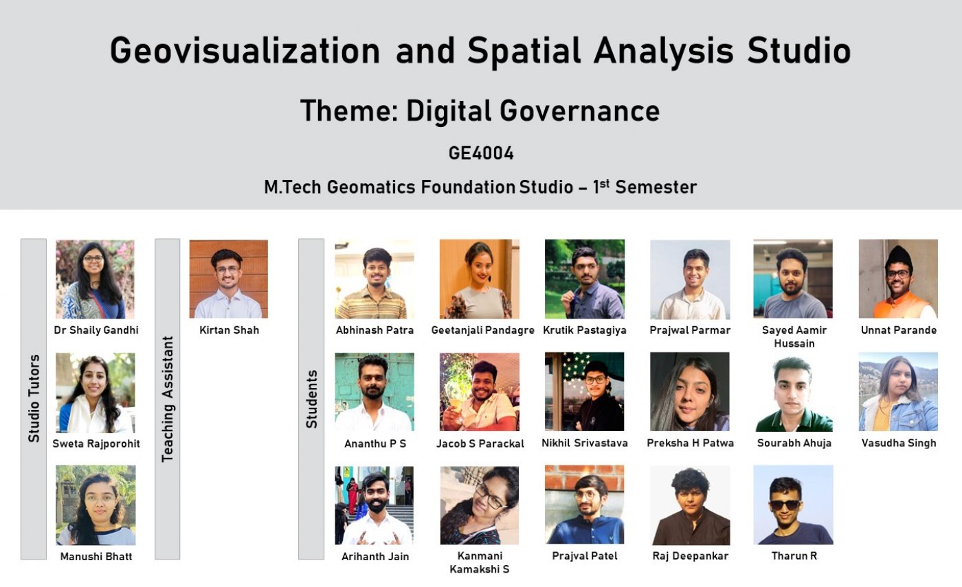
TA: Kirtan ShahGeovisualization and Spatial Analysis Studio
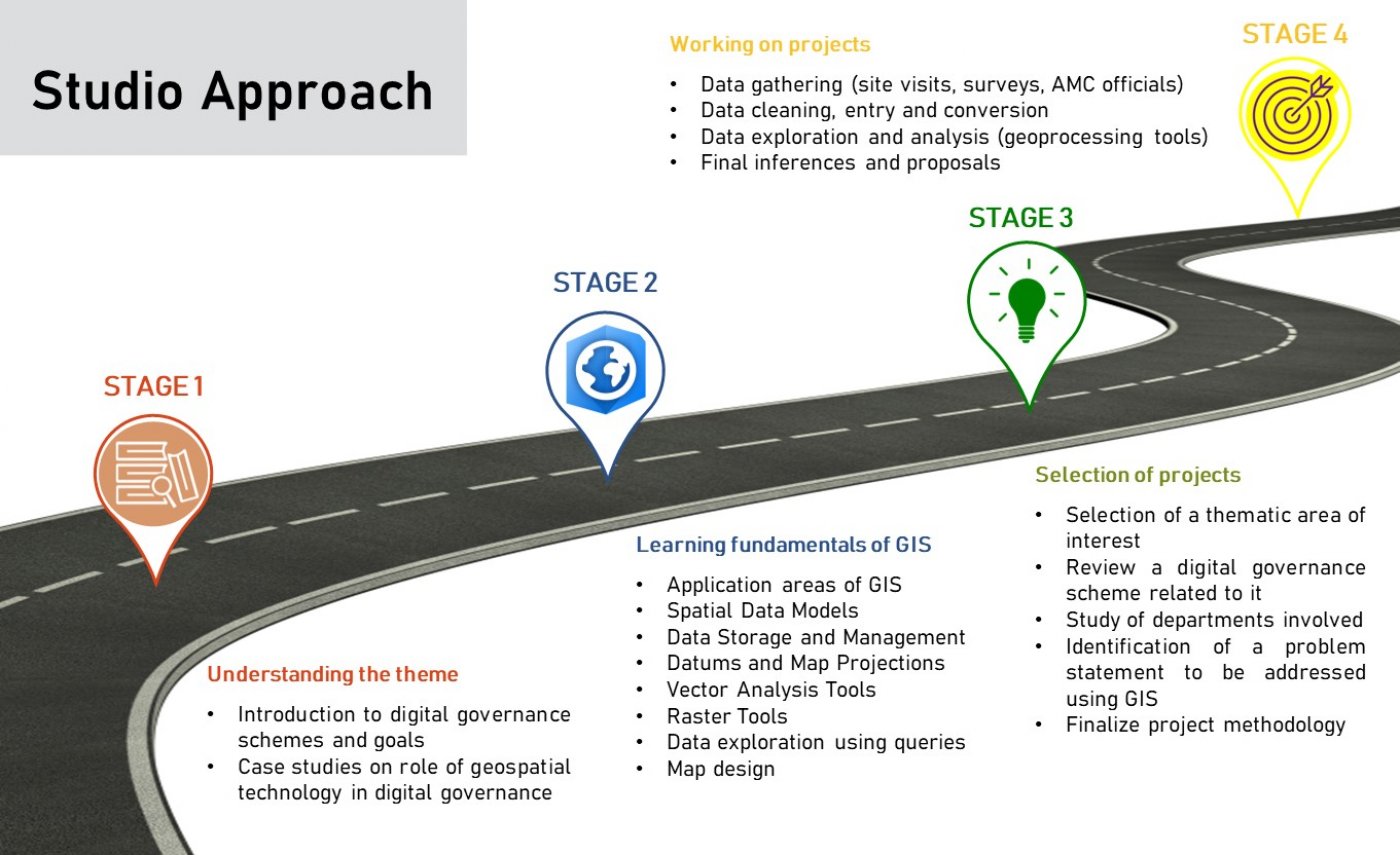
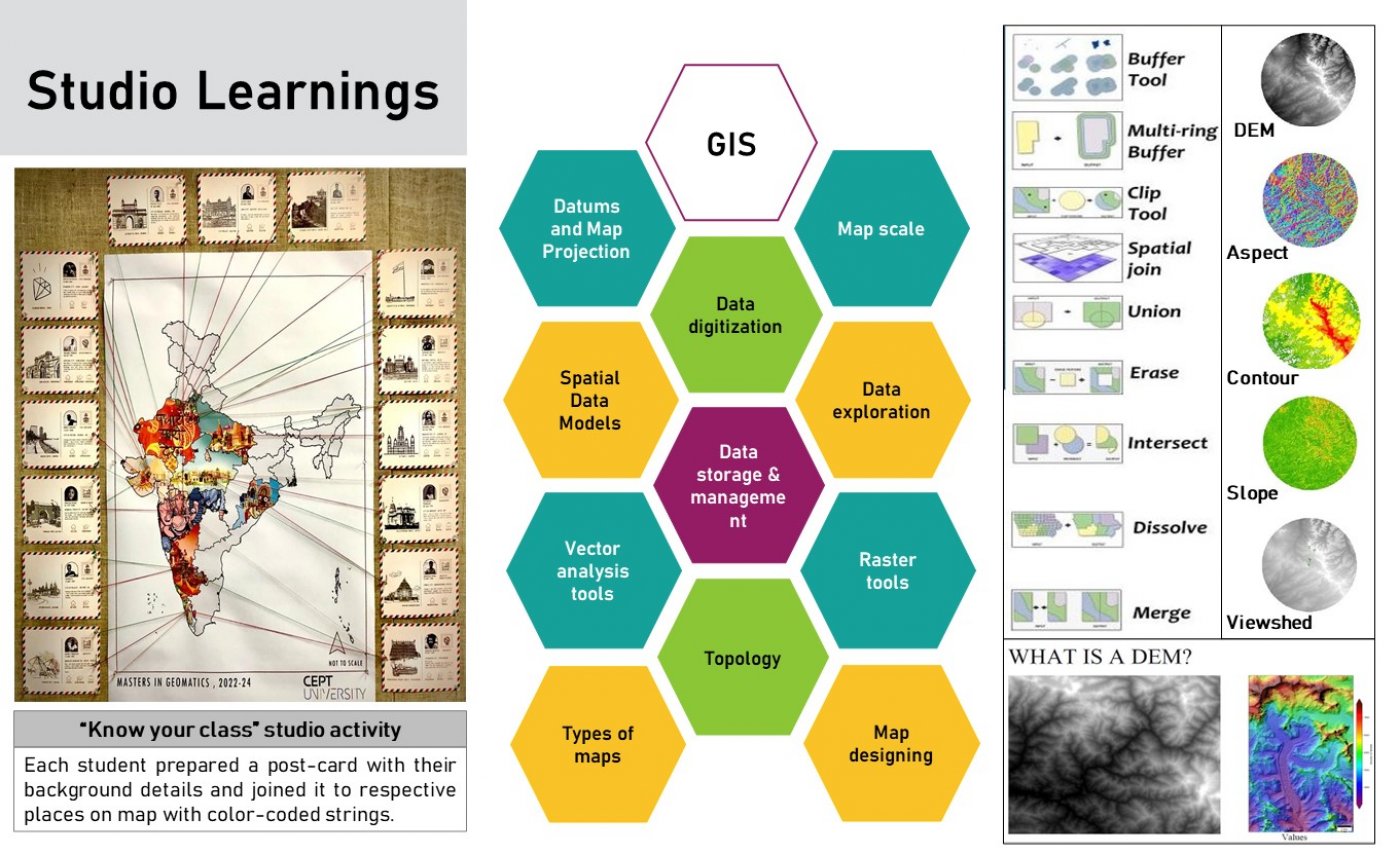
This studio is designed with a focus on inculcating the culture of mapping and learning geovisualization. Specifically, the emphasis would be on understanding the basics of GIS and spatial databases to create meaningful maps for providing geospatial solutions to problems/issues/challenges. Geovisualization using vector and raster-based data models would be taught in depth.. Towards the end, the students would be able to solve or propose probable spatial solutions.
The studio learning aims to build skills among the students: skill to collect and compile the information, skill to visual representation of the information, through mapping and analysis as well as innovative thinking on the real-time case study.
The students will use Geographical Information System and Remote Sensing simultaneously during the semester.